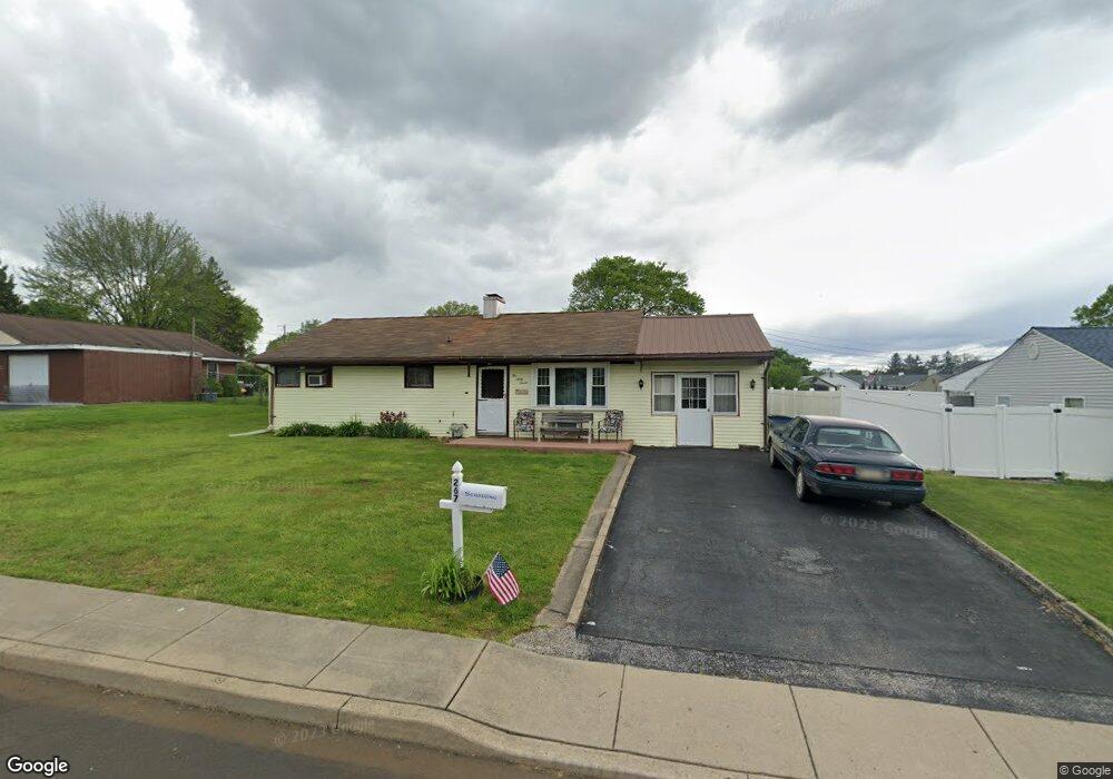
267 Wyandotte Rd Fairless Hills, PA 19030
Estimated Value: $322,091 - $369,000
--
Bed
1
Bath
960
Sq Ft
$369/Sq Ft
Est. Value
About This Home
This home is located at 267 Wyandotte Rd, Fairless Hills, PA 19030 and is currently estimated at $354,523, approximately $369 per square foot. 267 Wyandotte Rd is a home located in Bucks County with nearby schools including Oxford Valley Elementary School, William Penn Middle School, and Pennsbury High School.
Ownership History
Date
Name
Owned For
Owner Type
Purchase Details
Closed on
May 27, 2005
Sold by
Yocum Jean E
Bought by
Stradling Justin B
Current Estimated Value
Home Financials for this Owner
Home Financials are based on the most recent Mortgage that was taken out on this home.
Original Mortgage
$84,800
Outstanding Balance
$44,442
Interest Rate
5.82%
Mortgage Type
Fannie Mae Freddie Mac
Estimated Equity
$310,081
Purchase Details
Closed on
Oct 19, 1953
Bought by
Yocum William F and Yocum Jean
Create a Home Valuation Report for This Property
The Home Valuation Report is an in-depth analysis detailing your home's value as well as a comparison with similar homes in the area
Home Values in the Area
Average Home Value in this Area
Purchase History
| Date | Buyer | Sale Price | Title Company |
|---|---|---|---|
| Stradling Justin B | $106,000 | -- | |
| Yocum William F | -- | -- |
Source: Public Records
Mortgage History
| Date | Status | Borrower | Loan Amount |
|---|---|---|---|
| Open | Stradling Justin B | $84,800 |
Source: Public Records
Tax History Compared to Growth
Tax History
| Year | Tax Paid | Tax Assessment Tax Assessment Total Assessment is a certain percentage of the fair market value that is determined by local assessors to be the total taxable value of land and additions on the property. | Land | Improvement |
|---|---|---|---|---|
| 2025 | $4,098 | $18,400 | $5,520 | $12,880 |
| 2024 | $4,098 | $18,400 | $5,520 | $12,880 |
| 2023 | $3,926 | $18,400 | $5,520 | $12,880 |
| 2022 | $3,804 | $18,400 | $5,520 | $12,880 |
| 2021 | $3,731 | $18,400 | $5,520 | $12,880 |
| 2020 | $3,731 | $18,400 | $5,520 | $12,880 |
| 2019 | $3,665 | $18,400 | $5,520 | $12,880 |
| 2018 | $3,620 | $18,400 | $5,520 | $12,880 |
| 2017 | $3,529 | $18,400 | $5,520 | $12,880 |
| 2016 | $3,529 | $18,400 | $5,520 | $12,880 |
| 2015 | $3,150 | $18,400 | $5,520 | $12,880 |
| 2014 | $3,150 | $18,400 | $5,520 | $12,880 |
Source: Public Records
Map
Nearby Homes
- 225 Yorkshire Rd Unit HIII
- 208 Suffolk Rd
- 571 Fernwood Ln
- 479 Stanford Rd
- 245 Trenton Rd
- 560 Fernwood Ln
- 331 Doone Place
- 20 Trellis Rd
- 525 Nel Dr
- 59 Liberty Dr
- 180 Andover Rd Unit A
- 114 Nursery Ave
- 53 Crestwood Rd
- 14 Cinnamon Rd
- 212 Apple St
- 46 Quill Rd
- 31 Quail Rd
- 134 Lincoln Hwy Unit 11
- 524 Ehret Rd
- 28 Rainbow Ln
- 269 Wyandotte Rd Unit H
- 265 Wyandotte Rd
- 241 Tewksbury Rd Unit HI
- 266 Wyandotte Rd Unit HII
- 268 Wyandotte Rd Unit H11
- 236 Suffolk Rd
- 240 Suffolk Rd
- 264 Wyandotte Rd
- 239 Tewksbury Rd
- 270 Wyandotte Rd
- 234 Suffolk Rd
- 240 Tewksbury Rd
- 262 Wyandotte Rd
- 272 Wyandotte Rd
- 232 Suffolk Rd
- 237 Tewksbury Rd
- 275 Yorkshire Rd
- 260 Wyandotte Rd
- 271 Yorkshire Rd
- 277 Yorkshire Rd