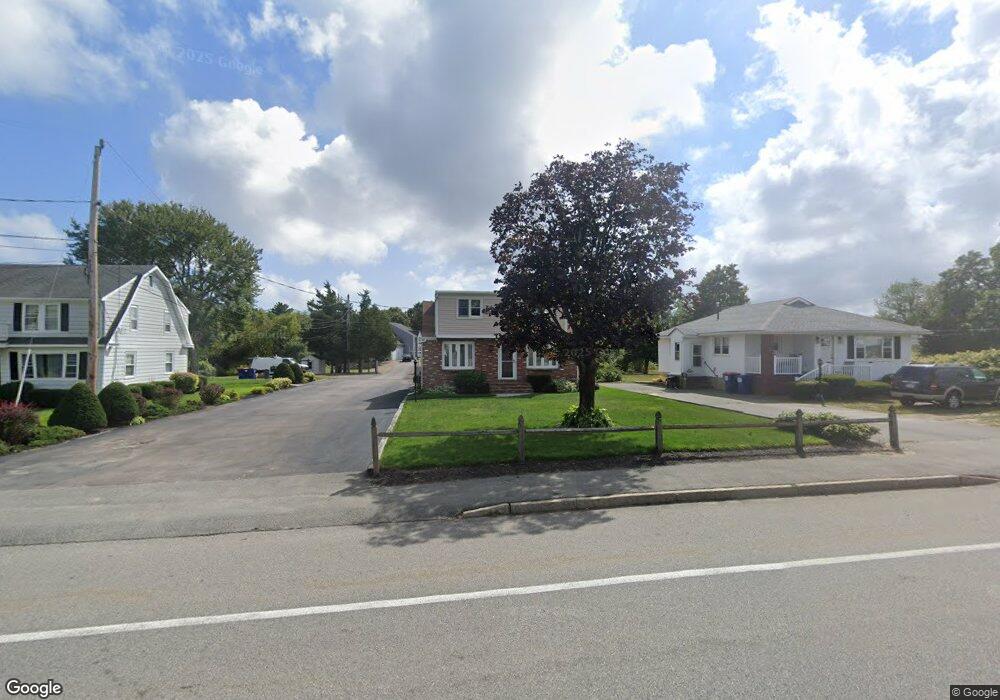
2681 Cranberry Hwy Wareham, MA 02571
Estimated Value: $392,000 - $425,000
2
Beds
1
Bath
2,700
Sq Ft
$154/Sq Ft
Est. Value
About This Home
This home is located at 2681 Cranberry Hwy, Wareham, MA 02571 and is currently estimated at $415,051, approximately $153 per square foot. 2681 Cranberry Hwy is a home located in Plymouth County.
Ownership History
Date
Name
Owned For
Owner Type
Purchase Details
Closed on
May 30, 2024
Sold by
Goldstein Arlene E
Bought by
Arlene Goldstein Ft and Goldstein
Current Estimated Value
Purchase Details
Closed on
Sep 24, 2014
Sold by
Goldstein Arlene E
Bought by
Goldstein Arlene E
Create a Home Valuation Report for This Property
The Home Valuation Report is an in-depth analysis detailing your home's value as well as a comparison with similar homes in the area
Home Values in the Area
Average Home Value in this Area
Purchase History
| Date | Buyer | Sale Price | Title Company |
|---|---|---|---|
| Arlene Goldstein Ft | -- | None Available | |
| Arlene Goldstein Ft | -- | None Available | |
| Arlene Goldstein Ft | -- | None Available | |
| Goldstein Arlene E | -- | -- | |
| Goldstein Arlene E | -- | -- |
Source: Public Records
Mortgage History
| Date | Status | Borrower | Loan Amount |
|---|---|---|---|
| Previous Owner | Goldstein Arlene E | $390,000 | |
| Previous Owner | Goldstein Arlene E | $35,000 |
Source: Public Records
Tax History Compared to Growth
Tax History
| Year | Tax Paid | Tax Assessment Tax Assessment Total Assessment is a certain percentage of the fair market value that is determined by local assessors to be the total taxable value of land and additions on the property. | Land | Improvement |
|---|---|---|---|---|
| 2025 | $3,622 | $347,600 | $94,300 | $253,300 |
| 2024 | $3,549 | $316,000 | $72,300 | $243,700 |
| 2023 | $3,384 | $281,300 | $65,700 | $215,600 |
| 2022 | $3,165 | $240,100 | $65,700 | $174,400 |
| 2021 | $3,131 | $232,800 | $65,700 | $167,100 |
| 2020 | $2,990 | $225,500 | $65,700 | $159,800 |
| 2019 | $2,619 | $197,100 | $59,400 | $137,700 |
| 2018 | $2,414 | $177,100 | $59,400 | $117,700 |
| 2017 | $2,315 | $172,100 | $59,400 | $112,700 |
| 2016 | $2,185 | $161,500 | $56,300 | $105,200 |
| 2015 | $2,111 | $161,500 | $56,300 | $105,200 |
| 2014 | $1,853 | $144,200 | $53,400 | $90,800 |
Source: Public Records
Map
Nearby Homes
- 125 Jeffreys Path
- 2731 Cranberry Hwy
- 6 Back St
- 13 Cherry St
- 50 Avenue A St
- 24 Kimberly Ct
- 110 Mayflower Ridge Dr
- 2596 Cranberry Hwy
- 6 Gilbert Way
- 2783 Cranberry Hwy
- 5 Oak Hill Rd
- 425 Main St Unit E
- 437 Main St
- 51 Minot Ave Unit 1
- 12 Linwood Ave
- 3 Cedar St
- 39 Highland Rd
- 10 Nimrod Way
- 2838 Cranberry Hwy
- 124 Minot Ave Unit 1
- 2683 Cranberry Hwy
- 2683 Cranberry Hwy
- 2677 Cranberry Hwy
- 2673 Cranberry Hwy
- 2688 Cranberry Hwy
- 2703 Cranberry Hwy
- 2667 Cranberry Hwy Unit C-1
- 2667 Cranberry Hwy Unit Metal Bldg
- 2667 Cranberry Hwy
- 2667 Cranberry Hwy Unit 10
- 2667 Cranberry Hwy Unit 1
- 2667 Cranberry Hwy Unit 2
- 2667 Cranberry Hwy Unit 7
- 2667 Cranberry Hwy Unit 5
- 2667 Cranberry Hwy Unit 6
- 2667 Cranberry Hwy Unit 8
- 2667 Cranberry Hwy Unit 4
- 2669 Cranberry Hwy
- 2679 Cranberry Hwy
- 2679 Cranberry Hwy