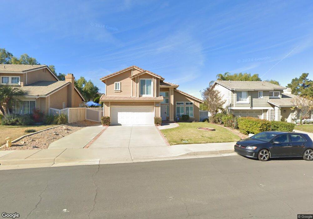
26879 Lightfoot Dr Corona, CA 92883
Horsethief Canyon Ranch NeighborhoodEstimated Value: $587,494 - $643,000
3
Beds
3
Baths
1,439
Sq Ft
$429/Sq Ft
Est. Value
About This Home
This home is located at 26879 Lightfoot Dr, Corona, CA 92883 and is currently estimated at $616,874, approximately $428 per square foot. 26879 Lightfoot Dr is a home located in Riverside County with nearby schools including Luiseno School and Temescal Canyon High School.
Ownership History
Date
Name
Owned For
Owner Type
Purchase Details
Closed on
Sep 13, 2002
Sold by
Demarco Deneen L and Demarco Deneen
Bought by
Demarco Deneen L
Current Estimated Value
Home Financials for this Owner
Home Financials are based on the most recent Mortgage that was taken out on this home.
Original Mortgage
$135,000
Outstanding Balance
$56,394
Interest Rate
6.24%
Mortgage Type
Purchase Money Mortgage
Estimated Equity
$560,480
Purchase Details
Closed on
Mar 13, 1996
Sold by
Federal National Mortgage Association
Bought by
Demarco Deneen
Home Financials for this Owner
Home Financials are based on the most recent Mortgage that was taken out on this home.
Original Mortgage
$106,600
Interest Rate
7.41%
Mortgage Type
Seller Take Back
Create a Home Valuation Report for This Property
The Home Valuation Report is an in-depth analysis detailing your home's value as well as a comparison with similar homes in the area
Home Values in the Area
Average Home Value in this Area
Purchase History
| Date | Buyer | Sale Price | Title Company |
|---|---|---|---|
| Demarco Deneen L | -- | Lawyers Title | |
| Demarco Deneen | $110,000 | First American Title Ins Co |
Source: Public Records
Mortgage History
| Date | Status | Borrower | Loan Amount |
|---|---|---|---|
| Open | Demarco Deneen L | $135,000 | |
| Closed | Demarco Deneen | $106,600 |
Source: Public Records
Tax History Compared to Growth
Tax History
| Year | Tax Paid | Tax Assessment Tax Assessment Total Assessment is a certain percentage of the fair market value that is determined by local assessors to be the total taxable value of land and additions on the property. | Land | Improvement |
|---|---|---|---|---|
| 2025 | $1,829 | $182,531 | $66,426 | $116,105 |
| 2023 | $1,829 | $175,446 | $63,848 | $111,598 |
| 2022 | $1,767 | $172,007 | $62,597 | $109,410 |
| 2021 | $1,732 | $168,635 | $61,370 | $107,265 |
| 2020 | $1,713 | $166,907 | $60,741 | $106,166 |
| 2019 | $1,679 | $163,635 | $59,550 | $104,085 |
| 2018 | $1,645 | $160,428 | $58,383 | $102,045 |
| 2017 | $1,613 | $157,284 | $57,239 | $100,045 |
Source: Public Records
Map
Nearby Homes
- 13374 Crystal Springs Dr
- 26819 Colt Dr
- 26831 Eagle Run St
- 13492 Palomino Creek Dr
- 26693 Spotted Pony Dr
- 13057 Fescue Ct
- 27051 Featherhill Dr
- 13021 Broken Bit Cir
- 27174 Denali Ct
- 27222 Denali Ct
- 12838 Olympus Cir
- 27234 Denali Ct
- 27089 Adelanto Dr
- 12816 Fuji Cir
- 12777 Olympus Cir
- 12767 Olympus Cir
- 12793 Fuji Cir
- 12769 Fuji Cir
- 27460 Eagles Nest Dr
- 27125 Arrow Point Trail
- 26887 Lightfoot Dr
- 26871 Lightfoot Dr
- 26895 Lightfoot Dr
- 13312 Crystal Springs Dr
- 13327 Crystal Springs Dr
- 26903 Lightfoot Dr
- 13320 Crystal Springs Dr
- 26892 Lightfoot Dr
- 13314 Green Mountain Dr
- 13335 Crystal Springs Dr
- 13328 Crystal Springs Dr
- 26911 Lightfoot Dr
- 13322 Green Mountain Dr
- 13336 Crystal Springs Dr
- 13309 Cloudburst Dr
- 13343 Crystal Springs Dr
- 13317 Cloudburst Dr
- 13246 Lone Stallion Ln
- 13325 Cloudburst Dr
- 13241 Spur Branch Cir