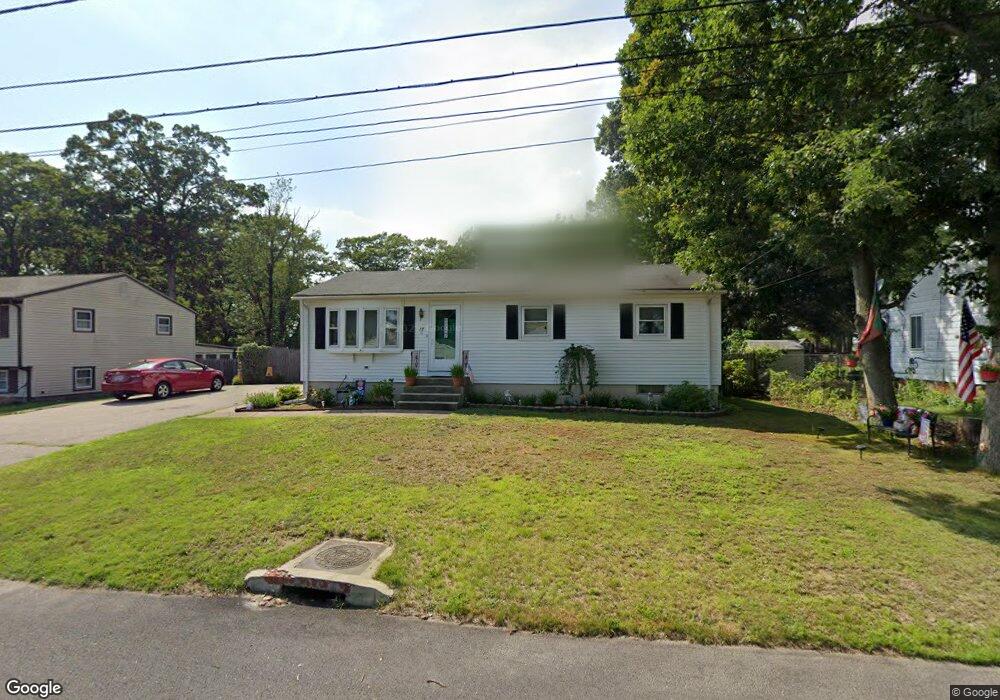
27 Burgess Dr Warwick, RI 02886
Hillsgrove NeighborhoodEstimated Value: $364,351 - $394,000
3
Beds
1
Bath
1,008
Sq Ft
$375/Sq Ft
Est. Value
About This Home
This home is located at 27 Burgess Dr, Warwick, RI 02886 and is currently estimated at $378,088, approximately $375 per square foot. 27 Burgess Dr is a home located in Kent County with nearby schools including St Rose Of Lima School.
Ownership History
Date
Name
Owned For
Owner Type
Purchase Details
Closed on
Jul 16, 1991
Sold by
Spinard Barbara A
Bought by
Santos Helena M
Current Estimated Value
Home Financials for this Owner
Home Financials are based on the most recent Mortgage that was taken out on this home.
Original Mortgage
$89,268
Interest Rate
9.35%
Mortgage Type
Purchase Money Mortgage
Create a Home Valuation Report for This Property
The Home Valuation Report is an in-depth analysis detailing your home's value as well as a comparison with similar homes in the area
Home Values in the Area
Average Home Value in this Area
Purchase History
| Date | Buyer | Sale Price | Title Company |
|---|---|---|---|
| Santos Helena M | $92,000 | -- | |
| Santos Helena M | $92,000 | -- |
Source: Public Records
Mortgage History
| Date | Status | Borrower | Loan Amount |
|---|---|---|---|
| Open | Santos Helena M | $112,250 | |
| Closed | Santos Helena M | $17,903 | |
| Closed | Santos Helena M | $89,268 |
Source: Public Records
Tax History Compared to Growth
Tax History
| Year | Tax Paid | Tax Assessment Tax Assessment Total Assessment is a certain percentage of the fair market value that is determined by local assessors to be the total taxable value of land and additions on the property. | Land | Improvement |
|---|---|---|---|---|
| 2025 | $4,228 | $332,900 | $104,100 | $228,800 |
| 2024 | $3,903 | $269,700 | $90,500 | $179,200 |
| 2023 | $3,827 | $269,700 | $90,500 | $179,200 |
| 2022 | $3,615 | $193,000 | $59,100 | $133,900 |
| 2021 | $3,615 | $193,000 | $59,100 | $133,900 |
| 2020 | $3,615 | $193,000 | $59,100 | $133,900 |
| 2019 | $3,615 | $193,000 | $59,100 | $133,900 |
| 2018 | $3,016 | $145,000 | $55,800 | $89,200 |
| 2017 | $2,935 | $145,000 | $55,800 | $89,200 |
| 2016 | $2,935 | $145,000 | $55,800 | $89,200 |
| 2015 | $2,828 | $136,300 | $58,500 | $77,800 |
| 2014 | $2,734 | $136,300 | $58,500 | $77,800 |
| 2013 | $2,697 | $136,300 | $58,500 | $77,800 |
Source: Public Records
Map
Nearby Homes
- 185 Brentwood Ave
- 38 Parade Rd
- 38 Red Maple Ln
- 64 Ormsby Ave
- 53 Uphill Ave
- 28 Liverpool St
- 62 Red Maple Ln
- 106 Palace Ave
- 74 Stephens Ave
- 121 Hamilton Ave
- 3 Grant St
- 137 Dickens St
- 224 Palace Ave
- 79 Carpenter St
- 170 Calderwood Dr
- 16 Arrow Ave
- 70 Turner St Unit C-6
- 37 George Arden Ave
- 71 Macarthur Dr
- 95 Kerri Lyn Rd
- 33 Burgess Dr
- 19 Burgess Dr
- 28 Burgess Dr
- 15 Burgess Dr
- 20 Burgess Dr
- 16 Carney Rd
- 42 Burgess Dr
- 51 Burgess Dr
- 10 Burgess Dr
- 33 Carney Rd
- 45 Adrian St
- 48 Burgess Dr
- 53 Adrian St
- 35 Adrian St
- 442 Strawberry Field Rd
- 436 Strawberry Field Rd
- 61 Adrian St
- 426 Strawberry Field Rd
- 56 Burgess Dr
- 25 Adrian St