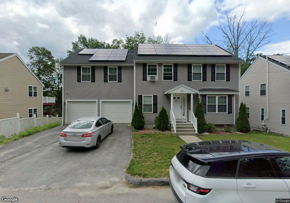
27 Drexel St Unit 29 Worcester, MA 01602
West Tatnuck NeighborhoodEstimated Value: $607,000 - $680,000
4
Beds
6
Baths
2,098
Sq Ft
$301/Sq Ft
Est. Value
About This Home
This home is located at 27 Drexel St Unit 29, Worcester, MA 01602 and is currently estimated at $632,284, approximately $301 per square foot. 27 Drexel St Unit 29 is a home located in Worcester County with nearby schools including Tatnuck Magnet School, Chandler Magnet, and Jacob Hiatt Magnet School.
Ownership History
Date
Name
Owned For
Owner Type
Purchase Details
Closed on
Apr 30, 2019
Sold by
Nu Yankee Llc
Bought by
Krayem Nadeen and Krayem Nour
Current Estimated Value
Home Financials for this Owner
Home Financials are based on the most recent Mortgage that was taken out on this home.
Original Mortgage
$365,750
Outstanding Balance
$321,568
Interest Rate
4.2%
Mortgage Type
New Conventional
Estimated Equity
$310,716
Purchase Details
Closed on
Apr 13, 2012
Sold by
Plaudo Llc
Bought by
Nu Yankee Llc
Purchase Details
Closed on
May 19, 2005
Sold by
Zamarro Amoret
Bought by
Plaudo Llc
Create a Home Valuation Report for This Property
The Home Valuation Report is an in-depth analysis detailing your home's value as well as a comparison with similar homes in the area
Home Values in the Area
Average Home Value in this Area
Purchase History
| Date | Buyer | Sale Price | Title Company |
|---|---|---|---|
| Krayem Nadeen | $385,000 | -- | |
| Nu Yankee Llc | $40,000 | -- | |
| Plaudo Llc | $57,500 | -- |
Source: Public Records
Mortgage History
| Date | Status | Borrower | Loan Amount |
|---|---|---|---|
| Open | Krayem Nadeen | $365,750 |
Source: Public Records
Tax History Compared to Growth
Tax History
| Year | Tax Paid | Tax Assessment Tax Assessment Total Assessment is a certain percentage of the fair market value that is determined by local assessors to be the total taxable value of land and additions on the property. | Land | Improvement |
|---|---|---|---|---|
| 2025 | $7,599 | $576,100 | $119,300 | $456,800 |
| 2024 | $7,400 | $538,200 | $119,300 | $418,900 |
| 2023 | $7,213 | $503,000 | $103,700 | $399,300 |
| 2022 | $6,717 | $441,600 | $83,000 | $358,600 |
| 2021 | $6,720 | $412,800 | $66,400 | $346,400 |
| 2020 | $6,474 | $380,800 | $66,300 | $314,500 |
| 2019 | $6,500 | $361,100 | $59,900 | $301,200 |
| 2018 | $6,422 | $339,600 | $59,900 | $279,700 |
| 2017 | $6,143 | $319,600 | $59,900 | $259,700 |
| 2016 | $6,381 | $309,600 | $45,300 | $264,300 |
| 2015 | $3,291 | $164,000 | $45,300 | $118,700 |
| 2014 | $885 | $45,300 | $45,300 | $0 |
Source: Public Records
Map
Nearby Homes
- 12 Copperfield Rd
- 1029 Pleasant St Unit 19
- 148A Tory Fort Ln
- 40 Rustic Dr
- 9 Newburn Rd
- 155 Tory Fort Ln
- 5 Forest Hill Dr
- 12 Pinebrook Ln
- 15 Wildrose Ave
- 20 Manhattan Rd
- 563 Chandler St
- 3 Carter Way
- 10 Joppa Rd
- 47R Yarnie Unit 3B
- 47R Yarnie Unit 3A
- 47R Yarnie Unit 1B
- 47R Yarnie Unit 2B
- 47R Yarnie Unit 4B
- 47R Yarnie Unit 8B
- 47R Yarnie Unit 5A