27 Gates Dr Sheridan, AR 72150
Estimated Value: $123,723 - $199,000
--
Bed
1
Bath
1,352
Sq Ft
$126/Sq Ft
Est. Value
About This Home
This home is located at 27 Gates Dr, Sheridan, AR 72150 and is currently estimated at $169,681, approximately $125 per square foot. 27 Gates Dr is a home located in Grant County with nearby schools including Sheridan High School.
Ownership History
Date
Name
Owned For
Owner Type
Purchase Details
Closed on
Sep 20, 2007
Sold by
Buie Funeral Home Inc
Bought by
Crouse & Webb Enterprises Llc
Current Estimated Value
Home Financials for this Owner
Home Financials are based on the most recent Mortgage that was taken out on this home.
Original Mortgage
$90,000
Interest Rate
6.55%
Mortgage Type
Future Advance Clause Open End Mortgage
Purchase Details
Closed on
Jul 18, 2002
Bought by
Buie
Purchase Details
Closed on
Jan 8, 2002
Bought by
Parks
Create a Home Valuation Report for This Property
The Home Valuation Report is an in-depth analysis detailing your home's value as well as a comparison with similar homes in the area
Home Values in the Area
Average Home Value in this Area
Purchase History
| Date | Buyer | Sale Price | Title Company |
|---|---|---|---|
| Crouse & Webb Enterprises Llc | $90,000 | Professional Land Title Comp | |
| Buie | $85,000 | -- | |
| Parks | $73,000 | -- |
Source: Public Records
Mortgage History
| Date | Status | Borrower | Loan Amount |
|---|---|---|---|
| Closed | Crouse & Webb Enterprises Llc | $90,000 |
Source: Public Records
Tax History Compared to Growth
Tax History
| Year | Tax Paid | Tax Assessment Tax Assessment Total Assessment is a certain percentage of the fair market value that is determined by local assessors to be the total taxable value of land and additions on the property. | Land | Improvement |
|---|---|---|---|---|
| 2025 | $1,300 | $32,430 | $7,130 | $25,300 |
| 2024 | $1,083 | $24,060 | $4,310 | $19,750 |
| 2023 | $1,083 | $24,060 | $4,310 | $19,750 |
| 2022 | $1,083 | $24,060 | $4,310 | $19,750 |
| 2021 | $1,053 | $24,060 | $4,310 | $19,750 |
| 2020 | $957 | $21,260 | $5,040 | $16,220 |
| 2019 | $957 | $21,260 | $5,040 | $16,220 |
| 2018 | $957 | $21,260 | $5,040 | $16,220 |
| 2017 | $957 | $21,260 | $5,040 | $16,220 |
| 2015 | -- | $21,260 | $5,040 | $16,220 |
| 2014 | -- | $21,260 | $5,040 | $16,220 |
| 2012 | -- | $21,260 | $5,040 | $16,220 |
Source: Public Records
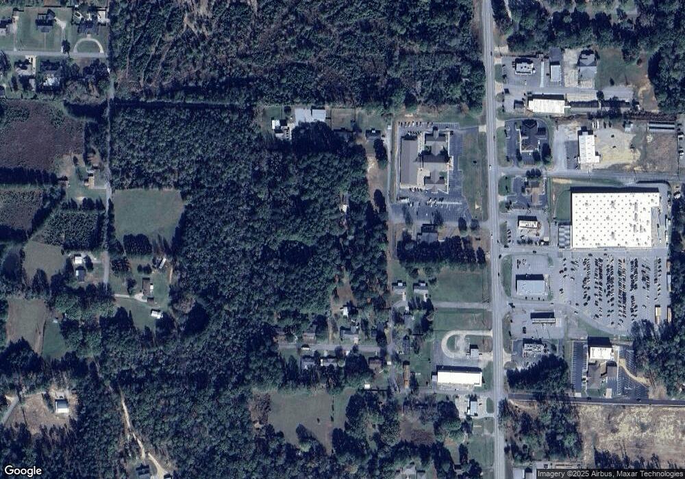
Map
Nearby Homes
- 904 Grant 9
- 534 Shackleford Rd
- 27 Carolyn Rd
- 00 Grant County 9
- 0 Gary
- 507 Gary Ln
- 25 Leif Tyler Dr
- 0 Freda Lane (South Lot)
- 700 Shannon Ln
- 0 Freda Lane (North Lot)
- 39 Valley Ct
- 303 Fiser Dr
- 610 S Rock St
- 38 Valley Ct
- 0 Grant 9 Unit 25044833
- 1005 Kari Dr
- 915 Jones Dr
- 1105 S Rose St
- 50 Toler St
- 407 E Holly St
- 10 Johnson Ln
- 0 Johnson Ln Unit 17026220
- 0 Johnson Ln Unit 10371110
- 0 Johnson Ln Unit 20024087
- 0 Johnson Ln Unit 18025527
- 0 Johnson Ln Unit 19015666
- 6 Johnson Ln
- 2 Johnson Ln
- 116 Janie Dr
- 112 Janie Dr
- 1115 S Rock St
- 206 Hazelwood Dr
- 200 Hazelwood Dr
- 214 Hazelwood Dr
- 0 Sylvia Dr
- 1402 Sylvia Dr
- 220 Hazelwood Dr
- 1408 Sylvia Dr
- 1160 S Rock St
- 0 Hazelwood Dr