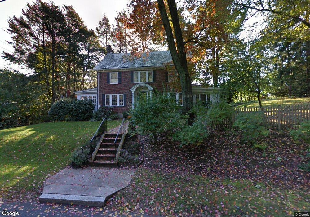
27 Howland Rd West Newton, MA 02465
West Newton NeighborhoodEstimated Value: $2,362,176 - $2,904,000
4
Beds
4
Baths
3,106
Sq Ft
$844/Sq Ft
Est. Value
About This Home
This home is located at 27 Howland Rd, West Newton, MA 02465 and is currently estimated at $2,622,294, approximately $844 per square foot. 27 Howland Rd is a home located in Middlesex County with nearby schools including Peirce Elementary School, F.A. Day Middle School, and Newton North High School.
Ownership History
Date
Name
Owned For
Owner Type
Purchase Details
Closed on
Jul 25, 2008
Sold by
Kelley Kirsten D and Kelley Robert M
Bought by
Caperna Lisa and Riordan Patrick Brian
Current Estimated Value
Purchase Details
Closed on
Jul 30, 2004
Sold by
Lockwood Joyce and Lockwood Lee
Bought by
Kelley Kirsten D and Kelley Robert M
Create a Home Valuation Report for This Property
The Home Valuation Report is an in-depth analysis detailing your home's value as well as a comparison with similar homes in the area
Home Values in the Area
Average Home Value in this Area
Purchase History
| Date | Buyer | Sale Price | Title Company |
|---|---|---|---|
| Caperna Lisa | $1,450,000 | -- | |
| Kelley Kirsten D | $1,250,000 | -- |
Source: Public Records
Tax History Compared to Growth
Tax History
| Year | Tax Paid | Tax Assessment Tax Assessment Total Assessment is a certain percentage of the fair market value that is determined by local assessors to be the total taxable value of land and additions on the property. | Land | Improvement |
|---|---|---|---|---|
| 2025 | $22,832 | $2,329,800 | $1,342,500 | $987,300 |
| 2024 | $22,076 | $2,261,900 | $1,303,400 | $958,500 |
| 2023 | $21,121 | $2,074,800 | $1,020,700 | $1,054,100 |
| 2022 | $20,210 | $1,921,100 | $945,100 | $976,000 |
| 2021 | $5,288 | $1,812,400 | $891,600 | $920,800 |
| 2020 | $5,122 | $1,812,400 | $891,600 | $920,800 |
| 2019 | $18,388 | $1,759,600 | $865,600 | $894,000 |
| 2018 | $4,708 | $1,628,100 | $780,600 | $847,500 |
| 2017 | $17,079 | $1,535,900 | $736,400 | $799,500 |
| 2016 | $15,678 | $1,377,700 | $688,200 | $689,500 |
| 2015 | $14,949 | $1,287,600 | $643,200 | $644,400 |
Source: Public Records
Map
Nearby Homes
- 39 Valentine Park
- 308 Prince St
- 18 Sewall St
- 40 Sewall St
- 10 Ruane Rd
- 61 Lakeview Ave
- 318 Austin St Unit A
- 1640 Commonwealth Ave
- 1430 Beacon St
- 25 Allen Ave
- 123 Mount Vernon St Unit 2
- 123-125 Mount Vernon St
- 29 Montclair Rd
- 12 Wiswall St
- 115 Windsor Rd
- 4 Wiswall St
- 27 Cross St Unit 27
- 80 Pine Ridge Rd
- 0 Duncan Rd Unit 72925240
- 1639 Washington St