27 Park Rd Sunderland, MA 01375
Estimated Value: $738,000 - $973,000
4
Beds
3
Baths
3,531
Sq Ft
$240/Sq Ft
Est. Value
About This Home
This home is located at 27 Park Rd, Sunderland, MA 01375 and is currently estimated at $845,960, approximately $239 per square foot. 27 Park Rd is a home located in Franklin County with nearby schools including Sunderland Elementary School and Frontier Regional School.
Create a Home Valuation Report for This Property
The Home Valuation Report is an in-depth analysis detailing your home's value as well as a comparison with similar homes in the area
Home Values in the Area
Average Home Value in this Area
Tax History Compared to Growth
Tax History
| Year | Tax Paid | Tax Assessment Tax Assessment Total Assessment is a certain percentage of the fair market value that is determined by local assessors to be the total taxable value of land and additions on the property. | Land | Improvement |
|---|---|---|---|---|
| 2025 | $107 | $823,500 | $154,500 | $669,000 |
| 2024 | $10,821 | $823,500 | $154,500 | $669,000 |
| 2023 | $9,839 | $768,700 | $129,700 | $639,000 |
| 2022 | $9,995 | $679,900 | $111,600 | $568,300 |
| 2021 | $9,458 | $610,600 | $104,300 | $506,300 |
| 2020 | $9,418 | $610,000 | $104,300 | $505,700 |
| 2019 | $7,905 | $595,200 | $101,100 | $494,100 |
| 2018 | $0 | $562,300 | $97,600 | $464,700 |
| 2017 | $8,131 | $567,000 | $100,000 | $467,000 |
| 2016 | $8,432 | $575,200 | $105,400 | $469,800 |
| 2015 | $8,204 | $573,300 | $105,400 | $467,900 |
| 2014 | $8,015 | $573,300 | $105,400 | $467,900 |
Source: Public Records
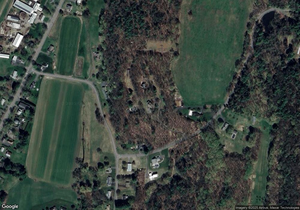
Map
Nearby Homes
- 238 N Main St
- 110 Old Amherst Rd
- 146 Old Amherst Rd
- 134 Montague Rd
- Lot C Mountain Rd
- Lot A Mountain Rd
- Lot B Mountain Rd
- 15 Crestview Dr
- 40 Eastern Ave
- 24 Graves St
- 7 Stage Rd
- 0 Pocumtuck Dr Unit 73379330
- 13 Capt Lathrop Dr
- 24 Elm St
- 208 Greenfield Rd
- 259 Long Plain Rd
- 15 S Plain Rd
- 73 Depot Rd
- 32 Swamp Rd
- 345 Greenfield Rd