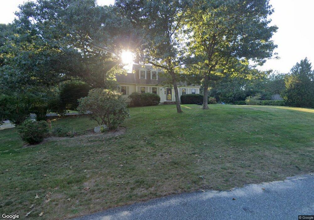
27 Sheltered Hollow Ln Yarmouth Port, MA 02675
Yarmouth Port NeighborhoodEstimated Value: $805,000 - $1,049,000
4
Beds
3
Baths
1,801
Sq Ft
$509/Sq Ft
Est. Value
About This Home
This home is located at 27 Sheltered Hollow Ln, Yarmouth Port, MA 02675 and is currently estimated at $916,772, approximately $509 per square foot. 27 Sheltered Hollow Ln is a home located in Barnstable County with nearby schools including Dennis-Yarmouth Regional High School.
Ownership History
Date
Name
Owned For
Owner Type
Purchase Details
Closed on
May 30, 2001
Sold by
Roman John W and Roman Margaret J
Bought by
Burrell Michael J and Burrell Daria K
Current Estimated Value
Purchase Details
Closed on
Nov 27, 1989
Sold by
Moore Laurene P
Bought by
Roman John W
Create a Home Valuation Report for This Property
The Home Valuation Report is an in-depth analysis detailing your home's value as well as a comparison with similar homes in the area
Home Values in the Area
Average Home Value in this Area
Purchase History
| Date | Buyer | Sale Price | Title Company |
|---|---|---|---|
| Burrell Michael J | $305,000 | -- | |
| Roman John W | $199,900 | -- |
Source: Public Records
Mortgage History
| Date | Status | Borrower | Loan Amount |
|---|---|---|---|
| Open | Roman John W | $100,000 | |
| Closed | Roman John W | $156,909 |
Source: Public Records
Tax History Compared to Growth
Tax History
| Year | Tax Paid | Tax Assessment Tax Assessment Total Assessment is a certain percentage of the fair market value that is determined by local assessors to be the total taxable value of land and additions on the property. | Land | Improvement |
|---|---|---|---|---|
| 2025 | $6,058 | $855,700 | $286,200 | $569,500 |
| 2024 | $5,615 | $760,800 | $249,200 | $511,600 |
| 2023 | $5,649 | $696,600 | $210,000 | $486,600 |
| 2022 | $5,249 | $571,800 | $188,100 | $383,700 |
| 2021 | $4,803 | $502,400 | $188,100 | $314,300 |
| 2020 | $4,793 | $479,300 | $185,500 | $293,800 |
| 2019 | $4,607 | $456,100 | $185,500 | $270,600 |
| 2018 | $4,581 | $445,200 | $174,600 | $270,600 |
| 2017 | $4,461 | $445,200 | $174,600 | $270,600 |
| 2016 | $4,443 | $445,200 | $174,600 | $270,600 |
| 2015 | $4,548 | $453,000 | $174,600 | $278,400 |
Source: Public Records
Map
Nearby Homes
- 42 John Hall Cartway Unit 42
- 50 John Hall Cartway
- 50 John Hall Cartway Unit 50
- 64 Kates Path
- 228 Kates Path
- 17 Kates Path Unit A
- 34 Kates Path
- 34 Kates Path Unit 34
- 51 Bray Farm Rd N
- 44 Stratford Ln
- 43 Canterbury Rd
- 7 Forest Gate Unit 7
- 30 W Woods
- 30 W Woods Cir Unit 30
- 25 Oak Glen Village Unit 25
- 25 Oak Glen
- 2 Pine Grove
- 59 Main St Unit 19-2
- 59 Route 6a Unit 29-4
- 86 Pompano Rd
- 17 Sheltered Hollow Ln
- 35 Sheltered Hollow Ln
- 27 Sheltered Hollow128
- 37 Liverpool Dr
- 12 Sheltered Hollow Ln
- 26 John Hall Cartway
- 24 John Hall Cartway
- 22 John Hall Cartway
- 24 John Hall Cartway Unit 24
- 24 John Hall Cartway Unit G
- 22 John Hall Cartpath Unit D
- 22 John Hall Cartway Unit D
- 26 John Hall Cartway Unit G
- 34 John Hall Cartway
- 32 John Hall Cartway
- 30 John Hall Cartway
- 32 John Hall Cartway Unit G
- 42 Liverpool Dr
- 20 John Hall Cartway
- 18 John Hall Cartway