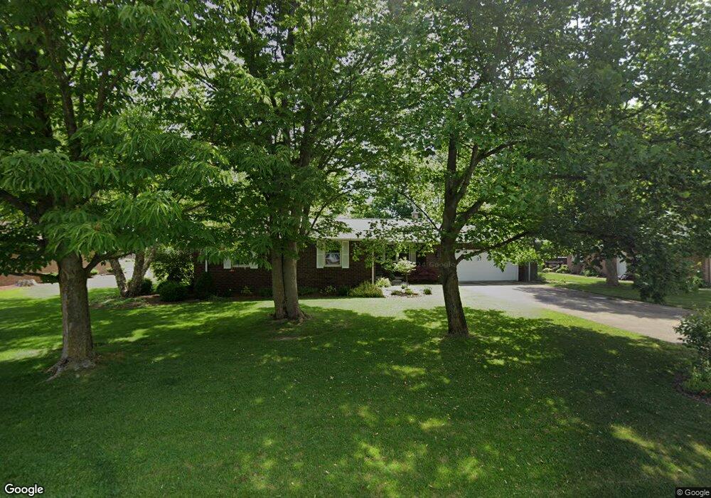
27 Westwood Dr Fremont, OH 43420
Estimated Value: $214,000 - $252,000
2
Beds
2
Baths
1,926
Sq Ft
$124/Sq Ft
Est. Value
About This Home
This home is located at 27 Westwood Dr, Fremont, OH 43420 and is currently estimated at $238,913, approximately $124 per square foot. 27 Westwood Dr is a home located in Sandusky County with nearby schools including Fremont Ross High School, St. Joseph School, and St. Ann Catholic School.
Ownership History
Date
Name
Owned For
Owner Type
Purchase Details
Closed on
Mar 3, 1998
Sold by
Snider James B
Bought by
Havice Scott A and Havice Kelly T
Current Estimated Value
Home Financials for this Owner
Home Financials are based on the most recent Mortgage that was taken out on this home.
Original Mortgage
$114,950
Outstanding Balance
$20,899
Interest Rate
6.95%
Mortgage Type
New Conventional
Estimated Equity
$218,014
Create a Home Valuation Report for This Property
The Home Valuation Report is an in-depth analysis detailing your home's value as well as a comparison with similar homes in the area
Home Values in the Area
Average Home Value in this Area
Purchase History
| Date | Buyer | Sale Price | Title Company |
|---|---|---|---|
| Havice Scott A | $121,000 | -- |
Source: Public Records
Mortgage History
| Date | Status | Borrower | Loan Amount |
|---|---|---|---|
| Open | Havice Scott A | $114,950 |
Source: Public Records
Tax History Compared to Growth
Tax History
| Year | Tax Paid | Tax Assessment Tax Assessment Total Assessment is a certain percentage of the fair market value that is determined by local assessors to be the total taxable value of land and additions on the property. | Land | Improvement |
|---|---|---|---|---|
| 2024 | $2,524 | $64,960 | $12,110 | $52,850 |
| 2023 | $2,524 | $52,820 | $9,840 | $42,980 |
| 2022 | $2,192 | $52,820 | $9,840 | $42,980 |
| 2021 | $2,259 | $52,820 | $9,840 | $42,980 |
| 2020 | $2,145 | $49,180 | $9,840 | $39,340 |
| 2019 | $2,143 | $49,180 | $9,840 | $39,340 |
| 2018 | $2,085 | $49,180 | $9,840 | $39,340 |
| 2017 | $1,986 | $46,590 | $9,840 | $36,750 |
| 2016 | $1,741 | $46,590 | $9,840 | $36,750 |
| 2015 | $1,712 | $46,590 | $9,840 | $36,750 |
| 2014 | $1,800 | $46,910 | $9,630 | $37,280 |
| 2013 | $1,762 | $46,910 | $9,630 | $37,280 |
Source: Public Records
Map
Nearby Homes
- 2484 Buckland Ave
- 17 Adams Dr
- 2020 Elm Dr
- 822 Upton Rd
- 1719 Buckland Ave
- 614 3rd Ave
- 2242 Napoleon Rd
- 855 Rambo Ln
- 520 Everett Rd
- 515 Everett Rd
- 43 Sun Valley Dr Unit 43
- 880 Cleveland Ave
- 1485 Autumn Woods Dr
- 115 N Taft Ave
- 2119 Lake St
- 1611 Mcpherson Blvd
- 10 Meadowbrook Dr
- 10 Meadowbrook Ln
- 64 River Run Dr Unit J
- 64 River Run Dr