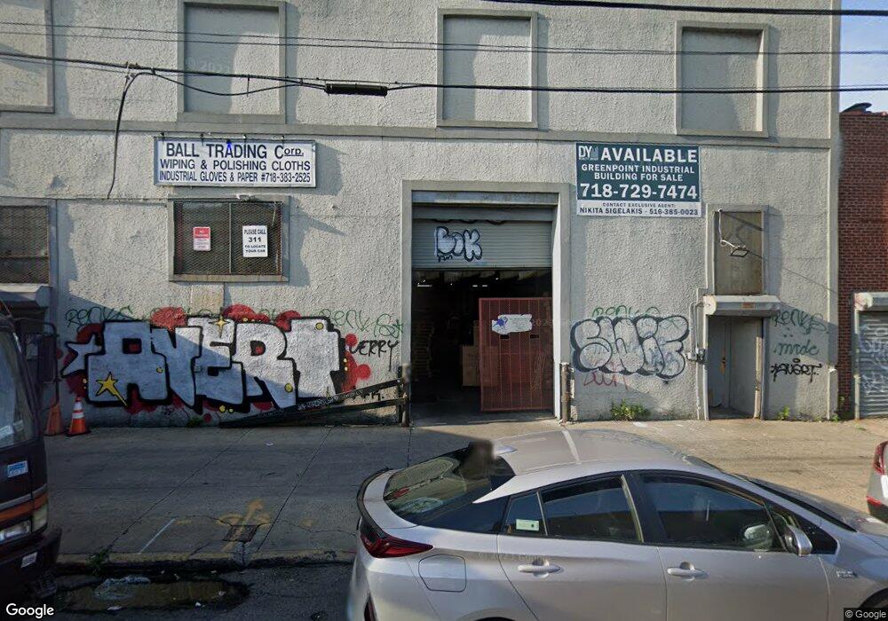
270 Freeman St Brooklyn, NY 11222
Greenpoint NeighborhoodEstimated Value: $6,892,847
--
Bed
--
Bath
18,910
Sq Ft
$365/Sq Ft
Est. Value
About This Home
This home is located at 270 Freeman St, Brooklyn, NY 11222 and is currently estimated at $6,892,847, approximately $364 per square foot. 270 Freeman St is a home located in Kings County with nearby schools including PS 31 Samuel F Dupont.
Ownership History
Date
Name
Owned For
Owner Type
Purchase Details
Closed on
Jan 13, 2023
Sold by
Leitco Corp
Bought by
Phreedom Llc
Current Estimated Value
Home Financials for this Owner
Home Financials are based on the most recent Mortgage that was taken out on this home.
Original Mortgage
$4,300,000
Outstanding Balance
$4,160,353
Interest Rate
6.33%
Mortgage Type
Purchase Money Mortgage
Estimated Equity
$2,732,494
Create a Home Valuation Report for This Property
The Home Valuation Report is an in-depth analysis detailing your home's value as well as a comparison with similar homes in the area
Home Values in the Area
Average Home Value in this Area
Purchase History
| Date | Buyer | Sale Price | Title Company |
|---|---|---|---|
| Phreedom Llc | $6,000,000 | -- |
Source: Public Records
Mortgage History
| Date | Status | Borrower | Loan Amount |
|---|---|---|---|
| Open | Phreedom Llc | $4,300,000 |
Source: Public Records
Tax History Compared to Growth
Tax History
| Year | Tax Paid | Tax Assessment Tax Assessment Total Assessment is a certain percentage of the fair market value that is determined by local assessors to be the total taxable value of land and additions on the property. | Land | Improvement |
|---|---|---|---|---|
| 2025 | $77,111 | $879,300 | $161,100 | $718,200 |
| 2024 | $77,111 | $829,350 | $161,100 | $668,250 |
| 2023 | $75,703 | $782,550 | $161,100 | $621,450 |
| 2022 | $74,493 | $715,050 | $161,100 | $553,950 |
| 2021 | $61,934 | $579,150 | $161,100 | $418,050 |
| 2020 | $30,967 | $733,950 | $161,100 | $572,850 |
| 2019 | $67,336 | $744,750 | $161,100 | $583,650 |
| 2018 | $61,015 | $690,300 | $161,100 | $529,200 |
| 2017 | $55,839 | $633,600 | $161,100 | $472,500 |
| 2016 | $52,608 | $576,000 | $161,100 | $414,900 |
| 2015 | $20,795 | $557,550 | $161,100 | $396,450 |
| 2014 | $20,795 | $444,150 | $161,100 | $283,050 |
Source: Public Records
Map
Nearby Homes
- 340 McGuinness Blvd
- 205 Freeman St Unit 2
- 190 Green St Unit 401
- 79 Clay St Unit 1-A
- 175 Huron St Unit 1
- 175 Huron St Unit 3A
- 175 Huron St Unit 2
- 1110 Manhattan Ave Unit 3
- 205 Java St Unit 6
- 169 Huron St
- 184 Huron St Unit 2B
- 44 Box St Unit 2C
- 199 Java St
- 160 India St Unit 1
- 132 Eagle St
- 153 Green St Unit 1-B
- 130 Huron St Unit 1
- 150 Java St Unit 2B
- 68 Commercial St Unit PH
- 78 Eagle St Unit 3
- 266 Freeman St
- 259-269 Green St
- 263-265 Freeman St
- 105 Provost St
- 251 Green St
- 259-261 Freeman St
- 249 Green St
- 248 Freeman St
- 262 Green St
- 243-245 Green St
- 255 Freeman St
- 245 Green St
- 238 Eagle St
- 242 Eagle St
- 244-250 Green St
- 252-254 Green St
- 246 Freeman St
- 230 Eagle St
- 245-251 Freeman St
- 233-241 Green St