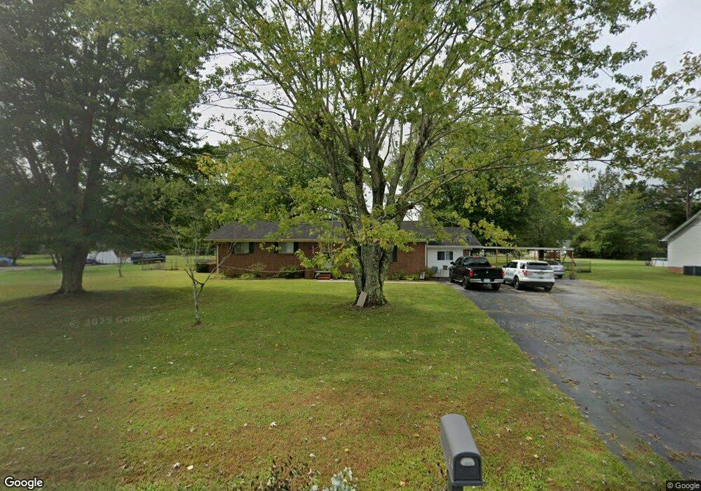
2706 Wayside Rd Manchester, TN 37355
Estimated Value: $244,714 - $328,000
--
Bed
1
Bath
1,773
Sq Ft
$162/Sq Ft
Est. Value
About This Home
This home is located at 2706 Wayside Rd, Manchester, TN 37355 and is currently estimated at $287,429, approximately $162 per square foot. 2706 Wayside Rd is a home located in Coffee County with nearby schools including East Coffee Elementary School, Coffee County Middle School, and Coffee County Central High School.
Ownership History
Date
Name
Owned For
Owner Type
Purchase Details
Closed on
Jul 8, 2011
Sold by
Mcdaniel Ricky Dale
Bought by
Delong Danielle
Current Estimated Value
Home Financials for this Owner
Home Financials are based on the most recent Mortgage that was taken out on this home.
Original Mortgage
$97,409
Outstanding Balance
$67,078
Interest Rate
4.53%
Mortgage Type
Commercial
Estimated Equity
$220,351
Purchase Details
Closed on
Jan 22, 2006
Bought by
Mcdaniel Richard
Create a Home Valuation Report for This Property
The Home Valuation Report is an in-depth analysis detailing your home's value as well as a comparison with similar homes in the area
Home Values in the Area
Average Home Value in this Area
Purchase History
| Date | Buyer | Sale Price | Title Company |
|---|---|---|---|
| Delong Danielle | $94,000 | -- | |
| Mcdaniel Richard | -- | -- |
Source: Public Records
Mortgage History
| Date | Status | Borrower | Loan Amount |
|---|---|---|---|
| Open | Delong Danielle | $97,409 |
Source: Public Records
Tax History Compared to Growth
Tax History
| Year | Tax Paid | Tax Assessment Tax Assessment Total Assessment is a certain percentage of the fair market value that is determined by local assessors to be the total taxable value of land and additions on the property. | Land | Improvement |
|---|---|---|---|---|
| 2024 | $811 | $34,800 | $3,750 | $31,050 |
| 2023 | $811 | $34,800 | $0 | $0 |
| 2022 | $811 | $34,800 | $3,750 | $31,050 |
| 2021 | $762 | $25,975 | $2,500 | $23,475 |
| 2020 | $762 | $25,975 | $2,500 | $23,475 |
| 2019 | $762 | $25,975 | $2,500 | $23,475 |
| 2018 | $762 | $25,975 | $2,500 | $23,475 |
| 2017 | $717 | $21,975 | $1,250 | $20,725 |
| 2016 | $717 | $21,975 | $1,250 | $20,725 |
| 2015 | $717 | $21,975 | $1,250 | $20,725 |
| 2014 | $717 | $21,977 | $0 | $0 |
Source: Public Records
Map
Nearby Homes
- 837 Circle Dr
- 781 Circle Dr
- 2635 Pete Sain Rd
- 670 Old McMinnville Hwy
- 4282 McMinnville Hwy Unit 4270
- 363 Willow Brook Dr
- 300 Willow Brook Dr
- 0 Pete Sain Rd
- 667 Pete Sain Rd
- 3313 McMinnville Hwy
- 1270 Taylor Rd
- 499 Ridgewood Dr
- 166 Keele Rd
- 2498 Sp Anderson Rd
- 621 Brandon Rd
- 7807 McMinnville Hwy Unit 7807
- 2315 Ragsdale Rd
- 493 Maple Springs Rd
- 106 Grandview Dr
- 304 W Lynn Dr
- 2676 Wayside Rd
- 2648 Wayside Rd
- 34 Circle Dr
- 12 Dale Dr
- 2685 Wayside Rd
- 156 Circle Dr
- 0 Circle Dr Unit 57 1875121
- 0 Circle Dr
- 0 Circle Dr Unit RTC1753849
- 0 Circle Dr Unit RTC1657582
- 0 Circle Dr Unit RTC1752764
- 0 Circle Dr Unit RTC1382279
- 0 Circle Dr Unit RTC1382281
- 70 Dale Dr
- 86 Circle Dr
- 2620 Wayside Rd
- 2627 Wayside Rd
- 57 Circle Dr
- 2590 Wayside Rd
- 151 Circle Dr