27197 Baker Dr Sturgis, MI 49091
Estimated Value: $533,000 - $641,000
--
Bed
1
Bath
2,002
Sq Ft
$294/Sq Ft
Est. Value
About This Home
This home is located at 27197 Baker Dr, Sturgis, MI 49091 and is currently estimated at $588,532, approximately $293 per square foot. 27197 Baker Dr is a home located in St. Joseph County with nearby schools including Sturgis High School, Lake Area Christian School, and St John's Lutheran School.
Ownership History
Date
Name
Owned For
Owner Type
Purchase Details
Closed on
Jun 27, 2003
Sold by
Hochstetler David L
Bought by
Parker Lavern and Parker Tracey
Current Estimated Value
Purchase Details
Closed on
Jun 20, 2003
Sold by
Hochstetler David L
Purchase Details
Closed on
Apr 1, 2003
Sold by
Hochstetler David L
Bought by
Arver Thomas W and Arver Jayne R
Purchase Details
Closed on
Aug 12, 2002
Sold by
Ankney Robert and Ankney Gwendolyn
Bought by
Hichstetler David L
Purchase Details
Closed on
May 23, 2001
Purchase Details
Closed on
May 13, 1985
Create a Home Valuation Report for This Property
The Home Valuation Report is an in-depth analysis detailing your home's value as well as a comparison with similar homes in the area
Home Values in the Area
Average Home Value in this Area
Purchase History
| Date | Buyer | Sale Price | Title Company |
|---|---|---|---|
| Parker Lavern | $110,000 | -- | |
| -- | -- | -- | |
| Arver Thomas W | $120,000 | -- | |
| Hichstetler David L | $99,000 | -- | |
| Hochstetler David L | $143,500 | -- | |
| -- | -- | -- | |
| -- | -- | -- |
Source: Public Records
Tax History Compared to Growth
Tax History
| Year | Tax Paid | Tax Assessment Tax Assessment Total Assessment is a certain percentage of the fair market value that is determined by local assessors to be the total taxable value of land and additions on the property. | Land | Improvement |
|---|---|---|---|---|
| 2025 | $6,338 | $344,900 | $69,200 | $275,700 |
| 2024 | $2,166 | $307,500 | $45,900 | $261,600 |
| 2023 | $2,064 | $242,100 | $45,900 | $196,200 |
| 2022 | $0 | $227,900 | $44,600 | $183,300 |
| 2021 | $3,746 | $200,500 | $44,600 | $155,900 |
| 2020 | $1,881 | $199,000 | $41,900 | $157,100 |
| 2019 | $1,846 | $194,300 | $34,900 | $159,400 |
| 2018 | $4,776 | $184,500 | $34,900 | $149,600 |
| 2017 | $4,805 | $184,200 | $184,200 | $0 |
| 2016 | -- | $176,400 | $176,400 | $0 |
| 2015 | -- | $166,200 | $0 | $0 |
| 2014 | -- | $162,800 | $162,800 | $0 |
| 2012 | -- | $161,200 | $161,200 | $0 |
Source: Public Records
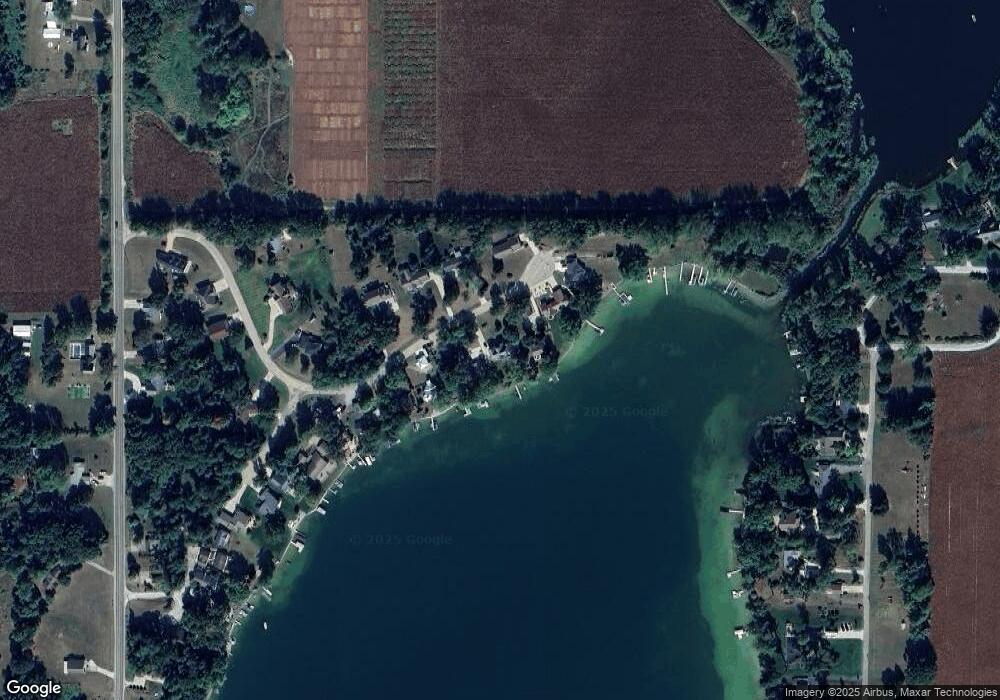
Map
Nearby Homes
- 66109 Hideaway Ln
- 27304 Oak Dr
- 66223 Grey Lake Rd
- 27810 Maystead Rd
- V/L White Pine Dr
- 28123 Timberly Dr
- 708 N Centerville Rd
- 28195 Blackberry Ln
- 1100 Sherwood Forrest Trail
- 814 N Lakeview Ave
- 0 V L M66- 102+ - Unit 24045986
- V/L Banker St
- 609 Sturgis St
- 805 N Nottawa St
- 612 N Prospect St
- 610 N Prospect St
- 67696 Thunderbird Dr
- 607 George St
- 502 E Jerolene St
- VL1 Ottokee Dr