272 Edward Farris Rd Weatherford, TX 76085
Estimated Value: $814,000
4
Beds
3
Baths
3,000
Sq Ft
$271/Sq Ft
Est. Value
About This Home
This home is located at 272 Edward Farris Rd, Weatherford, TX 76085 and is currently estimated at $814,000, approximately $271 per square foot. 272 Edward Farris Rd is a home located in Parker County with nearby schools including Silver Creek Elementary School, Azle Elementary School, and Azle Junior High School.
Ownership History
Date
Name
Owned For
Owner Type
Purchase Details
Closed on
Dec 17, 2011
Sold by
Gore Suzanne
Bought by
Mcnutt Vonda R
Current Estimated Value
Purchase Details
Closed on
Apr 28, 2009
Sold by
Smithey Steven S and Smithey Michelle Leah
Bought by
Spurgin Eddie B and Spurgin Karen J
Home Financials for this Owner
Home Financials are based on the most recent Mortgage that was taken out on this home.
Original Mortgage
$305,000
Interest Rate
5.03%
Mortgage Type
Commercial
Purchase Details
Closed on
Apr 15, 1997
Bought by
Spurgin Eddie B and Spurgin Karen
Purchase Details
Closed on
Jan 1, 1901
Bought by
Spurgin Eddie B and Spurgin Karen
Create a Home Valuation Report for This Property
The Home Valuation Report is an in-depth analysis detailing your home's value as well as a comparison with similar homes in the area
Home Values in the Area
Average Home Value in this Area
Purchase History
| Date | Buyer | Sale Price | Title Company |
|---|---|---|---|
| Mcnutt Vonda R | -- | None Available | |
| Spurgin Eddie B | -- | Fnt | |
| Spurgin Eddie B | -- | -- | |
| Spurgin Eddie B | -- | -- |
Source: Public Records
Mortgage History
| Date | Status | Borrower | Loan Amount |
|---|---|---|---|
| Previous Owner | Spurgin Eddie B | $305,000 |
Source: Public Records
Tax History Compared to Growth
Tax History
| Year | Tax Paid | Tax Assessment Tax Assessment Total Assessment is a certain percentage of the fair market value that is determined by local assessors to be the total taxable value of land and additions on the property. | Land | Improvement |
|---|---|---|---|---|
| 2025 | $3,011 | $726,424 | -- | -- |
| 2024 | $3,011 | $660,385 | -- | -- |
| 2023 | $3,011 | $600,350 | $0 | $0 |
| 2022 | $10,099 | $574,000 | $117,040 | $456,960 |
| 2021 | $9,619 | $574,000 | $117,040 | $456,960 |
| 2020 | $8,698 | $492,360 | $108,540 | $383,820 |
| 2019 | $8,381 | $492,360 | $108,540 | $383,820 |
| 2018 | $7,643 | $372,770 | $70,030 | $302,740 |
| 2017 | $7,283 | $372,770 | $70,030 | $302,740 |
| 2016 | $6,892 | $352,760 | $50,020 | $302,740 |
| 2015 | $2,394 | $352,760 | $50,020 | $302,740 |
| 2014 | $6,400 | $370,010 | $50,020 | $319,990 |
Source: Public Records
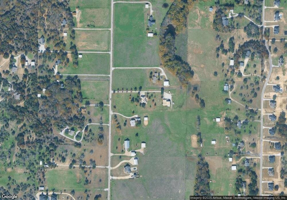
Map
Nearby Homes
- 100 Oak Meadow Ln
- 105 Ash Ln
- 341 Oak Meadow Ln
- 629 Bent Tree Ln
- The Wilder Plan at Brooks Meadow
- The Ryder Plan at Brooks Meadow
- The Curran Plan at Brooks Meadow
- The Bennett Plan at Brooks Meadow
- The Jackson Plan at Brooks Meadow
- The Hunter Plan at Brooks Meadow
- The Aylin Plan at Brooks Meadow
- The Wellington II Plan at Brooks Meadow
- 683 Bent Tree Ln
- The Greyson II Plan at Brooks Meadow
- 687 Bent Tree Ln
- 1057 Silver Sage Trail
- 1033 Silver Sage Trail
- 1046 Silver Sage Trail
- 1050 Silver Sage Trail
- 1024 Silver Sage Trail
- 284 Edward Farris Rd
- 260 Edward Farris Rd
- 248 Edward Farris Rd
- 261 Edward Farris Rd
- 236 Edward Farris Rd
- 310 Edward Farris Rd
- 249 Edward Farris Rd
- 273 Edward Farris Rd
- 285 Edward Farris Rd
- 451 Finney Dr
- 237 Edward Farris Rd
- 401 Finney Dr
- 309 Edward Farris Rd
- 212 Edward Farris Rd
- 651 Finney Dr
- 332 Edward Farris Rd
- 555 Finney Dr
- 297 Edward Farris Rd
- 351 Finney Dr
- 7344 Comer Ln