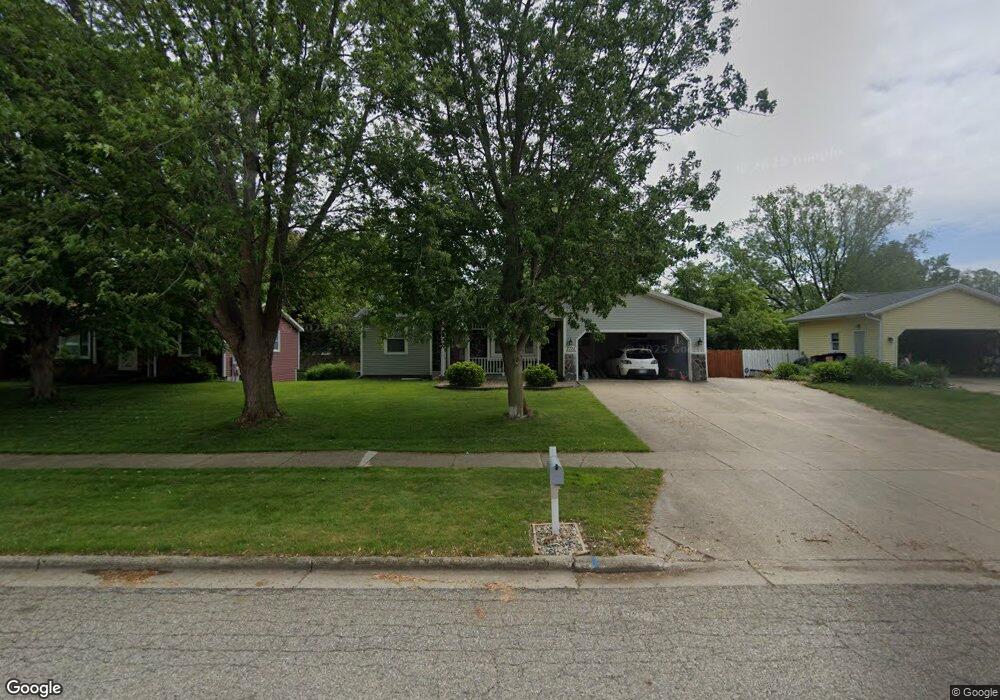
2724 Springdale Dr Hudsonville, MI 49426
Estimated Value: $330,000 - $364,076
3
Beds
2
Baths
2,060
Sq Ft
$169/Sq Ft
Est. Value
About This Home
This home is located at 2724 Springdale Dr, Hudsonville, MI 49426 and is currently estimated at $347,269, approximately $168 per square foot. 2724 Springdale Dr is a home located in Ottawa County with nearby schools including Hudsonville Freshman Campus, Baldwin Street Middle School, and Riley Street Middle School.
Ownership History
Date
Name
Owned For
Owner Type
Purchase Details
Closed on
Apr 12, 2023
Sold by
Bustraan David J
Bought by
Bustraan David J
Current Estimated Value
Purchase Details
Closed on
Apr 20, 2007
Sold by
Meyers Paul A and Meyers Debra L
Bought by
Bustraan David J
Home Financials for this Owner
Home Financials are based on the most recent Mortgage that was taken out on this home.
Original Mortgage
$136,485
Interest Rate
6.2%
Mortgage Type
Purchase Money Mortgage
Create a Home Valuation Report for This Property
The Home Valuation Report is an in-depth analysis detailing your home's value as well as a comparison with similar homes in the area
Home Values in the Area
Average Home Value in this Area
Purchase History
| Date | Buyer | Sale Price | Title Company |
|---|---|---|---|
| Bustraan David J | -- | None Listed On Document | |
| Bustraan David J | $150,000 | Metropolitan Title Company |
Source: Public Records
Mortgage History
| Date | Status | Borrower | Loan Amount |
|---|---|---|---|
| Previous Owner | Bustraan David J | $136,485 |
Source: Public Records
Tax History Compared to Growth
Tax History
| Year | Tax Paid | Tax Assessment Tax Assessment Total Assessment is a certain percentage of the fair market value that is determined by local assessors to be the total taxable value of land and additions on the property. | Land | Improvement |
|---|---|---|---|---|
| 2025 | $2,859 | $162,700 | $0 | $0 |
| 2024 | $2,743 | $153,600 | $0 | $0 |
| 2023 | $2,617 | $135,200 | $0 | $0 |
| 2022 | $2,595 | $116,000 | $0 | $0 |
| 2021 | $2,519 | $109,200 | $0 | $0 |
| 2020 | $2,491 | $90,600 | $0 | $0 |
| 2019 | $2,450 | $86,200 | $0 | $0 |
| 2018 | $2,245 | $83,400 | $0 | $0 |
| 2017 | $2,245 | $83,400 | $0 | $0 |
| 2016 | -- | $72,200 | $0 | $0 |
| 2015 | -- | $66,900 | $0 | $0 |
| 2014 | -- | $62,200 | $0 | $0 |
Source: Public Records
Map
Nearby Homes
- 6340 Summer Dr
- 0 V/L Edson (Parcel B) Dr
- 6724 28th Ave
- 6714 Cedar Grove W
- 3204 Port Sheldon St
- 6760 N Wentward Ct
- V/L Port Sheldon St
- 2921 N Wentward Ct
- 2339 Van Buren St
- 3126 Van Buren St
- 5557 Pleasant Ave
- 5833 Nelson Dr
- 6129 W Bay Ct
- 6293 Eastridge Dr
- 6363 Eastridge Ct
- 2323 Rosewood St
- 5290 Southbrook Ct Unit 46
- 3544 Nobb Hill Dr
- 5744 36th Ave
- 5270 Southbrook Ct Unit 64
- 2738 Springdale Dr
- 2712 Springdale Dr
- 2727 Hope St
- 2752 Springdale Dr
- 2700 Springdale Dr
- 2743 Hope St
- 2711 Hope St
- 2711 Springdale St
- 2725 Springdale Dr
- 2711 Springdale Dr
- 2739 Springdale Dr
- 2764 Springdale Dr
- 2688 Springdale Dr
- 2759 Hope St
- 2697 Hope St
- 2701 Springdale Dr
- 2757 Springdale Dr
- 2778 Springdale Dr
- 2687 Springdale Dr
- 2676 Springdale Dr