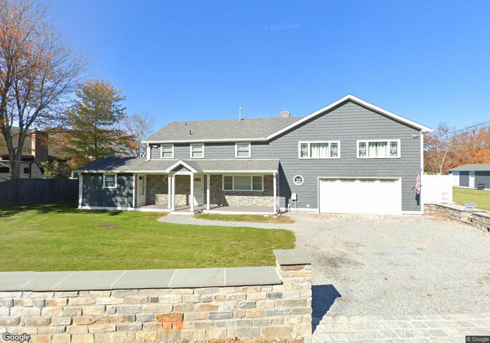
273 E Haddam Colchester Turnpike East Haddam, CT 06423
Estimated Value: $582,038 - $691,000
5
Beds
3
Baths
2,932
Sq Ft
$219/Sq Ft
Est. Value
About This Home
This home is located at 273 E Haddam Colchester Turnpike, East Haddam, CT 06423 and is currently estimated at $641,260, approximately $218 per square foot. 273 E Haddam Colchester Turnpike is a home located in Middlesex County with nearby schools including East Haddam Elementary School, Nathan Hale-Ray Middle School, and Nathan Hale-Ray High School.
Ownership History
Date
Name
Owned For
Owner Type
Purchase Details
Closed on
Apr 14, 2015
Sold by
Okeefe Gail
Bought by
Masotta 3Rd Frederick P
Current Estimated Value
Purchase Details
Closed on
Mar 1, 1995
Sold by
Navarro Brian and Navarro Damon
Bought by
Hutchins Wayne R and Hutchins Joyce A
Home Financials for this Owner
Home Financials are based on the most recent Mortgage that was taken out on this home.
Original Mortgage
$110,000
Interest Rate
7.25%
Mortgage Type
Purchase Money Mortgage
Create a Home Valuation Report for This Property
The Home Valuation Report is an in-depth analysis detailing your home's value as well as a comparison with similar homes in the area
Home Values in the Area
Average Home Value in this Area
Purchase History
| Date | Buyer | Sale Price | Title Company |
|---|---|---|---|
| Masotta 3Rd Frederick P | $97,333 | -- | |
| Okeefe Gail | -- | -- | |
| Hutchins Wayne R | $196,500 | -- |
Source: Public Records
Mortgage History
| Date | Status | Borrower | Loan Amount |
|---|---|---|---|
| Previous Owner | Hutchins Wayne R | $102,000 | |
| Previous Owner | Hutchins Wayne R | $110,000 | |
| Previous Owner | Hutchins Wayne R | $187,500 |
Source: Public Records
Tax History Compared to Growth
Tax History
| Year | Tax Paid | Tax Assessment Tax Assessment Total Assessment is a certain percentage of the fair market value that is determined by local assessors to be the total taxable value of land and additions on the property. | Land | Improvement |
|---|---|---|---|---|
| 2025 | $9,164 | $326,590 | $99,230 | $227,360 |
| 2024 | $8,740 | $326,590 | $99,230 | $227,360 |
| 2023 | $8,296 | $322,180 | $99,230 | $222,950 |
| 2022 | $7,730 | $243,170 | $130,470 | $112,700 |
| 2021 | $7,402 | $243,170 | $130,470 | $112,700 |
| 2020 | $7,402 | $243,170 | $130,470 | $112,700 |
| 2019 | $6,626 | $217,690 | $130,470 | $87,220 |
| 2018 | $6,514 | $219,630 | $132,410 | $87,220 |
| 2017 | $6,604 | $223,270 | $132,410 | $90,860 |
| 2016 | $6,553 | $223,270 | $132,410 | $90,860 |
| 2015 | $5,987 | $208,750 | $117,890 | $90,860 |
| 2014 | $5,824 | $208,740 | $117,880 | $90,860 |
Source: Public Records
Map
Nearby Homes
- 8 Tom Rd
- 42 Dogwood Rd
- 53 Falls Bashan Rd
- 154 Falls Rd
- 114 Lakeside Dr
- 21 Olmstead Rd
- 23 Olmstead Rd
- 0 Lakeside Dr
- 115 Lakeview Dr
- 53 Falls Rd
- 145 Lakeview Dr
- 112 Schulman Veslak Rd
- 45 Alger Rd
- 213 Waterhole Rd
- 213 Lakeview Dr
- 5 Joe Williams Rd
- 597 Westchester Rd
- 63 Schulman Veslak Rd
- 115 Sillimanville Rd
- 398 E Haddam Moodus Rd
- 271 E Haddam Colchester Turnpike
- 277 E Haddam Colchester Turnpike
- 60 Launching Area Rd
- 269 E Haddam Colchester Turnpike
- 0 Shore Rd
- 267 E Haddam Colchester Turnpike
- 47 Beech Ave
- 265 E Haddam Colchester Turnpike
- 266 E Haddam Colchester Turnpike
- 256 Eh Colchester Turnpike
- 264 E Haddam Colchester Turnpike
- 43 Beech Ave
- 2 Oak Ave
- 2 Oak Tree Rd
- 2 Oak Tree Rd (On Google Dorothy Ave
- 2 Oak Tree Rd
- 263 E Haddam Colchester Turnpike
- 50 Launching Area Rd
- 4 Oak Ave
- 35 Launching Area Rd