273 Robinson Rd Lufkin, TX 75904
Estimated Value: $247,712 - $362,000
--
Bed
7
Baths
2,120
Sq Ft
$144/Sq Ft
Est. Value
About This Home
This home is located at 273 Robinson Rd, Lufkin, TX 75904 and is currently estimated at $304,428, approximately $143 per square foot. 273 Robinson Rd is a home located in Angelina County with nearby schools including W.F. Peavy Primary School, W.H. Bonner Elementary School, and Hudson Middle School.
Ownership History
Date
Name
Owned For
Owner Type
Purchase Details
Closed on
Nov 19, 2015
Sold by
Carnes Jimmy
Bought by
Buster Rebecca Lynne
Current Estimated Value
Purchase Details
Closed on
Oct 5, 2009
Sold by
Mcrae Sharon K
Bought by
Carnes Jimmy
Purchase Details
Closed on
Jul 8, 2009
Sold by
Starling Labrenda
Bought by
Carnes Jimmy
Create a Home Valuation Report for This Property
The Home Valuation Report is an in-depth analysis detailing your home's value as well as a comparison with similar homes in the area
Home Values in the Area
Average Home Value in this Area
Purchase History
| Date | Buyer | Sale Price | Title Company |
|---|---|---|---|
| Buster Rebecca Lynne | -- | None Available | |
| Carnes Jimmy | -- | None Available | |
| Carnes Jimmy | -- | None Available |
Source: Public Records
Tax History Compared to Growth
Tax History
| Year | Tax Paid | Tax Assessment Tax Assessment Total Assessment is a certain percentage of the fair market value that is determined by local assessors to be the total taxable value of land and additions on the property. | Land | Improvement |
|---|---|---|---|---|
| 2025 | $1,286 | $212,900 | $48,950 | $163,950 |
| 2024 | $1,169 | $208,790 | $48,950 | $159,840 |
| 2023 | $1,057 | $206,060 | $48,950 | $157,110 |
| 2022 | $1,095 | $175,560 | $34,960 | $140,600 |
| 2021 | $1,085 | $164,760 | $34,960 | $129,800 |
| 2020 | $988 | $116,650 | $17,310 | $99,340 |
| 2019 | $928 | $113,250 | $16,810 | $96,440 |
| 2018 | $456 | $109,960 | $16,810 | $93,150 |
| 2017 | $456 | $40,410 | $13,460 | $26,950 |
| 2016 | $759 | $39,490 | $13,460 | $26,030 |
| 2015 | -- | $39,490 | $13,460 | $26,030 |
| 2014 | -- | $41,080 | $13,460 | $27,620 |
Source: Public Records
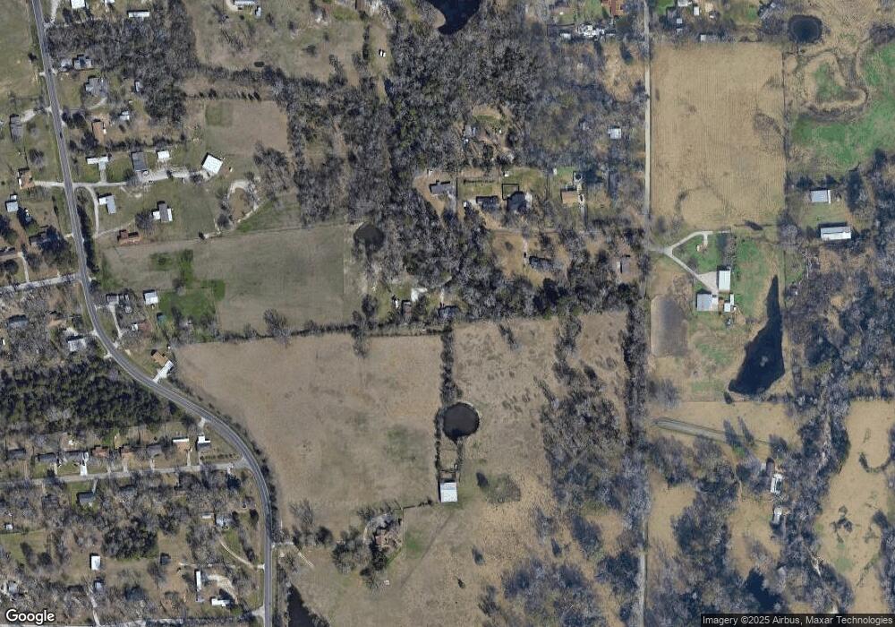
Map
Nearby Homes
- 4136 Bethlehem Rd
- 1072 Stephenson Brown Rd
- 358 Stone Dr
- 465 Roper Rd
- 325 Evans Gann Rd
- 3405 Bethlehem Rd
- 3335 Bethlehem Rd
- 185 Sandalwood St
- R143729 (Lot 6) Dena Kay Dr
- R143727 (Lot 4) Dena Kay Dr
- 130 Dena Kay Dr
- 454 Bobwhite Dr
- 286 Hunters Glen Dr
- 151 Plum Ridge
- R143745 (Lot22) Dena Kay Dr
- R143749(Lot26) Dena Kay Dr
- R143749 Dena Kay Dr
- R143745 Dena Kay Dr
- multiple Dena Kay Dr
- R143742 (Lot19) Dena Kay Dr
- 295 Robinson Rd
- 218 Robinson Rd
- 230 Robinson Rd
- 175 Robinson Rd
- 174 Robinson Rd
- 174 Robinson Rd
- 130 Faires Ln
- 3993 Bethlehem Rd
- 1282 Stephenson Brown Rd
- 132 Cedar Ridge
- 136 Green Sands Rd
- 253 Cedar Ridge
- 193 Cedar Ridge
- 0 Loop 287 & Crooked Creek
- 4496 Us Hwy 69n
- 4022 State Hwy 94n
- 125` Fm 1194s
- 5772 Hwy 94w
- 4022 Hwy 94w
- TBD Wurst Haus Dr