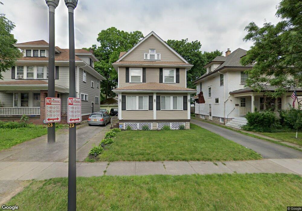
273 Sherwood Ave Rochester, NY 14619
19th Ward NeighborhoodEstimated Value: $192,000 - $217,000
3
Beds
1
Bath
1,500
Sq Ft
$140/Sq Ft
Est. Value
About This Home
This home is located at 273 Sherwood Ave, Rochester, NY 14619 and is currently estimated at $209,881, approximately $139 per square foot. 273 Sherwood Ave is a home located in Monroe County with nearby schools including John Walton Spencer School No. 16, Adlai E. Stevenson School 29, and George Mather Forbes School No. 4.
Ownership History
Date
Name
Owned For
Owner Type
Purchase Details
Closed on
Jun 15, 2007
Sold by
Jones Tracey W
Bought by
Heath Teresa R
Current Estimated Value
Home Financials for this Owner
Home Financials are based on the most recent Mortgage that was taken out on this home.
Original Mortgage
$60,000
Outstanding Balance
$36,813
Interest Rate
6.24%
Mortgage Type
Stand Alone Second
Estimated Equity
$173,068
Purchase Details
Closed on
Oct 11, 2005
Sold by
Norwest Bank Minnesota Na
Bought by
Jones Tracey W
Create a Home Valuation Report for This Property
The Home Valuation Report is an in-depth analysis detailing your home's value as well as a comparison with similar homes in the area
Home Values in the Area
Average Home Value in this Area
Purchase History
| Date | Buyer | Sale Price | Title Company |
|---|---|---|---|
| Heath Teresa R | $69,900 | Kathia M Casion | |
| Jones Tracey W | $22,700 | -- |
Source: Public Records
Mortgage History
| Date | Status | Borrower | Loan Amount |
|---|---|---|---|
| Open | Heath Teresa R | $60,000 | |
| Closed | Heath Teresa R | $57,650 |
Source: Public Records
Tax History Compared to Growth
Tax History
| Year | Tax Paid | Tax Assessment Tax Assessment Total Assessment is a certain percentage of the fair market value that is determined by local assessors to be the total taxable value of land and additions on the property. | Land | Improvement |
|---|---|---|---|---|
| 2024 | $1,076 | $193,100 | $9,600 | $183,500 |
| 2023 | $687 | $87,700 | $7,400 | $80,300 |
| 2022 | $809 | $87,700 | $7,400 | $80,300 |
| 2021 | $1,070 | $87,700 | $7,400 | $80,300 |
| 2020 | $606 | $87,700 | $7,400 | $80,300 |
| 2019 | $573 | $74,000 | $7,400 | $66,600 |
| 2018 | $945 | $74,000 | $7,400 | $66,600 |
| 2017 | $0 | $74,000 | $7,400 | $66,600 |
| 2016 | $573 | $74,000 | $7,400 | $66,600 |
| 2015 | $1,556 | $68,000 | $7,400 | $60,600 |
| 2014 | $1,556 | $68,000 | $7,400 | $60,600 |
Source: Public Records
Map
Nearby Homes
- 469 Arnett Blvd
- 409 Arnett Blvd
- 3 Ravenwood Ave
- 119-121 Thurston Rd
- 77 Post Ave
- 91-97 Thurston Rd
- 261 Warwick Ave
- 66 Ringle St
- 485 Rugby Ave
- 132-134 Salina St
- 56 Chili Terrace
- 359 Wellington Ave
- 457-459 Chili Ave
- 133 Rugby Ave
- 179 Warwick Ave
- 101 Roxborough Rd
- 64 Flanders St
- 456-458 Chili Ave
- 564 Chili Ave
- 149 Warwick Ave
- 269 Sherwood Ave
- 281 Sherwood Ave
- 263 Sherwood Ave
- 285 Sherwood Ave
- 258 Post Ave
- 254 Post Ave
- 264 Post Ave
- 259 Sherwood Ave
- 291 Sherwood Ave
- 250 Post Ave
- 268 Post Ave
- 255 Sherwood Ave
- 295 Sherwood Ave
- 244 Post Ave
- 274 Post Ave
- 274 Sherwood Ave
- 268 Sherwood Ave
- 280 Sherwood Ave
- 286 Sherwood Ave
- 264 Sherwood Ave