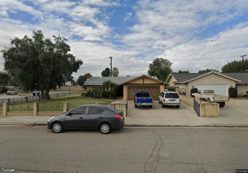
2748 S Inverness Ct Ontario, CA 91761
Ontario Ranch NeighborhoodEstimated Value: $689,329 - $779,000
4
Beds
2
Baths
1,732
Sq Ft
$429/Sq Ft
Est. Value
About This Home
This home is located at 2748 S Inverness Ct, Ontario, CA 91761 and is currently estimated at $743,082, approximately $429 per square foot. 2748 S Inverness Ct is a home located in San Bernardino County with nearby schools including Levi H. Dickey Elementary School, Woodcrest Junior High, and Chino High School.
Ownership History
Date
Name
Owned For
Owner Type
Purchase Details
Closed on
Mar 22, 2011
Sold by
Borges Mateus S
Bought by
Mateus Borges Revocable Living Trust
Current Estimated Value
Purchase Details
Closed on
May 20, 2002
Sold by
Borges Maria F
Bought by
Borges Mateus S
Home Financials for this Owner
Home Financials are based on the most recent Mortgage that was taken out on this home.
Original Mortgage
$84,000
Interest Rate
6.89%
Create a Home Valuation Report for This Property
The Home Valuation Report is an in-depth analysis detailing your home's value as well as a comparison with similar homes in the area
Home Values in the Area
Average Home Value in this Area
Purchase History
| Date | Buyer | Sale Price | Title Company |
|---|---|---|---|
| Mateus Borges Revocable Living Trust | -- | None Available | |
| Borges Mateus S | -- | United Title Company |
Source: Public Records
Mortgage History
| Date | Status | Borrower | Loan Amount |
|---|---|---|---|
| Closed | Borges Mateus S | $84,000 |
Source: Public Records
Tax History Compared to Growth
Tax History
| Year | Tax Paid | Tax Assessment Tax Assessment Total Assessment is a certain percentage of the fair market value that is determined by local assessors to be the total taxable value of land and additions on the property. | Land | Improvement |
|---|---|---|---|---|
| 2025 | $1,102 | $106,499 | $14,109 | $92,390 |
| 2024 | $1,102 | $104,410 | $13,832 | $90,578 |
| 2023 | $1,071 | $102,363 | $13,561 | $88,802 |
| 2022 | $1,063 | $100,356 | $13,295 | $87,061 |
| 2021 | $1,041 | $98,388 | $13,034 | $85,354 |
| 2020 | $1,027 | $97,379 | $12,900 | $84,479 |
| 2019 | $1,008 | $95,470 | $12,647 | $82,823 |
| 2018 | $985 | $93,598 | $12,399 | $81,199 |
| 2017 | $966 | $91,763 | $12,156 | $79,607 |
| 2016 | $903 | $89,964 | $11,918 | $78,046 |
| 2015 | $884 | $88,613 | $11,739 | $76,874 |
| 2014 | $865 | $86,877 | $11,509 | $75,368 |
Source: Public Records
Map
Nearby Homes
- 1855 E Riverside Dr Space169
- 1855 E Riverside Dr Unit 191
- 1855 E Riverside Dr Unit 415
- 1855 E Riverside Dr Unit 326
- 1855 E Riverside Dr Unit Space 405
- 1855 E Riverside Dr Unit 388
- 1855 E Riverside Dr Unit 293
- 1855 E Riverside Dr Unit 300
- 1855 E Riverside Dr Unit 9
- 1855 E Riverside Dr Unit 392
- 1855 E Riverside Dr Unit 94
- 1855 E Riverside Dr Unit 128
- 1855 E Riverside Dr Unit 158
- 1855 E Riverside Dr Unit 264
- 1855 E Riverside Dr Unit 74e
- 2641 S Sacramento Place
- 11130 E Riverside Dr
- 2620 S Quaker Ridge Place
- 1557 E Cherry Hill St
- 2817 S Lassen Ave
- 2742 S Inverness Ct
- 2738 S Inverness Ct
- 1915 E Saint Andrews Dr
- 1902 E Saint Andrews Dr
- 1906 E Saint Andrews Dr
- 1910 E Saint Andrews Dr
- 1916 E Brookside Dr
- 2732 S Inverness Ct
- 1916 E Saint Andrews Dr
- 1921 E Saint Andrews Dr
- 1922 E Brookside Dr
- 2807 Carnoustie Ct
- 2726 S Inverness Ct
- 1920 E Saint Andrews Dr
- 1927 E Saint Andrews Dr
- 2803 Carnoustie Ct
- 2809 Carnoustie Ct
- 1928 E Brookside Dr
- 2720 S Inverness Ct
- 1926 E Saint Andrews Dr