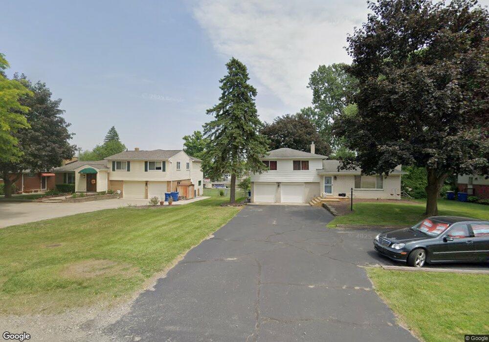
275 S Cass Lake Rd Waterford, MI 48328
Waterford Township NeighborhoodEstimated Value: $334,000 - $404,199
3
Beds
2
Baths
1,176
Sq Ft
$308/Sq Ft
Est. Value
About This Home
This home is located at 275 S Cass Lake Rd, Waterford, MI 48328 and is currently estimated at $362,050, approximately $307 per square foot. 275 S Cass Lake Rd is a home located in Oakland County with nearby schools including Donelson Hills Elementary School, Mason Middle School, and Waterford Mott High School.
Ownership History
Date
Name
Owned For
Owner Type
Purchase Details
Closed on
Mar 10, 2003
Sold by
Poppei Michael W and Poppei Janet
Bought by
Poppei Michael W and Poppei Janet
Current Estimated Value
Purchase Details
Closed on
May 21, 2001
Sold by
Hills Kay T
Bought by
Poppei Michael W
Home Financials for this Owner
Home Financials are based on the most recent Mortgage that was taken out on this home.
Original Mortgage
$187,100
Outstanding Balance
$70,638
Interest Rate
7.18%
Estimated Equity
$291,412
Create a Home Valuation Report for This Property
The Home Valuation Report is an in-depth analysis detailing your home's value as well as a comparison with similar homes in the area
Home Values in the Area
Average Home Value in this Area
Purchase History
| Date | Buyer | Sale Price | Title Company |
|---|---|---|---|
| Poppei Michael W | -- | Metro Title Corp | |
| Poppei Michael W | $197,000 | -- |
Source: Public Records
Mortgage History
| Date | Status | Borrower | Loan Amount |
|---|---|---|---|
| Open | Poppei Michael W | $187,100 |
Source: Public Records
Tax History Compared to Growth
Tax History
| Year | Tax Paid | Tax Assessment Tax Assessment Total Assessment is a certain percentage of the fair market value that is determined by local assessors to be the total taxable value of land and additions on the property. | Land | Improvement |
|---|---|---|---|---|
| 2024 | $4,180 | $174,180 | $0 | $0 |
| 2023 | $3,944 | $167,060 | $0 | $0 |
| 2022 | $5,504 | $148,130 | $0 | $0 |
| 2021 | $5,257 | $147,120 | $0 | $0 |
| 2020 | $3,637 | $141,180 | $0 | $0 |
| 2019 | $4,897 | $139,560 | $0 | $0 |
| 2018 | $4,823 | $115,240 | $0 | $0 |
| 2017 | $4,520 | $115,240 | $0 | $0 |
| 2016 | $4,501 | $116,300 | $0 | $0 |
| 2015 | -- | $113,360 | $0 | $0 |
| 2014 | -- | $90,500 | $0 | $0 |
| 2011 | -- | $79,820 | $0 | $0 |
Source: Public Records
Map
Nearby Homes
- 321 Beverly Estates Dr Unit 5
- 345 Beverly Island Dr
- The Dover Plan at Hogarth
- The Dawson Plan at Hogarth
- The Concord Plan at Hogarth
- The Everest Plan at Hogarth
- 433 Hogarth St
- 425 Hogarth St
- 424 Hogarth St
- 540 Lake Village Ave
- 581 S Winding Dr
- 3014 Edgewater Dr
- 3066 W Huron St
- 603 Woodingham Ave
- 126 S Roslyn Rd
- 445 Lakeside Dr
- 3860 Lawley Ave
- 125 N Winding Dr
- 0 N Winding Dr
- 87 N Roslyn Rd
- 289 S Cass Lake Rd
- 261 S Cass Lake Rd
- 303 S Cass Lake Rd
- 247 S Cass Lake Rd
- 233 S Cass Lake Rd
- VAC Beverly Estates Dr
- VAC Beverly Estates
- 317 S Cass Lake Rd
- 3522 Oakshire Ave
- 331 S Cass Lake Rd
- 3521 Oakshire Ave
- 219 S Cass Lake Rd
- 297 Beverly Estates Dr Unit 2
- 3540 Oakshire Ave
- 205 S Cass Lake Rd
- 345 S Cass Lake Rd
- 3539 Oakshire Ave
- 320 S Cass Lake Rd
- 305 Beverly Estates Dr
- 228 S Cass Lake Rd