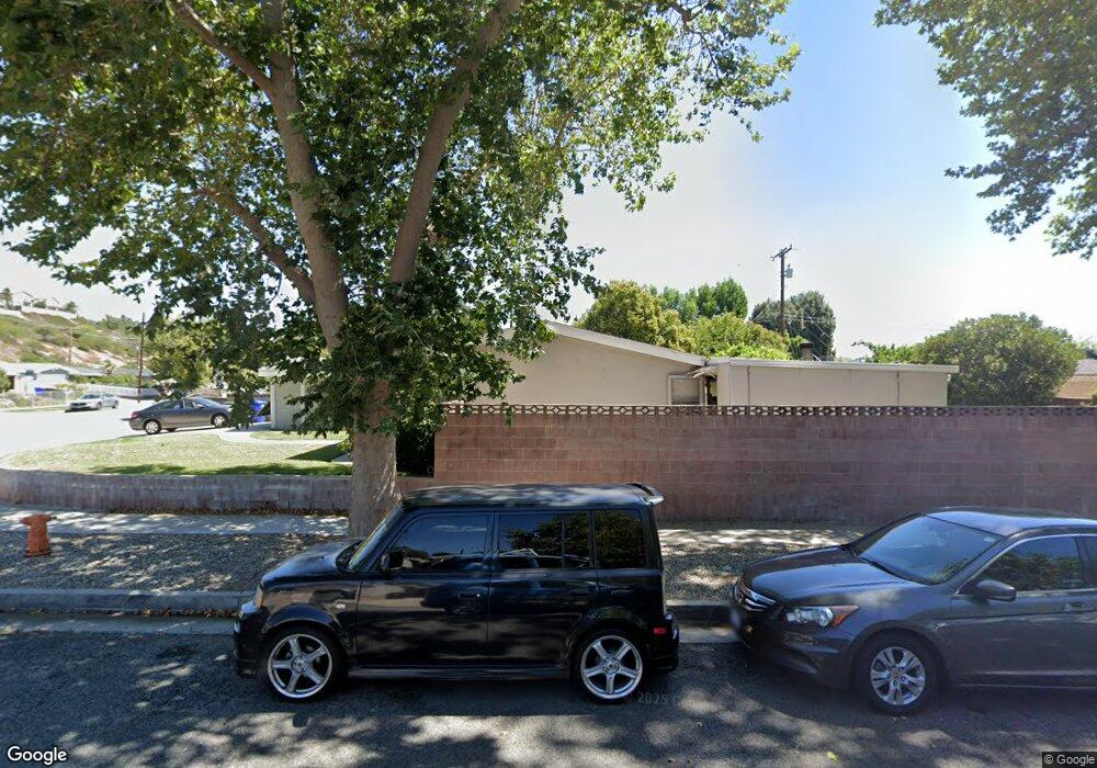
27543 Crossglade Ave Canyon Country, CA 91351
Estimated Value: $655,256 - $751,000
3
Beds
2
Baths
982
Sq Ft
$700/Sq Ft
Est. Value
About This Home
This home is located at 27543 Crossglade Ave, Canyon Country, CA 91351 and is currently estimated at $687,064, approximately $699 per square foot. 27543 Crossglade Ave is a home located in Los Angeles County with nearby schools including Canyon Springs Community Elementary School, Sierra Vista Junior High School, and Canyon High School.
Ownership History
Date
Name
Owned For
Owner Type
Purchase Details
Closed on
Jun 28, 2006
Sold by
Friedman Michael
Bought by
The Michael Friedman Living Trust
Current Estimated Value
Purchase Details
Closed on
Aug 28, 1998
Sold by
Harms Mike R and Harms Cherie
Bought by
Friedman Michael
Home Financials for this Owner
Home Financials are based on the most recent Mortgage that was taken out on this home.
Original Mortgage
$146,370
Outstanding Balance
$31,239
Interest Rate
6.89%
Estimated Equity
$655,825
Purchase Details
Closed on
Aug 23, 1994
Sold by
Great Western Bank Fsb
Bought by
Harms Mike R and Harms Cherie
Home Financials for this Owner
Home Financials are based on the most recent Mortgage that was taken out on this home.
Original Mortgage
$85,350
Interest Rate
8.58%
Purchase Details
Closed on
May 26, 1994
Sold by
California Reconveyance Company
Bought by
Great Western Bank Fsb
Create a Home Valuation Report for This Property
The Home Valuation Report is an in-depth analysis detailing your home's value as well as a comparison with similar homes in the area
Home Values in the Area
Average Home Value in this Area
Purchase History
| Date | Buyer | Sale Price | Title Company |
|---|---|---|---|
| The Michael Friedman Living Trust | -- | None Available | |
| Friedman Michael | $149,000 | Fidelity National Title Ins | |
| Harms Mike R | $88,000 | -- | |
| Great Western Bank Fsb | $77,681 | Chicago Title Company |
Source: Public Records
Mortgage History
| Date | Status | Borrower | Loan Amount |
|---|---|---|---|
| Open | Friedman Michael | $146,370 | |
| Previous Owner | Harms Mike R | $85,350 |
Source: Public Records
Tax History Compared to Growth
Tax History
| Year | Tax Paid | Tax Assessment Tax Assessment Total Assessment is a certain percentage of the fair market value that is determined by local assessors to be the total taxable value of land and additions on the property. | Land | Improvement |
|---|---|---|---|---|
| 2025 | $3,486 | $233,560 | $110,198 | $123,362 |
| 2024 | $3,486 | $228,982 | $108,038 | $120,944 |
| 2023 | $3,363 | $224,493 | $105,920 | $118,573 |
| 2022 | $3,306 | $220,093 | $103,844 | $116,249 |
| 2021 | $3,252 | $215,778 | $101,808 | $113,970 |
| 2019 | $3,130 | $209,381 | $98,790 | $110,591 |
| 2018 | $3,010 | $205,276 | $96,853 | $108,423 |
| 2016 | $2,816 | $197,307 | $93,093 | $104,214 |
| 2015 | $2,868 | $194,344 | $91,695 | $102,649 |
| 2014 | $2,820 | $190,538 | $89,899 | $100,639 |
Source: Public Records
Map
Nearby Homes
- Plan 2 at Altis at Skyline
- Plan 3 at Altis at Skyline
- Plan 6 at Altis at Skyline
- Plan 1 at Altis at Skyline
- Plan 4 at Altis at Skyline
- Plan 5 at Altis at Skyline
- 18920 Felbridge St
- 18717 Kimbrough St
- 18718 Delight St
- 18829 Vicci St
- 27939 Bernina Ave
- 18834 Wellhaven St
- 27508 Esterbrook Ave
- 27664 Cordovan Dr
- 18816 Darter Dr
- 19460 Delight St
- 19230 Nearbrook St
- 18612 Hilton Ct
- 27420 Homyr Place
- 27635 Sienna Ridge Row
- 27537 Crossglade Ave
- 19013 Lonerock St
- 19022 Newhouse St
- 19007 Lonerock St
- 19021 Lonerock St
- 19011 Newhouse St
- 19007 Newhouse St
- 19017 Newhouse St
- 27542 Crossglade Ave
- 19003 Newhouse St
- 27548 Crossglade Ave
- 27538 Crossglade Ave
- 19027 Lonerock St
- 19028 Newhouse St
- 19023 Newhouse St
- 27532 Crossglade Ave
- 19031 Lonerock St
- 19029 Newhouse St
- 27526 Crossglade Ave
- 19102 Newhouse St