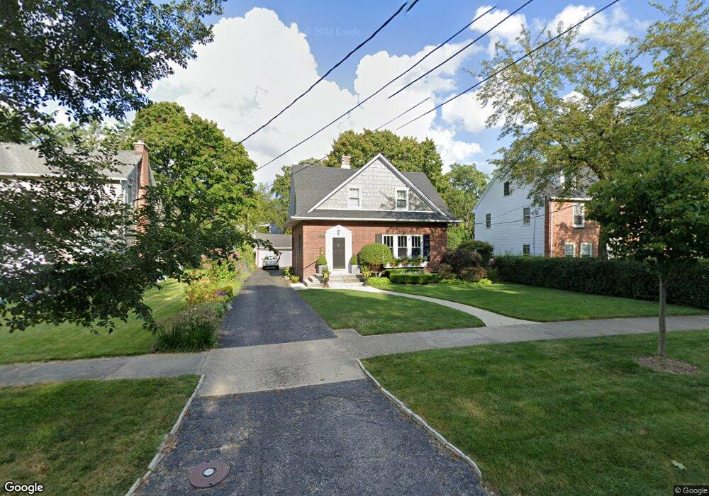
2765 Fort Sheridan Ave Highland Park, IL 60035
East Highland Park NeighborhoodEstimated Value: $362,000 - $549,000
3
Beds
2
Baths
1,320
Sq Ft
$361/Sq Ft
Est. Value
About This Home
This home is located at 2765 Fort Sheridan Ave, Highland Park, IL 60035 and is currently estimated at $476,828, approximately $361 per square foot. 2765 Fort Sheridan Ave is a home located in Lake County with nearby schools including Indian Trail Elementary School, Edgewood Middle School, and Highland Park High School.
Ownership History
Date
Name
Owned For
Owner Type
Purchase Details
Closed on
Mar 21, 2002
Sold by
Pearlman Carol and Konsler Carl W
Bought by
Fortezzo Christopher and Fortezzo Michelle D
Current Estimated Value
Home Financials for this Owner
Home Financials are based on the most recent Mortgage that was taken out on this home.
Original Mortgage
$275,000
Interest Rate
7.24%
Create a Home Valuation Report for This Property
The Home Valuation Report is an in-depth analysis detailing your home's value as well as a comparison with similar homes in the area
Home Values in the Area
Average Home Value in this Area
Purchase History
| Date | Buyer | Sale Price | Title Company |
|---|---|---|---|
| Fortezzo Christopher | $75,000 | -- | |
| Fortezzo Christopher | $75,000 | -- | |
| Fortezzo Christopher | $150,000 | -- |
Source: Public Records
Mortgage History
| Date | Status | Borrower | Loan Amount |
|---|---|---|---|
| Previous Owner | Fortezzo Christopher | $275,000 |
Source: Public Records
Tax History Compared to Growth
Tax History
| Year | Tax Paid | Tax Assessment Tax Assessment Total Assessment is a certain percentage of the fair market value that is determined by local assessors to be the total taxable value of land and additions on the property. | Land | Improvement |
|---|---|---|---|---|
| 2024 | $10,105 | $136,669 | $50,120 | $86,549 |
| 2023 | $8,470 | $123,192 | $45,178 | $78,014 |
| 2022 | $8,470 | $100,058 | $49,630 | $50,428 |
| 2021 | $7,798 | $96,721 | $47,975 | $48,746 |
| 2020 | $7,545 | $96,721 | $47,975 | $48,746 |
| 2019 | $7,294 | $96,269 | $47,751 | $48,518 |
| 2018 | $6,495 | $91,265 | $44,019 | $47,246 |
| 2017 | $6,393 | $90,739 | $43,765 | $46,974 |
| 2016 | $6,149 | $86,385 | $41,665 | $44,720 |
| 2015 | $5,937 | $80,261 | $38,711 | $41,550 |
| 2014 | $5,921 | $78,285 | $37,603 | $40,682 |
| 2012 | $5,771 | $78,741 | $37,822 | $40,919 |
Source: Public Records
Map
Nearby Homes
- 417 Temple Ave
- 0 Moraine Rd
- 2542 Green Bay Rd
- 2500 Green Bay Rd
- 1 Burtis Ave
- 0 Patten Rd
- 2441 Woodbridge Ln
- 221 Burchell Ave
- 0 Skokie Ave
- 228 Llewellyn Ave
- 239 Sheridan Ave
- 0 Wrendale Ave Unit MRD12487576
- 525 Lockard Ln
- 560 Vine Ave Unit 103
- 535 Lockard Ln
- 2046 Saint Johns Ave Unit 2A
- 738 Lyster Rd Unit 1
- 2086 Saint Johns Ave Unit 207
- 2066 Saint Johns Ave Unit 404
- 2514 Hidden Oak (Lot 9) Cir
- 2755 Fort Sheridan Ave
- 2775 Fort Sheridan Ave
- 2747 Fort Sheridan Ave
- 2788 Port Clinton Rd
- 2754 Port Clinton Rd
- 2787 Fort Sheridan Ave
- 176 Walker Ave
- 166 Walker Ave
- 2746 Port Clinton Rd
- 2735 Fort Sheridan Ave
- 2784 Fort Sheridan Ave
- 2770 Fort Sheridan Ave
- 2794 Port Clinton Rd
- 2754 Fort Sheridan Ave
- 2736 Port Clinton Rd
- 210 Walker Ave
- 2744 Fort Sheridan Ave
- 2726 Port Clinton Rd
- 220 Walker Ave
- 2765 Port Clinton Rd