2770 Collins Mill Rd Louisburg, NC 27549
Estimated Value: $187,000 - $316,000
2
Beds
1
Bath
1,200
Sq Ft
$218/Sq Ft
Est. Value
About This Home
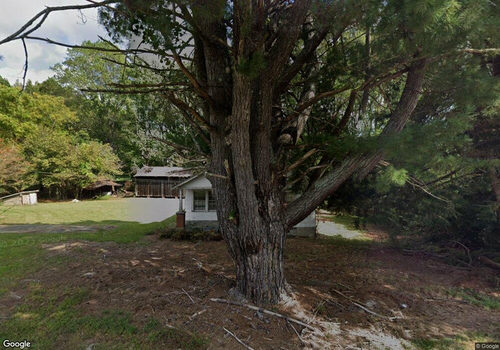
This home is located at 2770 Collins Mill Rd, Louisburg, NC 27549 and is currently estimated at $261,667, approximately $218 per square foot. 2770 Collins Mill Rd is a home located in Franklin County with nearby schools including Laurel Mill Elementary School, Terrell Lane Middle School, and Louisburg High School.
Ownership History
Date
Name
Owned For
Owner Type
Purchase Details
Closed on
Nov 22, 2024
Sold by
Shearin Dorothy Burnette and Shearin Henry B
Bought by
Burnette Investment Group Llc
Current Estimated Value
Purchase Details
Closed on
Aug 27, 2021
Sold by
Wester William L and Wester Sonya
Bought by
Wester William L and Wester Sonya
Purchase Details
Closed on
Apr 22, 2016
Sold by
Brewer Emmett Perry and Brewer Perry Angie
Bought by
Shearin Dorothy Burnette and Shearin Henry B
Create a Home Valuation Report for This Property
The Home Valuation Report is an in-depth analysis detailing your home's value as well as a comparison with similar homes in the area
Home Values in the Area
Average Home Value in this Area
Purchase History
| Date | Buyer | Sale Price | Title Company |
|---|---|---|---|
| Burnette Investment Group Llc | -- | None Listed On Document | |
| Burnette Investment Group Llc | -- | None Listed On Document | |
| Wester William L | -- | None Available | |
| Shearin Dorothy Burnette | $10,000 | Attorney |
Source: Public Records
Tax History Compared to Growth
Tax History
| Year | Tax Paid | Tax Assessment Tax Assessment Total Assessment is a certain percentage of the fair market value that is determined by local assessors to be the total taxable value of land and additions on the property. | Land | Improvement |
|---|---|---|---|---|
| 2024 | $434 | $76,840 | $31,500 | $45,340 |
| 2023 | $184 | $21,723 | $10,313 | $11,410 |
| 2022 | $184 | $21,723 | $10,313 | $11,410 |
| 2021 | $186 | $21,723 | $10,313 | $11,410 |
| 2020 | $187 | $21,723 | $10,313 | $11,410 |
| 2019 | $187 | $21,723 | $10,313 | $11,410 |
| 2018 | $187 | $21,723 | $10,313 | $11,410 |
| 2017 | $334 | $26,725 | $9,375 | $17,350 |
| 2016 | $343 | $26,725 | $9,375 | $17,350 |
| 2015 | $343 | $26,725 | $9,375 | $17,350 |
| 2014 | $304 | $26,725 | $9,375 | $17,350 |
Source: Public Records
Map
Nearby Homes
- 00 Reynolds Rd
- 457 Reynolds Rd
- 0 Ruffin St Unit LotWP001 22913858
- 1143 Reed Rd
- 480 Ernest Turner Rd
- 2150 N Carolina 58
- 3787 N Carolina 58
- 973 Vaiden Rd
- 1056 N Carolina 58
- 0 Vaiden Rd Unit 10102990
- 917 Vaiden Rd
- 721 N Carolina 58
- 401 Capps Farm Rd
- 7 & 7a Richardson Rd
- 4.29 Acres Leonard Rd
- 9.56 Acres Leonard Rd
- 00 Red Bud Rd
- 0 Wood Rd
- 19687 N Carolina 43
- 0 Richardson Rd
- 2757 Collins Mill Rd
- 720 Wood Church Rd
- 29 Franklin Ave
- 21 Warren Ave
- 711 Wood Church Rd
- 725 Wood Church Rd
- 36 Warren Ave
- 36 Warren Ave
- 31 Warren Ave
- 31 Warren Ave
- 31 Warren Ave
- 31 Warren Ave
- 693 Wood Church Rd
- 28 Franklin Ave
- 7309 Nc 561 Hwy
- 54 Linwood Gupton Rd
- 54 Linwood Gupton Rd
- 54 Linwood Gupton Rd
- 80 Franklin Ave
- 85 Franklin Ave