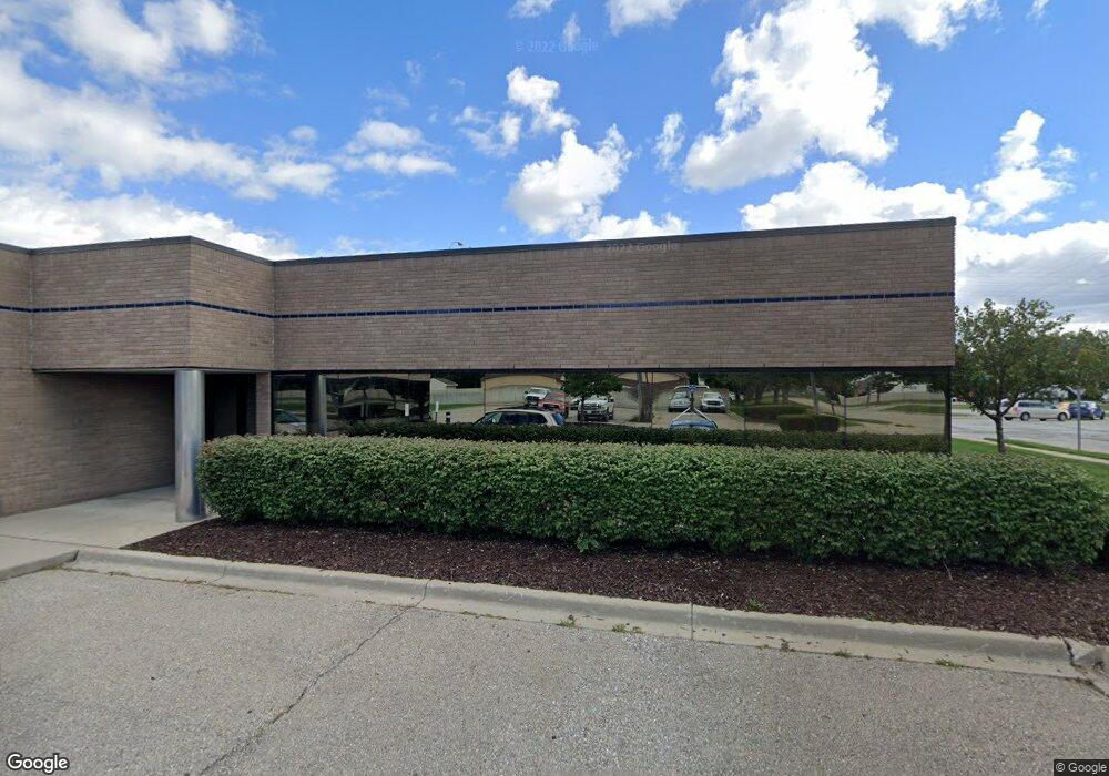
27789 Mound Rd Warren, MI 48092
Northwest Warren NeighborhoodEstimated Value: $965,884
--
Bed
--
Bath
6,601
Sq Ft
$146/Sq Ft
Est. Value
About This Home
This home is located at 27789 Mound Rd, Warren, MI 48092 and is currently estimated at $965,884, approximately $146 per square foot. 27789 Mound Rd is a home located in Macomb County with nearby schools including Siersma Elementary School, Beer Middle School, and Warren Mott High School.
Ownership History
Date
Name
Owned For
Owner Type
Purchase Details
Closed on
Jan 6, 2021
Sold by
Francent Llc
Bought by
Parkside Lands Llc
Current Estimated Value
Purchase Details
Closed on
Sep 1, 2004
Sold by
Franco Cornelio M and Franco Lilian M
Bought by
Francent Llc
Home Financials for this Owner
Home Financials are based on the most recent Mortgage that was taken out on this home.
Original Mortgage
$600,000
Interest Rate
6.17%
Mortgage Type
Construction
Create a Home Valuation Report for This Property
The Home Valuation Report is an in-depth analysis detailing your home's value as well as a comparison with similar homes in the area
Home Values in the Area
Average Home Value in this Area
Purchase History
| Date | Buyer | Sale Price | Title Company |
|---|---|---|---|
| Parkside Lands Llc | $675,000 | Ata National Title Group Llc | |
| Francent Llc | -- | Chicago Title Insurance Co |
Source: Public Records
Mortgage History
| Date | Status | Borrower | Loan Amount |
|---|---|---|---|
| Previous Owner | Francent Llc | $600,000 |
Source: Public Records
Tax History Compared to Growth
Tax History
| Year | Tax Paid | Tax Assessment Tax Assessment Total Assessment is a certain percentage of the fair market value that is determined by local assessors to be the total taxable value of land and additions on the property. | Land | Improvement |
|---|---|---|---|---|
| 2025 | $21,794 | $301,100 | $0 | $0 |
| 2024 | $21,152 | $327,050 | $0 | $0 |
| 2023 | $20,052 | $302,770 | $0 | $0 |
| 2022 | $21,327 | $314,770 | $0 | $0 |
| 2021 | $14,954 | $310,480 | $0 | $0 |
| 2020 | $14,443 | $318,460 | $0 | $0 |
| 2019 | $13,878 | $297,540 | $0 | $0 |
| 2018 | $13,927 | $205,040 | $0 | $0 |
| 2017 | $13,609 | $64,080 | $61,190 | $2,890 |
| 2016 | $13,532 | $235,250 | $0 | $0 |
| 2015 | -- | $230,880 | $0 | $0 |
| 2013 | $12,786 | $194,170 | $0 | $0 |
Source: Public Records
Map
Nearby Homes
- 5639 Heathdale Ave
- 27262 Welsh Dr
- 5141 Martin Rd
- 28440 Panama St
- 27400 Milton Ave
- 5600 Elmgrove Ave
- 27649 Milton Ave
- 5873 Elmgrove Ave
- 28623 Panama St
- 26746 Grobbel Ave
- 26715 Villa Calabrese
- 28556 Milton Ave
- 5142 Trailwood Ln
- 27575 Strathmoor Dr
- 11 E 11 Mile Rd
- 5102 Ridge Ln
- 26828 Merideth Dr
- 4878 Wolgast Dr
- 4952 Bernice Ave
- 27225 Townsend Ave
- 27789 Mound Rd Unit 200
- Mound Rd
- 5731 Heathdale Ave
- 27815 Mound Rd
- 5707 Heathdale Ave
- 27833 Mound Rd Unit 27849 mound
- 5710 Martin Rd
- 27885 Mound Rd
- 5669 Heathdale Ave
- 5698 Martin Rd
- 5686 Martin Rd
- 5674 Heathdale Ave
- 5674 Martin Rd
- 5662 Martin Rd
- 5650 Heathdale Ave
- 5603 Heathdale Ave
- 5650 Martin Rd
- 27600 Mound Rd
- 5600 Heathdale Ave
- 5648 Martin Rd