2779 Durham Dr NE Atlanta, GA 30319
Ashford Park NeighborhoodEstimated Value: $579,360 - $713,000
4
Beds
4
Baths
2,761
Sq Ft
$228/Sq Ft
Est. Value
About This Home
This home is located at 2779 Durham Dr NE, Atlanta, GA 30319 and is currently estimated at $628,590, approximately $227 per square foot. 2779 Durham Dr NE is a home located in DeKalb County with nearby schools including Chamblee Charter High School, St Martins Episcopal School, and Our Lady of the Assumption Catholic School.
Ownership History
Date
Name
Owned For
Owner Type
Purchase Details
Closed on
Jun 16, 2017
Sold by
Griffin Jason R
Bought by
Donaldson Anthony Leon and Vazquez Carroll
Current Estimated Value
Home Financials for this Owner
Home Financials are based on the most recent Mortgage that was taken out on this home.
Original Mortgage
$432,172
Outstanding Balance
$358,613
Interest Rate
4.02%
Mortgage Type
VA
Estimated Equity
$269,977
Purchase Details
Closed on
Nov 26, 2008
Sold by
Beazer Hm Corp
Bought by
Griffin Jason R and Griffin Laura A
Home Financials for this Owner
Home Financials are based on the most recent Mortgage that was taken out on this home.
Original Mortgage
$281,150
Interest Rate
6.1%
Mortgage Type
New Conventional
Create a Home Valuation Report for This Property
The Home Valuation Report is an in-depth analysis detailing your home's value as well as a comparison with similar homes in the area
Home Values in the Area
Average Home Value in this Area
Purchase History
| Date | Buyer | Sale Price | Title Company |
|---|---|---|---|
| Donaldson Anthony Leon | $435,000 | -- | |
| Griffin Jason R | $351,500 | -- |
Source: Public Records
Mortgage History
| Date | Status | Borrower | Loan Amount |
|---|---|---|---|
| Open | Donaldson Anthony Leon | $432,172 | |
| Previous Owner | Griffin Jason R | $281,150 |
Source: Public Records
Tax History Compared to Growth
Tax History
| Year | Tax Paid | Tax Assessment Tax Assessment Total Assessment is a certain percentage of the fair market value that is determined by local assessors to be the total taxable value of land and additions on the property. | Land | Improvement |
|---|---|---|---|---|
| 2025 | $6,177 | $221,320 | $50,000 | $171,320 |
| 2024 | $6,436 | $228,680 | $50,000 | $178,680 |
| 2023 | $6,436 | $216,400 | $50,000 | $166,400 |
| 2022 | $5,707 | $195,160 | $36,000 | $159,160 |
| 2021 | $5,532 | $188,240 | $36,000 | $152,240 |
| 2020 | $5,525 | $182,760 | $36,000 | $146,760 |
| 2019 | $5,363 | $179,360 | $36,000 | $143,360 |
| 2018 | $5,241 | $174,000 | $35,280 | $138,720 |
| 2017 | $5,901 | $181,960 | $36,000 | $145,960 |
| 2016 | $4,938 | $155,880 | $44,800 | $111,080 |
| 2014 | $3,824 | $116,280 | $44,840 | $71,440 |
Source: Public Records
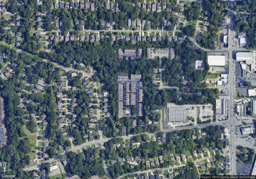
Map
Nearby Homes
- 2735 Skyland Dr NE
- 1836 S Garden Ct NE
- 1831 Dresden Dr NE
- 1872 Canmont Dr NE
- 1951 Dresden Dr NE
- 1912 Canmont Dr NE
- 2738 S Bamby Ln NE
- 2804 Skyland Dr NE
- 2840 Duncan Dr
- 2601 Stoland Dr NE
- 1761 Georgian Terrace
- 2741 Tryon Place NE
- 3771 Clairmont Rd
- 2512 Brookline Cir NE
- 1899 Raven Hill Dr NE
- 2539 Skyland Dr NE
- 1799 Falling Sky Ct NE
- 2779 Durham Dr NE Unit 2779
- 2781 Durham Dr NE
- 2781 Durham Dr NE Unit 2781
- 2777 Durham Dr NE Unit 59
- 2777 Durham Dr NE
- 2777 Durham Dr NE Unit 2777
- 2783 Durham Dr NE
- 2783 Durham Dr NE Unit 2783
- 2686 Derby Walk NE Unit 2686
- 2686 Derby Walk NE
- 2686 Derby Walk NE Unit 51
- 0 Durham Dr NE Unit 7148118
- 0 Durham Dr NE Unit 3248409
- 0 Durham Dr NE Unit 8328047
- 0 Durham Dr NE Unit 3200142
- 0 Durham Dr NE Unit 8627702
- 0 Durham Dr NE Unit 8246253
- 0 Durham Dr NE Unit 8163253
- 0 Durham Dr NE Unit 8156637
- 0 Durham Dr NE Unit 8047208