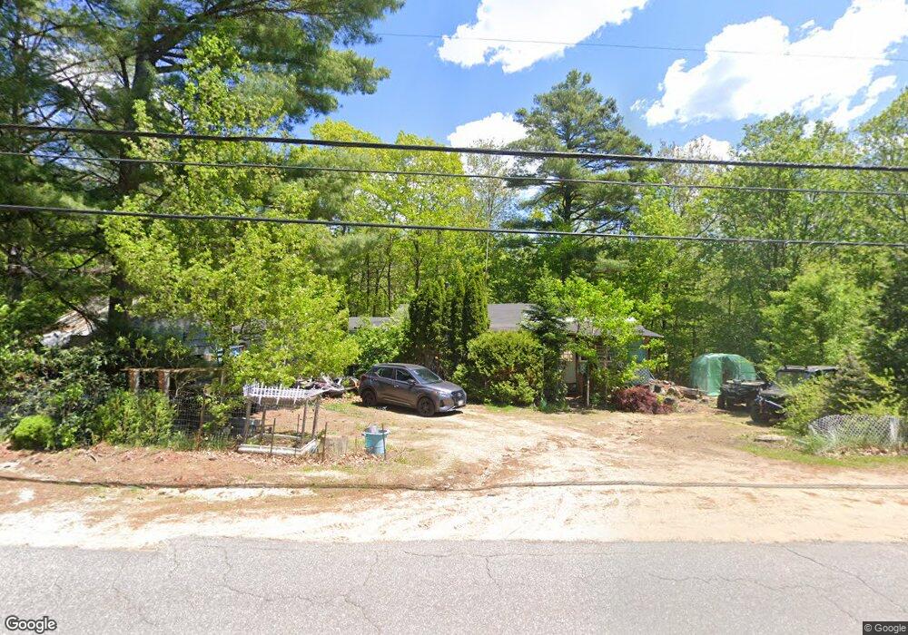
279 West Rd Bowdoin, ME 04287
Estimated Value: $159,807 - $367,000
3
Beds
2
Baths
1,436
Sq Ft
$172/Sq Ft
Est. Value
About This Home
This home is located at 279 West Rd, Bowdoin, ME 04287 and is currently estimated at $247,269, approximately $172 per square foot. 279 West Rd is a home located in Sagadahoc County with nearby schools including Mt Ararat High School.
Create a Home Valuation Report for This Property
The Home Valuation Report is an in-depth analysis detailing your home's value as well as a comparison with similar homes in the area
Home Values in the Area
Average Home Value in this Area
Tax History Compared to Growth
Tax History
| Year | Tax Paid | Tax Assessment Tax Assessment Total Assessment is a certain percentage of the fair market value that is determined by local assessors to be the total taxable value of land and additions on the property. | Land | Improvement |
|---|---|---|---|---|
| 2025 | $1,336 | $125,400 | $109,000 | $16,400 |
| 2024 | $1,216 | $125,400 | $109,000 | $16,400 |
| 2023 | $2,029 | $111,500 | $66,100 | $45,400 |
| 2022 | $1,965 | $116,260 | $66,100 | $50,160 |
| 2021 | $2,066 | $124,480 | $66,100 | $58,380 |
| 2020 | $1,992 | $124,480 | $66,100 | $58,380 |
| 2019 | $1,967 | $124,480 | $66,100 | $58,380 |
| 2018 | $1,678 | $111,130 | $66,100 | $45,030 |
| 2017 | $1,472 | $98,130 | $53,100 | $45,030 |
| 2016 | $1,443 | $98,130 | $53,100 | $45,030 |
| 2015 | $1,433 | $98,130 | $53,100 | $45,030 |
| 2014 | $1,471 | $105,850 | $53,100 | $52,750 |
| 2013 | $1,376 | $105,850 | $53,100 | $52,750 |
Source: Public Records
Map
Nearby Homes
- 144 Keay Rd
- 25 Litchfield Rd
- 38 Moore Dr
- 376 Bowdoinham Rd
- 11 Dustin Dr
- 113 Beaver Rd
- 202 Bowdoinham Rd
- 1338 Meadow Rd
- 219 Dead River Rd
- 36.5 Acres Augusta Rd
- 31 Samsons' Way
- 45A-A Hornbeck Cross
- Lot 14 Dead River Rd
- 51 Gould Rd
- 62 Birchwood Dr
- 19 Wing St
- 21 Wing St
- 466 Middle Rd
- 50 Wing St
- 143 Dube Dr