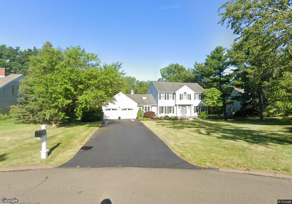
28 Fir Tree Dr N Branford, CT 06405
Estimated Value: $681,000 - $763,000
4
Beds
3
Baths
2,365
Sq Ft
$307/Sq Ft
Est. Value
About This Home
This home is located at 28 Fir Tree Dr N, Branford, CT 06405 and is currently estimated at $725,079, approximately $306 per square foot. 28 Fir Tree Dr N is a home located in New Haven County with nearby schools including Francis Walsh Intermediate School, Branford High School, and East Shoreline Catholic Academy.
Ownership History
Date
Name
Owned For
Owner Type
Purchase Details
Closed on
Jun 22, 2020
Sold by
Vescovi Laura A
Bought by
Vescovi Laura A and Vescovi Louis E
Current Estimated Value
Home Financials for this Owner
Home Financials are based on the most recent Mortgage that was taken out on this home.
Original Mortgage
$337,500
Outstanding Balance
$298,506
Interest Rate
3.2%
Mortgage Type
New Conventional
Estimated Equity
$426,573
Create a Home Valuation Report for This Property
The Home Valuation Report is an in-depth analysis detailing your home's value as well as a comparison with similar homes in the area
Home Values in the Area
Average Home Value in this Area
Purchase History
| Date | Buyer | Sale Price | Title Company |
|---|---|---|---|
| Vescovi Laura A | -- | Old Republic Title |
Source: Public Records
Mortgage History
| Date | Status | Borrower | Loan Amount |
|---|---|---|---|
| Open | Vescovi Laura A | $337,500 |
Source: Public Records
Tax History Compared to Growth
Tax History
| Year | Tax Paid | Tax Assessment Tax Assessment Total Assessment is a certain percentage of the fair market value that is determined by local assessors to be the total taxable value of land and additions on the property. | Land | Improvement |
|---|---|---|---|---|
| 2025 | $10,094 | $471,700 | $119,200 | $352,500 |
| 2024 | $9,162 | $300,600 | $104,000 | $196,600 |
| 2023 | $8,985 | $300,600 | $104,000 | $196,600 |
| 2022 | $8,853 | $300,600 | $104,000 | $196,600 |
| 2021 | $8,853 | $300,600 | $104,000 | $196,600 |
| 2020 | $8,693 | $300,600 | $104,000 | $196,600 |
| 2019 | $8,555 | $294,300 | $111,300 | $183,000 |
| 2018 | $8,429 | $294,300 | $111,300 | $183,000 |
| 2017 | $8,379 | $294,300 | $111,300 | $183,000 |
| 2016 | $8,067 | $294,300 | $111,300 | $183,000 |
| 2015 | $7,925 | $294,300 | $111,300 | $183,000 |
| 2014 | $8,082 | $308,000 | $111,300 | $196,700 |
Source: Public Records
Map
Nearby Homes
- 0 Beechwood Rd
- 155 Stony Creek Rd
- 63 Gould Ln
- 312 Leetes Island Rd
- 0 Gould Ln
- 525 E Main St Unit 33
- 525 E Main St Unit 23
- 525 E Main St Unit 56
- 525 E Main St Unit 44
- 525 E Main St Unit 8
- 15 Griffing Pond Rd
- 200 Damascus Rd
- 21 Featherbed Ln
- 11 School Ground Rd Unit TRLR 10
- 48 Meadow Wood Rd
- 10 Corbin Cir
- 12 Bowhay Hill Rd
- 8 Gaylea Dr
- 33 Thimble Farms Rd
- 29 Blackstone Ave
- 30 Fir Tree Dr N
- 26 Fir Tree Dr N
- 24 Fir Tree Dr N
- 27 Fir Tree Dr N
- 18 Wellesley Dr
- 23 Fir Tree Dr N
- 5 Wellesley Dr
- 16 Wellesley Dr
- 21 Fir Tree Dr N
- 137-153 Leetes Island Rd
- 137 Leetes Island Rd
- 2 Penn Cir
- 1 Wellesley Dr
- 29 Conifer Dr
- 14 Wellesley Dr
- 9 Penn Cir
- 35 Pepperwood Ln
- 25 Conifer Dr
- 33 Pepperwood Ln
- 10 Wellesley Dr