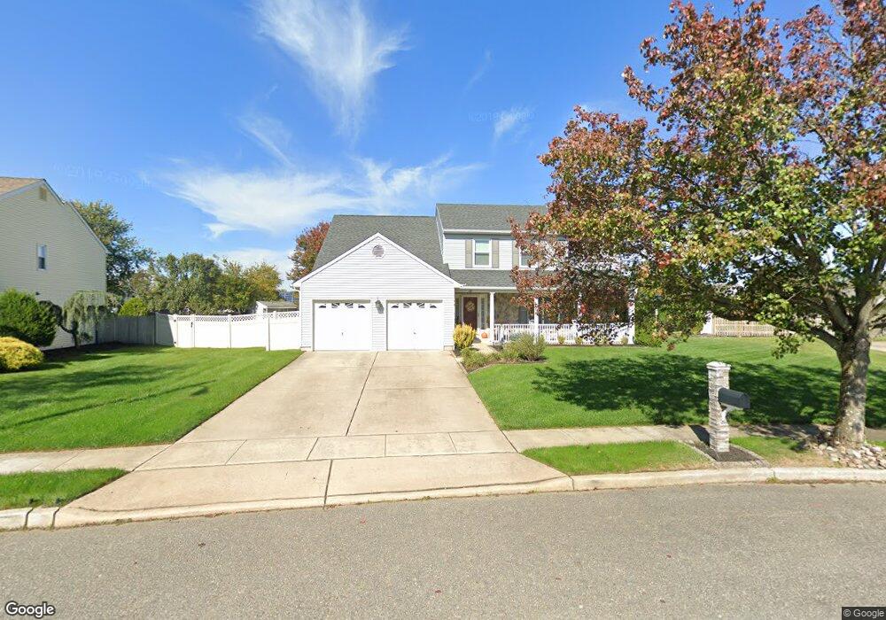
28 Jamie Dr Sewell, NJ 08080
Washington Township NeighborhoodEstimated Value: $562,000 - $632,000
--
Bed
--
Bath
2,944
Sq Ft
$205/Sq Ft
Est. Value
About This Home
This home is located at 28 Jamie Dr, Sewell, NJ 08080 and is currently estimated at $604,134, approximately $205 per square foot. 28 Jamie Dr is a home located in Gloucester County with nearby schools including Washington Township High School, Whitman Elementary School, and Bunker Hill Middle School.
Ownership History
Date
Name
Owned For
Owner Type
Purchase Details
Closed on
Apr 27, 2007
Sold by
Mellon Fred L and Mellon Mary Fran
Bought by
Maleno Anthony and Maleno Lisa
Current Estimated Value
Home Financials for this Owner
Home Financials are based on the most recent Mortgage that was taken out on this home.
Original Mortgage
$399,000
Outstanding Balance
$242,832
Interest Rate
6.18%
Mortgage Type
Purchase Money Mortgage
Estimated Equity
$361,302
Purchase Details
Closed on
Sep 30, 1994
Sold by
Paglia Rocco J
Bought by
Mellon Fred L and Mellon Mary Fran
Create a Home Valuation Report for This Property
The Home Valuation Report is an in-depth analysis detailing your home's value as well as a comparison with similar homes in the area
Home Values in the Area
Average Home Value in this Area
Purchase History
| Date | Buyer | Sale Price | Title Company |
|---|---|---|---|
| Maleno Anthony | $420,000 | Weichert Title Agency | |
| Mellon Fred L | $160,000 | -- |
Source: Public Records
Mortgage History
| Date | Status | Borrower | Loan Amount |
|---|---|---|---|
| Open | Maleno Anthony | $399,000 |
Source: Public Records
Tax History Compared to Growth
Tax History
| Year | Tax Paid | Tax Assessment Tax Assessment Total Assessment is a certain percentage of the fair market value that is determined by local assessors to be the total taxable value of land and additions on the property. | Land | Improvement |
|---|---|---|---|---|
| 2025 | $12,739 | $344,400 | $56,500 | $287,900 |
| 2024 | $12,381 | $344,400 | $56,500 | $287,900 |
| 2023 | $12,381 | $344,400 | $56,500 | $287,900 |
| 2022 | $11,975 | $344,400 | $56,500 | $287,900 |
| 2021 | $8,823 | $344,400 | $56,500 | $287,900 |
| 2020 | $11,644 | $344,400 | $56,500 | $287,900 |
| 2019 | $11,803 | $323,800 | $57,500 | $266,300 |
| 2018 | $11,670 | $323,800 | $57,500 | $266,300 |
| 2017 | $11,524 | $323,800 | $57,500 | $266,300 |
| 2016 | $11,456 | $323,800 | $57,500 | $266,300 |
| 2015 | $11,294 | $323,800 | $57,500 | $266,300 |
| 2014 | $10,938 | $323,800 | $57,500 | $266,300 |
Source: Public Records
Map
Nearby Homes
- 57 Manchester Rd
- 1607 Hawthorne Ct Unit 1607
- 1606 Hawthorne Ct Unit 6
- 64 Maple Leaf Cir
- 84 Maple Leaf Cir
- 12 Maple Leaf Cir
- 109 Fomalhaut Ave
- 1 Quail Hollow Dr
- 19 Ptolemy Ct
- 66 Haddock Dr
- 4 Corvas Ct
- 54 Libra Ln
- 28 Peacock Cir
- 33 Peacock Cir
- 10 Cardinal Ct
- 15 Dorothy Dr
- 36 Bridge Dr
- 616 Covington Ct Unit 616
- 509 Cascade Ct Unit 509
- 504 Castlebay Dr