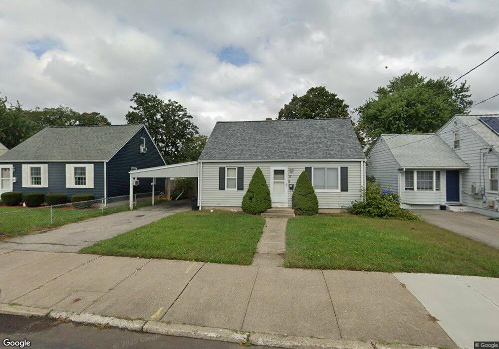
28 Lindesta Rd Pawtucket, RI 02861
Darlington NeighborhoodEstimated Value: $368,840 - $428,000
3
Beds
1
Bath
1,756
Sq Ft
$221/Sq Ft
Est. Value
About This Home
This home is located at 28 Lindesta Rd, Pawtucket, RI 02861 and is currently estimated at $387,710, approximately $220 per square foot. 28 Lindesta Rd is a home located in Providence County with nearby schools including St Cecilia School and Saint Teresa Catholic Elementary School.
Ownership History
Date
Name
Owned For
Owner Type
Purchase Details
Closed on
Jun 29, 2009
Sold by
Bosh Carol A
Bought by
Komanapalli Daniel J and Komanapalli Michelle L
Current Estimated Value
Home Financials for this Owner
Home Financials are based on the most recent Mortgage that was taken out on this home.
Original Mortgage
$133,536
Outstanding Balance
$84,689
Interest Rate
4.92%
Mortgage Type
Purchase Money Mortgage
Estimated Equity
$303,021
Purchase Details
Closed on
Nov 22, 2004
Sold by
Perkins Grace M
Bought by
Bush Carol A
Home Financials for this Owner
Home Financials are based on the most recent Mortgage that was taken out on this home.
Original Mortgage
$190,800
Interest Rate
5.8%
Mortgage Type
Purchase Money Mortgage
Create a Home Valuation Report for This Property
The Home Valuation Report is an in-depth analysis detailing your home's value as well as a comparison with similar homes in the area
Home Values in the Area
Average Home Value in this Area
Purchase History
| Date | Buyer | Sale Price | Title Company |
|---|---|---|---|
| Komanapalli Daniel J | $136,000 | -- | |
| Bush Carol A | $212,000 | -- |
Source: Public Records
Mortgage History
| Date | Status | Borrower | Loan Amount |
|---|---|---|---|
| Open | Bush Carol A | $133,536 | |
| Closed | Bush Carol A | $4,760 | |
| Closed | Bush Carol A | $2,741 | |
| Previous Owner | Bush Carol A | $190,800 |
Source: Public Records
Tax History Compared to Growth
Tax History
| Year | Tax Paid | Tax Assessment Tax Assessment Total Assessment is a certain percentage of the fair market value that is determined by local assessors to be the total taxable value of land and additions on the property. | Land | Improvement |
|---|---|---|---|---|
| 2025 | $3,700 | $281,400 | $139,000 | $142,400 |
| 2024 | $3,472 | $281,400 | $139,000 | $142,400 |
| 2023 | $3,603 | $212,700 | $82,400 | $130,300 |
| 2022 | $3,527 | $212,700 | $82,400 | $130,300 |
| 2021 | $3,527 | $212,700 | $82,400 | $130,300 |
| 2020 | $3,639 | $174,200 | $78,900 | $95,300 |
| 2019 | $3,639 | $174,200 | $78,900 | $95,300 |
| 2018 | $3,507 | $174,200 | $78,900 | $95,300 |
| 2017 | $3,176 | $139,800 | $57,100 | $82,700 |
| 2016 | $3,060 | $139,800 | $57,100 | $82,700 |
| 2015 | $3,060 | $139,800 | $57,100 | $82,700 |
| 2014 | $3,159 | $137,000 | $51,100 | $85,900 |
Source: Public Records
Map
Nearby Homes
- 228 London Ave
- 329 Pullen Ave
- 358 Orient Ave
- 133 Hanover Ave
- 119 Gregory Dr
- 126 Suffolk Ave
- 1167 Newport Ave
- 304 Hughes Ave
- 888 Central Ave
- 342 Grand Ave
- 41 Calder St
- 127 Ricard St
- 140 Robinson Ave
- 51 Benjamin St
- 84 Bellevue Ave
- 120 Rowe Ave
- 9 Makin St
- 51 Roosevelt St
- 143 Hatfield St
- 113 Oakland Ave