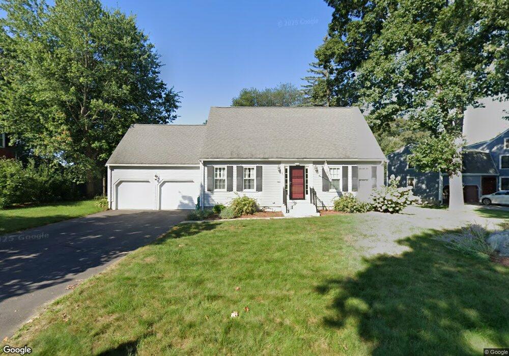
28 Maplecrest Dr Southborough, MA 01772
Estimated Value: $835,958 - $1,078,000
4
Beds
3
Baths
2,188
Sq Ft
$436/Sq Ft
Est. Value
About This Home
This home is located at 28 Maplecrest Dr, Southborough, MA 01772 and is currently estimated at $953,990, approximately $436 per square foot. 28 Maplecrest Dr is a home located in Worcester County with nearby schools including Albert S. Woodward Memorial School, Margaret A. Neary School, and P. Brent Trottier Middle School.
Ownership History
Date
Name
Owned For
Owner Type
Purchase Details
Closed on
Apr 28, 1998
Sold by
Karb Alan R and Karb Margaret C
Bought by
Carter Scott R and Carter Mary Kay
Current Estimated Value
Home Financials for this Owner
Home Financials are based on the most recent Mortgage that was taken out on this home.
Original Mortgage
$190,000
Outstanding Balance
$37,157
Interest Rate
7.11%
Mortgage Type
Purchase Money Mortgage
Estimated Equity
$916,833
Create a Home Valuation Report for This Property
The Home Valuation Report is an in-depth analysis detailing your home's value as well as a comparison with similar homes in the area
Home Values in the Area
Average Home Value in this Area
Purchase History
| Date | Buyer | Sale Price | Title Company |
|---|---|---|---|
| Carter Scott R | $315,000 | -- | |
| Carter Scott R | $315,000 | -- |
Source: Public Records
Mortgage History
| Date | Status | Borrower | Loan Amount |
|---|---|---|---|
| Open | Carter Scott R | $100,000 | |
| Open | Carter Scott R | $190,000 | |
| Closed | Carter Scott R | $190,000 |
Source: Public Records
Tax History Compared to Growth
Tax History
| Year | Tax Paid | Tax Assessment Tax Assessment Total Assessment is a certain percentage of the fair market value that is determined by local assessors to be the total taxable value of land and additions on the property. | Land | Improvement |
|---|---|---|---|---|
| 2025 | $10,359 | $750,100 | $318,100 | $432,000 |
| 2024 | $9,868 | $709,400 | $313,700 | $395,700 |
| 2023 | $9,157 | $620,400 | $296,900 | $323,500 |
| 2022 | $9,011 | $553,500 | $258,300 | $295,200 |
| 2021 | $5,958 | $552,100 | $262,700 | $289,400 |
| 2020 | $8,900 | $534,200 | $252,500 | $281,700 |
| 2019 | $3,365 | $519,000 | $239,100 | $279,900 |
| 2018 | $8,104 | $502,100 | $230,000 | $272,100 |
| 2017 | $8,305 | $507,000 | $230,000 | $277,000 |
| 2016 | $8,052 | $509,000 | $230,500 | $278,500 |
| 2015 | $7,632 | $476,400 | $216,900 | $259,500 |
Source: Public Records
Map
Nearby Homes
- 150 Framingham Rd
- 58 Framingham Rd
- 14 Wolfpen Ln
- 36 E Main St
- lot 1 Sears Rd
- Lot 2 Quinn Rd
- 146 Framingham Rd
- 58 Walker St
- 6 Witherbee Ln
- 39 Desimone Dr
- 56 Country Ln
- 392 Farm Rd
- 7 John St
- 1 Carriage Hill Cir Unit 1
- 35 Roundtop Rd
- 36 Whitelock Dr
- 00 Plymouth St
- 58 Pine Hill Rd
- 3 Madison St
- 53-55 Edinboro St
- 26 Maplecrest Dr
- 30 Maplecrest Dr
- 13 Buffalo Run
- 17 Maplecrest Dr
- 24 Maplecrest Dr
- 15 Buffalo Run
- 19 Maplecrest Dr
- 11 Buffalo Run
- 32 Maplecrest Dr
- 2 Waterview Terrace
- 22 Maplecrest Dr
- 4 Waterview Terrace
- 21 Maplecrest Dr
- 34 Pinecone Ln
- 20 Maplecrest Dr
- 6 Waterview Terrace
- 3 Waterview Terrace
- 32 Pinecone Ln
- 5 Waterview Terrace
- 1 Waterview Terrace