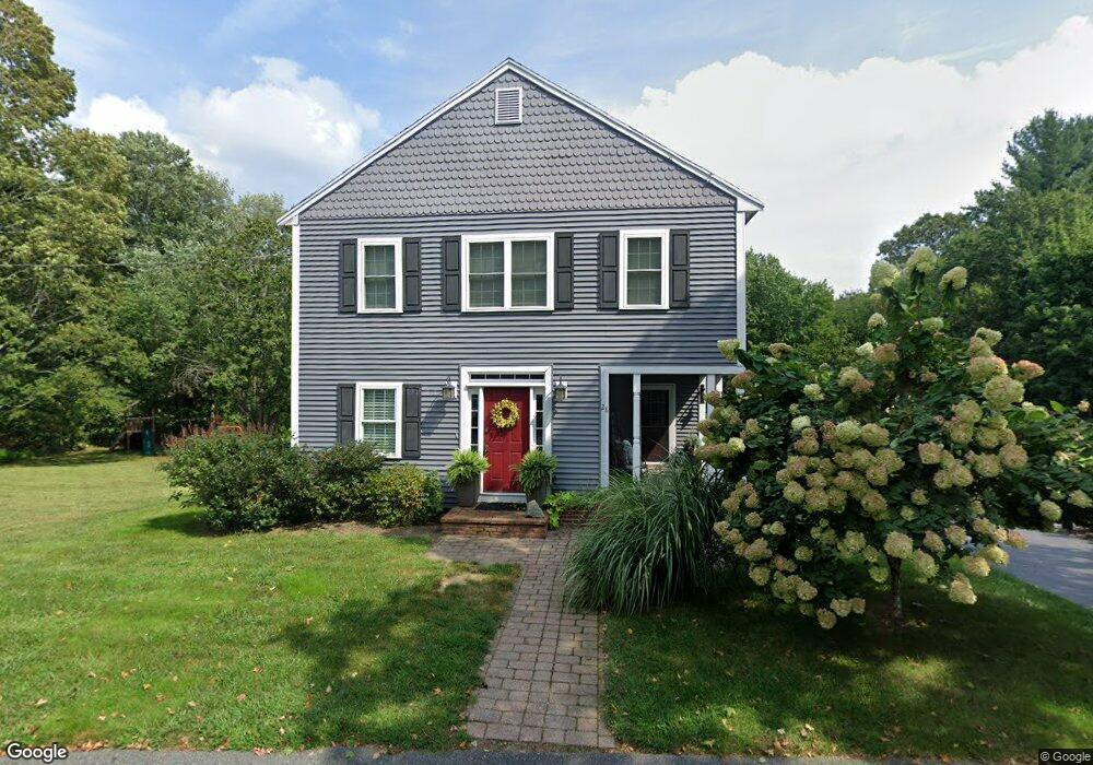
28 Norfolk Ave Medway, MA 02053
Estimated Value: $754,000 - $860,000
3
Beds
2
Baths
3,248
Sq Ft
$250/Sq Ft
Est. Value
About This Home
This home is located at 28 Norfolk Ave, Medway, MA 02053 and is currently estimated at $813,023, approximately $250 per square foot. 28 Norfolk Ave is a home located in Norfolk County with nearby schools including John D. McGovern Elementary School, Burke-Memorial Elementary, and Medway Middle School.
Ownership History
Date
Name
Owned For
Owner Type
Purchase Details
Closed on
Apr 16, 2010
Sold by
Lardin Janet M
Bought by
Johnson Paul A and Johnson Jennifer R
Current Estimated Value
Home Financials for this Owner
Home Financials are based on the most recent Mortgage that was taken out on this home.
Original Mortgage
$336,000
Outstanding Balance
$223,455
Interest Rate
4.97%
Mortgage Type
Purchase Money Mortgage
Estimated Equity
$589,568
Create a Home Valuation Report for This Property
The Home Valuation Report is an in-depth analysis detailing your home's value as well as a comparison with similar homes in the area
Home Values in the Area
Average Home Value in this Area
Purchase History
| Date | Buyer | Sale Price | Title Company |
|---|---|---|---|
| Johnson Paul A | $430,000 | -- |
Source: Public Records
Mortgage History
| Date | Status | Borrower | Loan Amount |
|---|---|---|---|
| Open | Johnson Paul A | $336,000 |
Source: Public Records
Tax History Compared to Growth
Tax History
| Year | Tax Paid | Tax Assessment Tax Assessment Total Assessment is a certain percentage of the fair market value that is determined by local assessors to be the total taxable value of land and additions on the property. | Land | Improvement |
|---|---|---|---|---|
| 2025 | $9,073 | $636,700 | $286,600 | $350,100 |
| 2024 | $9,168 | $636,700 | $286,600 | $350,100 |
| 2023 | $9,009 | $565,200 | $237,500 | $327,700 |
| 2022 | $8,736 | $516,000 | $210,900 | $305,100 |
| 2021 | $8,873 | $508,200 | $194,500 | $313,700 |
| 2020 | $8,533 | $487,600 | $180,200 | $307,400 |
| 2019 | $8,159 | $480,800 | $180,200 | $300,600 |
| 2018 | $8,240 | $466,600 | $155,600 | $311,000 |
| 2017 | $8,202 | $457,700 | $155,600 | $302,100 |
| 2016 | $7,963 | $439,700 | $137,600 | $302,100 |
| 2015 | $7,657 | $419,800 | $122,800 | $297,000 |
| 2014 | $7,915 | $420,100 | $131,000 | $289,100 |
Source: Public Records
Map
Nearby Homes
- 28 Wellington St
- 176 Main St Unit 3
- 280 Village St Unit D2
- 4 Shaw St
- 220 Main St Unit 220
- 5 Fales St
- 6 Freedom Trail
- 21 Riverside Rd
- 22 Sunset Dr
- 14 Heritage Dr
- 36 Lovering St
- 12 Lovering St
- 3 Meryl St
- 106 Holliston St
- 18 Mary Anne Dr
- 0 Elm St
- 39 West St
- 50 Main St
- 462 Hartford Ave
- 20 Broad St Unit 6
- 26 Norfolk Ave
- 27 Norfolk Ave
- 29 Norfolk Ave
- 24 Norfolk Ave
- 25 Norfolk Ave
- 22 Norfolk Ave
- 30 Norfolk Ave
- 21 Norfolk Ave
- 31 Norfolk Ave
- 1 Rolling Ln
- 19 Norfolk Ave
- 30 Lincoln St
- 18 Norfolk Ave Unit 2
- 18 Norfolk Ave Unit 1
- 32 Lincoln St
- 32 Lincoln St Unit 1
- 32 Lincoln St Unit 2
- 28 Lincoln St
- 34 Lincoln St
- 36 Lincoln St