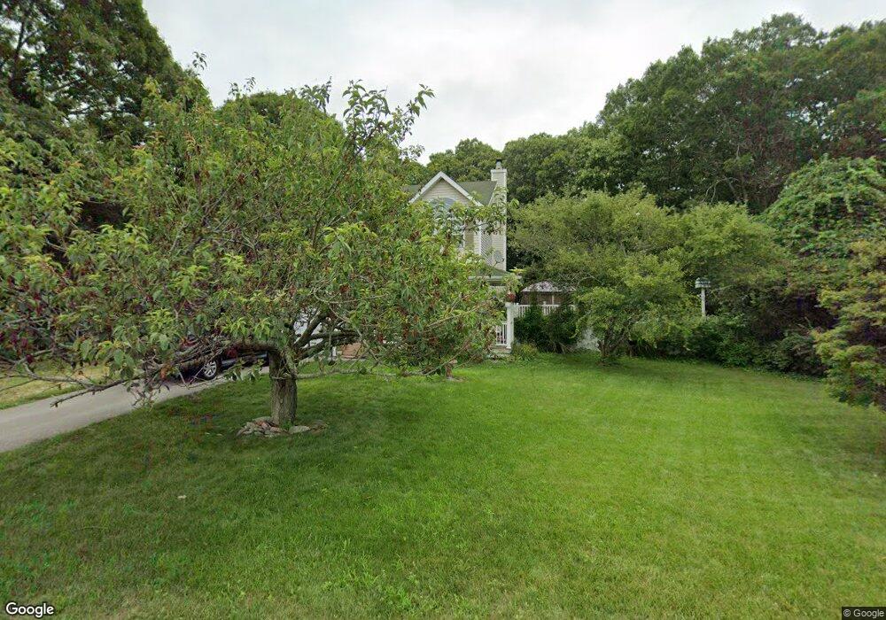
280 Frowein Rd Center Moriches, NY 11934
Estimated Value: $642,330 - $725,000
3
Beds
1
Bath
1,366
Sq Ft
$511/Sq Ft
Est. Value
About This Home
This home is located at 280 Frowein Rd, Center Moriches, NY 11934 and is currently estimated at $697,833, approximately $510 per square foot. 280 Frowein Rd is a home located in Suffolk County with nearby schools including Clayton Huey Elementary School, Center Moriches Middle School, and Center Moriches High School.
Ownership History
Date
Name
Owned For
Owner Type
Purchase Details
Closed on
Mar 19, 2002
Sold by
Sandpiper Homes Ltd
Bought by
Meehan Christian J and Meehan Tanya M
Current Estimated Value
Home Financials for this Owner
Home Financials are based on the most recent Mortgage that was taken out on this home.
Original Mortgage
$194,000
Outstanding Balance
$80,012
Interest Rate
6.88%
Estimated Equity
$617,821
Create a Home Valuation Report for This Property
The Home Valuation Report is an in-depth analysis detailing your home's value as well as a comparison with similar homes in the area
Home Values in the Area
Average Home Value in this Area
Purchase History
| Date | Buyer | Sale Price | Title Company |
|---|---|---|---|
| Meehan Christian J | $200,000 | Commonwealth Land Title Ins | |
| Sandpiper Homes Ltd | $80,000 | Commonwealth Land Title Ins |
Source: Public Records
Mortgage History
| Date | Status | Borrower | Loan Amount |
|---|---|---|---|
| Open | Sandpiper Homes Ltd | $194,000 |
Source: Public Records
Tax History Compared to Growth
Tax History
| Year | Tax Paid | Tax Assessment Tax Assessment Total Assessment is a certain percentage of the fair market value that is determined by local assessors to be the total taxable value of land and additions on the property. | Land | Improvement |
|---|---|---|---|---|
| 2024 | $12,098 | $3,100 | $300 | $2,800 |
| 2023 | $12,098 | $3,100 | $300 | $2,800 |
| 2022 | $11,025 | $3,100 | $300 | $2,800 |
| 2021 | $11,025 | $3,100 | $300 | $2,800 |
| 2020 | $11,395 | $3,100 | $300 | $2,800 |
| 2019 | $11,395 | $0 | $0 | $0 |
| 2018 | $10,755 | $3,100 | $300 | $2,800 |
| 2017 | $10,755 | $3,100 | $300 | $2,800 |
| 2016 | $10,674 | $3,100 | $300 | $2,800 |
| 2015 | -- | $3,100 | $300 | $2,800 |
| 2014 | -- | $3,100 | $300 | $2,800 |
Source: Public Records
Map
Nearby Homes
- 103 Brookfield Ave Unit B
- 103 Brookfield Ave Unit A
- 20 Tulip Ct
- 442 Main St
- 10 Smith St
- 46 Newins St
- 48 Senix Ave
- 168 Brookfield Ave
- 15 Cedar St
- 3 Lilly Ct
- 26 Clinton St
- Lot 2 Robinson St
- Lot 1 Robinson St
- 64B Senix Ave
- 7 Senic Dr
- 67 Lake Ave
- 89 Railroad Ave
- 7 Cohrs Ct
- 60 A Union Ave
- 29 Beachfern Rd