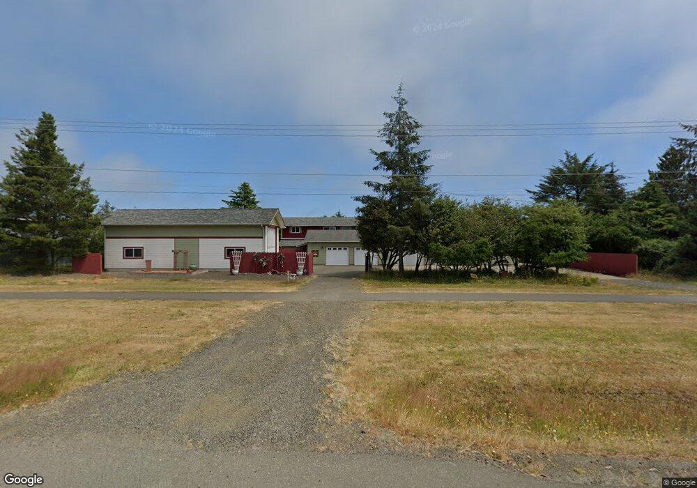
280 Point Brown Ave NE Ocean Shores, WA 98569
Estimated Value: $502,000 - $820,000
--
Bed
--
Bath
1,728
Sq Ft
$363/Sq Ft
Est. Value
About This Home
This home is located at 280 Point Brown Ave NE, Ocean Shores, WA 98569 and is currently estimated at $627,676, approximately $363 per square foot. 280 Point Brown Ave NE is a home located in Grays Harbor County with nearby schools including North Beach Junior/Senior High School.
Ownership History
Date
Name
Owned For
Owner Type
Purchase Details
Closed on
Aug 11, 2014
Sold by
Heritage Bank Trust Division
Bought by
Theurer Brenda
Current Estimated Value
Home Financials for this Owner
Home Financials are based on the most recent Mortgage that was taken out on this home.
Original Mortgage
$141,600
Outstanding Balance
$108,010
Interest Rate
4.12%
Mortgage Type
New Conventional
Estimated Equity
$519,666
Create a Home Valuation Report for This Property
The Home Valuation Report is an in-depth analysis detailing your home's value as well as a comparison with similar homes in the area
Home Values in the Area
Average Home Value in this Area
Purchase History
| Date | Buyer | Sale Price | Title Company |
|---|---|---|---|
| Theurer Brenda | $177,000 | Coast Title |
Source: Public Records
Mortgage History
| Date | Status | Borrower | Loan Amount |
|---|---|---|---|
| Open | Theurer Brenda | $141,600 |
Source: Public Records
Tax History Compared to Growth
Tax History
| Year | Tax Paid | Tax Assessment Tax Assessment Total Assessment is a certain percentage of the fair market value that is determined by local assessors to be the total taxable value of land and additions on the property. | Land | Improvement |
|---|---|---|---|---|
| 2025 | $4,423 | $698,477 | $171,000 | $527,477 |
| 2023 | $4,823 | $696,146 | $225,000 | $471,146 |
| 2022 | $4,140 | $489,749 | $150,000 | $339,749 |
| 2021 | $4,888 | $489,749 | $150,000 | $339,749 |
| 2020 | $4,646 | $473,355 | $150,000 | $323,355 |
| 2019 | $3,546 | $432,957 | $125,000 | $307,957 |
| 2018 | $2,802 | $321,964 | $100,000 | $221,964 |
| 2017 | $2,284 | $240,399 | $75,000 | $165,399 |
| 2016 | $1,928 | $191,790 | $46,750 | $145,040 |
| 2014 | -- | $162,430 | $24,500 | $137,930 |
| 2013 | -- | $181,515 | $35,000 | $146,515 |
Source: Public Records
Map
Nearby Homes
- 255 Canal Dr NE
- 213 Canal Dr NE
- 269 Ensign Ave NW
- 248 Ensign Ave NW
- 275 Canal Dr NE
- 226 Point Brown Ave NE
- 324 Mizzen Ave NW
- 285 Mast Ave NW
- 212 Point Brown Ave NE
- 237 Clover Creek Ave NW
- 247 Clover Creek Ave NW
- 262 Octopus Ave NE
- 148 N Narwhal Loop NW
- 172 N Narwhal Loop NW
- 284 Mast Ave NW
- 198 Octopus Ave NE
- 165 N Narwhal Loop NW
- 333 Canal Dr NE
- 304 Ocean Shores Blvd NW
- 198 Clover St NW
- 276 Point Brown Ave NE
- 272 Point Brown Ave NE
- 292 Point Brown Ave NE
- 266 Point Brown Ave NE
- 298 Point Brown Ave NE
- 260 Point Brown Ave NE
- 273 Point Brown Ave NW
- 280 Ensign Ave NW Unit 98569
- 281 Point Brown Ave NW
- 288 Ensign Ave NW
- 238 Canal Dr NE
- 231 Canal Dr NE
- 256 Point Brown Ave NE
- 258 Ensign Ave NW
- 227 Canal Dr NE
- 251 Canal Dr NE
- 298 Ensign Ave NW
- 221 Canal Dr NE
- 221 Canal Dr NE
- 302 Point Brown Ave NE