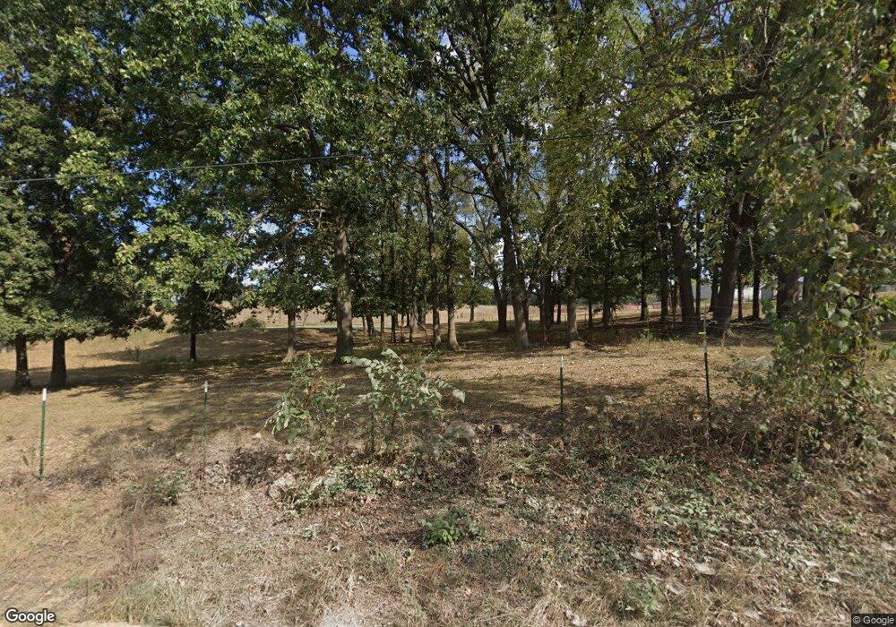
28040 Peoria Dr Lebanon, MO 65536
Estimated Value: $369,000 - $534,991
--
Bed
1
Bath
4,553
Sq Ft
$103/Sq Ft
Est. Value
About This Home
This home is located at 28040 Peoria Dr, Lebanon, MO 65536 and is currently estimated at $468,997, approximately $103 per square foot. 28040 Peoria Dr is a home located in Laclede County with nearby schools including Joe D. Esther Elementary School, Boswell Elementary School, and Maplecrest Elementary School.
Ownership History
Date
Name
Owned For
Owner Type
Purchase Details
Closed on
Aug 12, 2022
Sold by
Crocker Gary W and Crocker Lois E
Bought by
Revocable Living Trust
Current Estimated Value
Purchase Details
Closed on
Jul 12, 2022
Sold by
David Archer Isaac
Bought by
Archer Isaac David
Purchase Details
Closed on
Apr 11, 2022
Sold by
Crocker Gary W and Crocker Lois
Bought by
Archer Isaac
Home Financials for this Owner
Home Financials are based on the most recent Mortgage that was taken out on this home.
Original Mortgage
$129,400
Interest Rate
3.89%
Mortgage Type
New Conventional
Create a Home Valuation Report for This Property
The Home Valuation Report is an in-depth analysis detailing your home's value as well as a comparison with similar homes in the area
Home Values in the Area
Average Home Value in this Area
Purchase History
| Date | Buyer | Sale Price | Title Company |
|---|---|---|---|
| Revocable Living Trust | -- | Oneil & Oneil Law Offices | |
| Archer Isaac David | -- | Hogan Land Title | |
| Archer Isaac | -- | Hogan Land Title |
Source: Public Records
Mortgage History
| Date | Status | Borrower | Loan Amount |
|---|---|---|---|
| Previous Owner | Archer Isaac | $129,400 |
Source: Public Records
Tax History Compared to Growth
Tax History
| Year | Tax Paid | Tax Assessment Tax Assessment Total Assessment is a certain percentage of the fair market value that is determined by local assessors to be the total taxable value of land and additions on the property. | Land | Improvement |
|---|---|---|---|---|
| 2025 | $2,550 | $51,520 | $0 | $0 |
| 2024 | $2,550 | $46,470 | $0 | $0 |
| 2023 | $2,550 | $46,470 | $0 | $0 |
| 2022 | $2,550 | $46,470 | $0 | $0 |
| 2021 | $2,503 | $30,828 | $2,004 | $28,824 |
| 2020 | $2,513 | $30,828 | $2,004 | $28,824 |
| 2019 | $2,393 | $46,860 | $2,740 | $44,120 |
| 2018 | $1,870 | $40,850 | $2,790 | $38,060 |
| 2017 | $1,760 | $40,850 | $0 | $0 |
| 2016 | $1,760 | $40,850 | $0 | $0 |
| 2015 | $1,760 | $40,850 | $0 | $0 |
| 2014 | $1,760 | $40,870 | $0 | $0 |
| 2013 | -- | $40,870 | $0 | $0 |
Source: Public Records
Map
Nearby Homes
- TBD County Road Vv-225
- 27327 Harrill Ln
- 20448 Oakway Dr
- 19954 Ironwood Ln
- 20193 SW Oakwood Dr
- 20150 SW Oakwood Dr
- 31 Ontario Dr
- 30672 Highway Bb
- 1 Grandlake Cir
- 17 Grandlake Cir
- 2 Grandlake Cir
- 10 Grandlake Cir
- 30420 State Highway Bb
- 7994 Highway F
- 25990 Pennington Dr
- 23550 Parker Ln
- 30274 Highway Bb
- 30274 State Highway Bb
- 20198 Granger Ln
- 30871 Highway Bb
- 28350 Peoria Dr
- 21985 Hackberry Rd
- 28357 Peoria Dr
- 21712 Hackberry Rd
- 27625 Park Grove Dr
- 27680 Park Grove Dr
- 22170 Hackberry Rd
- 27706 Peoria Dr
- 27626 Park Grove Dr
- 28488 Peoria Dr
- 27582 Park Grove Dr
- 28601 Peoria Dr
- 27589 Park Grove Dr
- 27500 Peoria Dr
- 27555 Peoria Dr
- 22111 Holly Hock Ln
- 28646 Peoria Dr
- 27433 Park Grove Dr
- 27422 Harrill Ln
- 22155 Hollyhock Ln
