2808 W Crossroads Dr Bay City, MI 48706
Estimated Value: $324,000 - $402,000
4
Beds
3
Baths
2,116
Sq Ft
$179/Sq Ft
Est. Value
About This Home
This home is located at 2808 W Crossroads Dr, Bay City, MI 48706 and is currently estimated at $378,160, approximately $178 per square foot. 2808 W Crossroads Dr is a home located in Bay County with nearby schools including McAlear-Sawden Elementary School, Western Middle School, and Bay City Western High School.
Ownership History
Date
Name
Owned For
Owner Type
Purchase Details
Closed on
Jul 7, 2005
Sold by
Harold I Miller Real Estate Development
Bought by
Papajesk James G and Papajesk Veronica
Current Estimated Value
Home Financials for this Owner
Home Financials are based on the most recent Mortgage that was taken out on this home.
Original Mortgage
$200,000
Outstanding Balance
$104,605
Interest Rate
5.69%
Mortgage Type
Fannie Mae Freddie Mac
Estimated Equity
$273,555
Create a Home Valuation Report for This Property
The Home Valuation Report is an in-depth analysis detailing your home's value as well as a comparison with similar homes in the area
Home Values in the Area
Average Home Value in this Area
Purchase History
| Date | Buyer | Sale Price | Title Company |
|---|---|---|---|
| Papajesk James G | $42,000 | Fatic |
Source: Public Records
Mortgage History
| Date | Status | Borrower | Loan Amount |
|---|---|---|---|
| Open | Papajesk James G | $200,000 |
Source: Public Records
Tax History Compared to Growth
Tax History
| Year | Tax Paid | Tax Assessment Tax Assessment Total Assessment is a certain percentage of the fair market value that is determined by local assessors to be the total taxable value of land and additions on the property. | Land | Improvement |
|---|---|---|---|---|
| 2025 | $4,954 | $203,000 | $0 | $0 |
| 2024 | $2,035 | $170,200 | $0 | $0 |
| 2023 | $1,938 | $156,700 | $0 | $0 |
| 2022 | $4,515 | $134,200 | $0 | $0 |
| 2021 | $4,215 | $139,800 | $139,800 | $0 |
| 2020 | $4,154 | $126,200 | $126,200 | $0 |
| 2019 | $3,930 | $117,500 | $0 | $0 |
| 2018 | $4,008 | $123,800 | $0 | $0 |
| 2017 | $3,870 | $122,300 | $0 | $0 |
| 2016 | $3,884 | $118,500 | $0 | $118,500 |
| 2015 | $1,711 | $127,000 | $0 | $127,000 |
| 2014 | $1,711 | $115,300 | $0 | $115,300 |
Source: Public Records
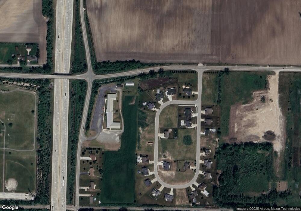
Map
Nearby Homes
- 0 Michigan Unit 50188067
- 0 Michigan Unit 50188064
- 4738 Maplewood Dr
- 4848 W Westgate Dr
- 4464 W Park Dr
- 2251 Creekmore Ln
- 2284 Midland Rd
- 3103 E Midland Rd
- 2777 E Fisher Rd
- 4700 Foxcroft Dr
- 0 S Two Mile Rd Unit 50142051
- 0 2 Mile Rd Unit 50169642
- 3226 Kiesel Rd
- 16 Cove Dr
- 12 Cove Dr
- 14 Cove Dr
- 5115 Baxman Rd
- 3077 Glenway Place
- 4543 Westfield Ct
- 3176 E Fisher Rd
- 2806 W Crossroads Dr
- 2810 W Crossroads Dr
- 2812 W Crossroads Dr
- 2805 W Crossroads Dr
- 2804 W Crossroads Dr
- 6281 Muirhead Dr W
- 2807 W Crossroads Dr
- 0 Sunset Shores - Slip #118 Unit 2171627
- 0 Michigan & Freeland Rd Unit 2151319
- 0 Michigan Unit 2140505
- 0 S Four Mile Unit 2150357
- 0 Michigan Unit 2120146
- 1 Boy Scout
- 0 S Seven Mile Unit 2130787
- 0 Michigan Unit 2141217
- 6363&6365 Golf Pointe
- 0 S Seven Mile Unit 2150231
- 0 S Seven Mile Unit 2170376
- 3555 Crossroads Restaurant
- 0 Shadows On the Green Unit 2162447