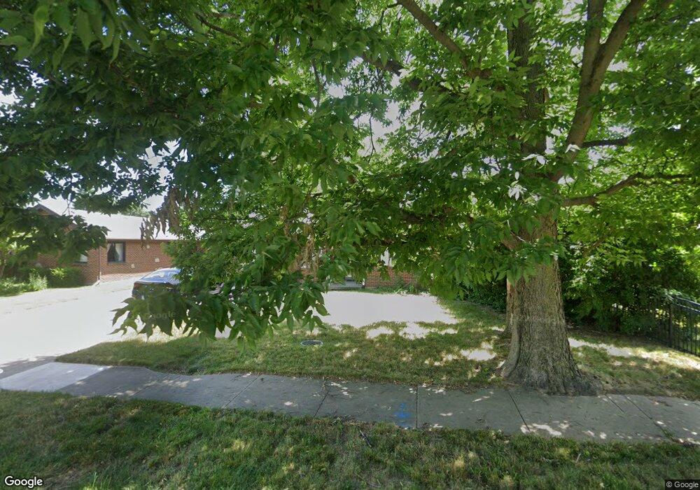
2812 Aerial Ave Dayton, OH 45419
Estimated Value: $145,000 - $209,000
2
Beds
1
Bath
941
Sq Ft
$199/Sq Ft
Est. Value
About This Home
This home is located at 2812 Aerial Ave, Dayton, OH 45419 and is currently estimated at $186,950, approximately $198 per square foot. 2812 Aerial Ave is a home located in Montgomery County with nearby schools including Orchard Park Elementary School, Van Buren Middle School, and Kettering Fairmont High School.
Ownership History
Date
Name
Owned For
Owner Type
Purchase Details
Closed on
Aug 28, 2006
Sold by
Cook Christiane M and Cook Jeffrey T
Bought by
Heffron Tamara A
Current Estimated Value
Home Financials for this Owner
Home Financials are based on the most recent Mortgage that was taken out on this home.
Original Mortgage
$115,192
Outstanding Balance
$69,965
Interest Rate
6.88%
Mortgage Type
FHA
Estimated Equity
$116,985
Purchase Details
Closed on
Feb 13, 2003
Sold by
Bergedick Celeste L
Bought by
Combs Christiane M and Cook Jeffrey T
Home Financials for this Owner
Home Financials are based on the most recent Mortgage that was taken out on this home.
Original Mortgage
$85,500
Interest Rate
5.94%
Create a Home Valuation Report for This Property
The Home Valuation Report is an in-depth analysis detailing your home's value as well as a comparison with similar homes in the area
Home Values in the Area
Average Home Value in this Area
Purchase History
| Date | Buyer | Sale Price | Title Company |
|---|---|---|---|
| Heffron Tamara A | $117,000 | Midwest Title Company | |
| Combs Christiane M | $90,000 | Hallmark Title |
Source: Public Records
Mortgage History
| Date | Status | Borrower | Loan Amount |
|---|---|---|---|
| Open | Heffron Tamara A | $115,192 | |
| Previous Owner | Combs Christiane M | $85,500 |
Source: Public Records
Tax History Compared to Growth
Tax History
| Year | Tax Paid | Tax Assessment Tax Assessment Total Assessment is a certain percentage of the fair market value that is determined by local assessors to be the total taxable value of land and additions on the property. | Land | Improvement |
|---|---|---|---|---|
| 2024 | $3,275 | $52,280 | $14,130 | $38,150 |
| 2023 | $3,275 | $52,280 | $14,130 | $38,150 |
| 2022 | $3,117 | $39,310 | $10,620 | $28,690 |
| 2021 | $2,885 | $39,310 | $10,620 | $28,690 |
| 2020 | $2,986 | $39,310 | $10,620 | $28,690 |
| 2019 | $2,541 | $30,450 | $9,650 | $20,800 |
| 2018 | $2,555 | $30,450 | $9,650 | $20,800 |
| 2017 | $2,355 | $30,450 | $9,650 | $20,800 |
| 2016 | $2,466 | $29,990 | $9,650 | $20,340 |
| 2015 | $2,358 | $29,990 | $9,650 | $20,340 |
| 2014 | $2,358 | $29,990 | $9,650 | $20,340 |
| 2012 | -- | $28,940 | $9,330 | $19,610 |
Source: Public Records
Map
Nearby Homes
- 2817 Royalston Ave
- 2701 Aerial Ave
- 651 Broad Blvd
- 663 Broad Blvd
- 709 E Dorothy Ln
- 441 Cushing Ave
- 349 Orchard Dr
- 320 Brydon Rd
- 445 Peach Orchard Ave
- 320 E Dorothy Ln
- 436 Monteray Ave
- 545 Monteray Ave
- 309 Lewiston Rd
- 2119 Shroyer Rd
- 233 E Dorothy Ln
- 235 Claranna Ave
- 2820 Wehrly Ave
- 587 Cottingwood Ct
- 2601 Oakley Ave
- 209 Brydon Rd
- 2804 Aerial Ave
- 555 East Dr
- 559 East Dr
- 2816 Aerial Ave
- 563 East Dr
- 2813 San Rae Dr
- 2809 San Rae Dr
- 2817 Aerial Ave
- 2805 San Rae Dr
- 554 Broad Blvd
- 2817 San Rae Dr
- 2800 Aerial Ave
- 2813 Aerial Ave
- 558 Broad Blvd
- 2809 Aerial Ave
- 2805 Aerial Ave
- 562 Broad Blvd
- 2825 San Rae Dr
- 522 Broad Blvd
- 566 Broad Blvd