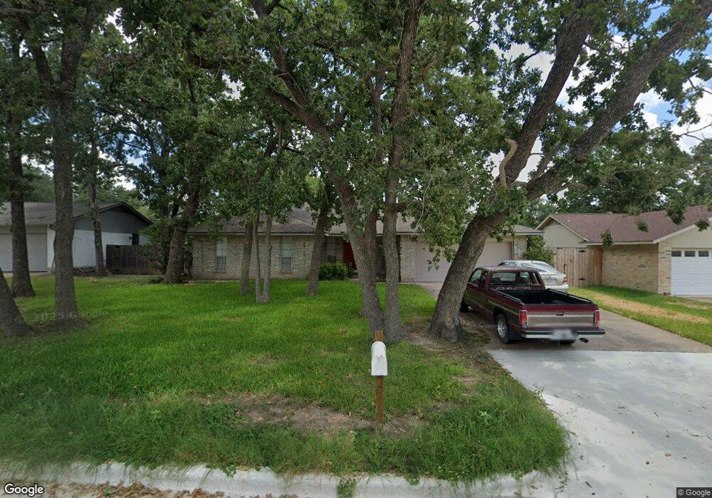
2813 Hillside Dr Bryan, TX 77802
The Oaks NeighborhoodEstimated Value: $245,000 - $283,000
3
Beds
2
Baths
1,660
Sq Ft
$160/Sq Ft
Est. Value
About This Home
This home is located at 2813 Hillside Dr, Bryan, TX 77802 and is currently estimated at $265,254, approximately $159 per square foot. 2813 Hillside Dr is a home located in Brazos County with nearby schools including Johnson Elementary School, Stephen F. Austin Middle School, and Bryan High School.
Ownership History
Date
Name
Owned For
Owner Type
Purchase Details
Closed on
Apr 13, 2010
Sold by
Parker Karen
Bought by
Daugherity Andrew Walter
Current Estimated Value
Home Financials for this Owner
Home Financials are based on the most recent Mortgage that was taken out on this home.
Original Mortgage
$121,500
Outstanding Balance
$80,561
Interest Rate
4.91%
Mortgage Type
New Conventional
Estimated Equity
$184,693
Create a Home Valuation Report for This Property
The Home Valuation Report is an in-depth analysis detailing your home's value as well as a comparison with similar homes in the area
Home Values in the Area
Average Home Value in this Area
Purchase History
| Date | Buyer | Sale Price | Title Company |
|---|---|---|---|
| Daugherity Andrew Walter | -- | University Title Company |
Source: Public Records
Mortgage History
| Date | Status | Borrower | Loan Amount |
|---|---|---|---|
| Open | Daugherity Andrew Walter | $121,500 |
Source: Public Records
Tax History Compared to Growth
Tax History
| Year | Tax Paid | Tax Assessment Tax Assessment Total Assessment is a certain percentage of the fair market value that is determined by local assessors to be the total taxable value of land and additions on the property. | Land | Improvement |
|---|---|---|---|---|
| 2025 | $3,294 | $230,077 | $83,401 | $146,676 |
| 2024 | $3,294 | $213,047 | -- | -- |
| 2023 | $3,294 | $193,679 | $0 | $0 |
| 2022 | $3,861 | $176,072 | $0 | $0 |
| 2021 | $3,772 | $160,065 | $54,490 | $105,575 |
| 2020 | $3,926 | $163,772 | $54,490 | $109,282 |
| 2019 | $3,846 | $156,650 | $54,490 | $102,160 |
| 2018 | $3,527 | $143,650 | $36,220 | $107,430 |
| 2017 | $3,305 | $134,060 | $36,220 | $97,840 |
| 2016 | $3,292 | $133,560 | $28,990 | $104,570 |
| 2015 | $2,862 | $128,060 | $28,990 | $99,070 |
| 2014 | $2,862 | $127,040 | $30,130 | $96,910 |
Source: Public Records
Map
Nearby Homes
- 2826 Oakside Dr
- 3705 Old Oaks Dr
- 3814 Valley Oaks Dr
- 4205 Bedford Ct
- 3704 Holly Dr
- 4513 Carter Creek Pkwy Unit 10
- 4509 Carter Creek Pkwy Unit 7
- 3904 Cheshire Ct
- 2300 Barak Ln
- 3614 Oak Ridge Dr
- 3808 Courtney Cir
- 2101 Barak Ln Unit 25
- 4403 Carter Creek Pkwy Unit 7
- 2132 Kazmeier Plaza
- 4345 Carter Creek Pkwy Unit 11
- 4345 Carter Creek Pkwy Unit 5
- 4345 Carter Creek Pkwy Unit 17
- 4345 Carter Creek Pkwy Unit 1
- 1011 Autumn Cir Unit AB
- 1805 Briar Oaks Dr
- 2903 Hillside Dr
- 2811 Hillside Dr
- 3522 Oakside Dr
- 2900 Oakside Dr
- 2905 Hillside Dr
- 2809 Hillside Dr
- 2902 Oakside Dr
- 3520 Oakside Dr
- 2814 Hillside Dr
- 2812 Hillside Dr
- 2902 Hillside Dr
- 2904 Oakside Dr
- 2907 Hillside Dr
- 2807 Hillside Dr
- 2810 Hillside Dr
- 2904 Hillside Dr
- 2906 Oakside Dr
- 2808 Hillside Dr
- 3519 Green Ridge Cir
- 2906 Hillside Dr