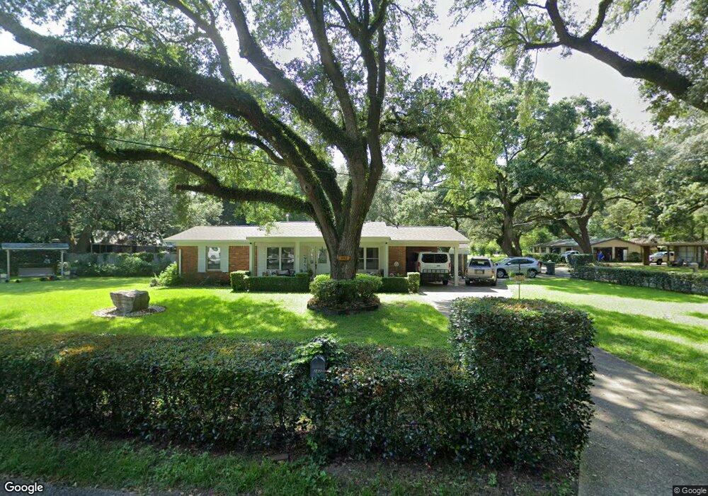
282 Saint Patrick Ave Pensacola, FL 32503
Estimated Value: $192,000 - $212,000
--
Bed
2
Baths
1,175
Sq Ft
$174/Sq Ft
Est. Value
About This Home
This home is located at 282 Saint Patrick Ave, Pensacola, FL 32503 and is currently estimated at $204,422, approximately $173 per square foot. 282 Saint Patrick Ave is a home located in Escambia County with nearby schools including Brentwood Elementary School, Ferry Pass Middle School, and Booker T. Washington High School.
Ownership History
Date
Name
Owned For
Owner Type
Purchase Details
Closed on
Jun 3, 2011
Sold by
Laberge Patricia Elizabeth and Estate Of William Clinton Youn
Bought by
Brown Rizalind B and Brown Jonathan C
Current Estimated Value
Home Financials for this Owner
Home Financials are based on the most recent Mortgage that was taken out on this home.
Original Mortgage
$68,400
Outstanding Balance
$47,506
Interest Rate
4.79%
Mortgage Type
New Conventional
Estimated Equity
$156,916
Create a Home Valuation Report for This Property
The Home Valuation Report is an in-depth analysis detailing your home's value as well as a comparison with similar homes in the area
Home Values in the Area
Average Home Value in this Area
Purchase History
| Date | Buyer | Sale Price | Title Company |
|---|---|---|---|
| Brown Rizalind B | $72,000 | Southern Guaranty Title Comp |
Source: Public Records
Mortgage History
| Date | Status | Borrower | Loan Amount |
|---|---|---|---|
| Open | Brown Rizalind B | $68,400 |
Source: Public Records
Tax History Compared to Growth
Tax History
| Year | Tax Paid | Tax Assessment Tax Assessment Total Assessment is a certain percentage of the fair market value that is determined by local assessors to be the total taxable value of land and additions on the property. | Land | Improvement |
|---|---|---|---|---|
| 2024 | $558 | $71,745 | -- | -- |
| 2023 | $558 | $69,656 | $0 | $0 |
| 2022 | $553 | $67,628 | $0 | $0 |
| 2021 | $560 | $65,659 | $0 | $0 |
| 2020 | $553 | $64,753 | $0 | $0 |
| 2019 | $549 | $63,298 | $0 | $0 |
| 2018 | $552 | $62,118 | $0 | $0 |
| 2017 | $555 | $60,841 | $0 | $0 |
| 2016 | $556 | $59,590 | $0 | $0 |
| 2015 | $536 | $59,176 | $0 | $0 |
| 2014 | $524 | $58,707 | $0 | $0 |
Source: Public Records
Map
Nearby Homes
- 272 Saint Patrick Ave
- 406 Hancock Ln
- 396 Hancock Ln
- 121 Airport Blvd
- 125 Memory Ln
- 5910 Duchess Rd
- 103 Airport Blvd
- 117 Monarch Ln
- 105 Monarch Ln
- 6410 White Oak Dr
- 6406 Antietam Dr
- 5921 Count Rd
- 679 Shiloh Dr
- 118 Czar Ln
- 40 Arthur Ln
- 6108 Walton St
- 6702 White Oak Dr
- 441 Shiloh Dr
- 110 Gettysburg Dr
- 601 E Burgess Rd Unit K11
- 280 Saint Patrick Ave
- 5905 Rawson Ln
- 283 Saint Patrick Ave
- 205 Saint Patrick Ave
- 278 Saint Patrick Ave
- 5816 Rawson Ln
- 281 Saint Patrick Ave
- 277 Saint Augustine Ave
- 5818 Rawson Ln
- 5812 Rawson Ln
- 279 Saint Patrick Ave
- 284 Airport Blvd
- 276 Saint Patrick Ave
- 282 Airport Blvd
- 5810 Rawson Ln
- 5809 Rawson Ln
- 275 Saint Augustine Ave
- 280 Airport Blvd
- 6122 Rawson Ln
- 286 Airport Blvd