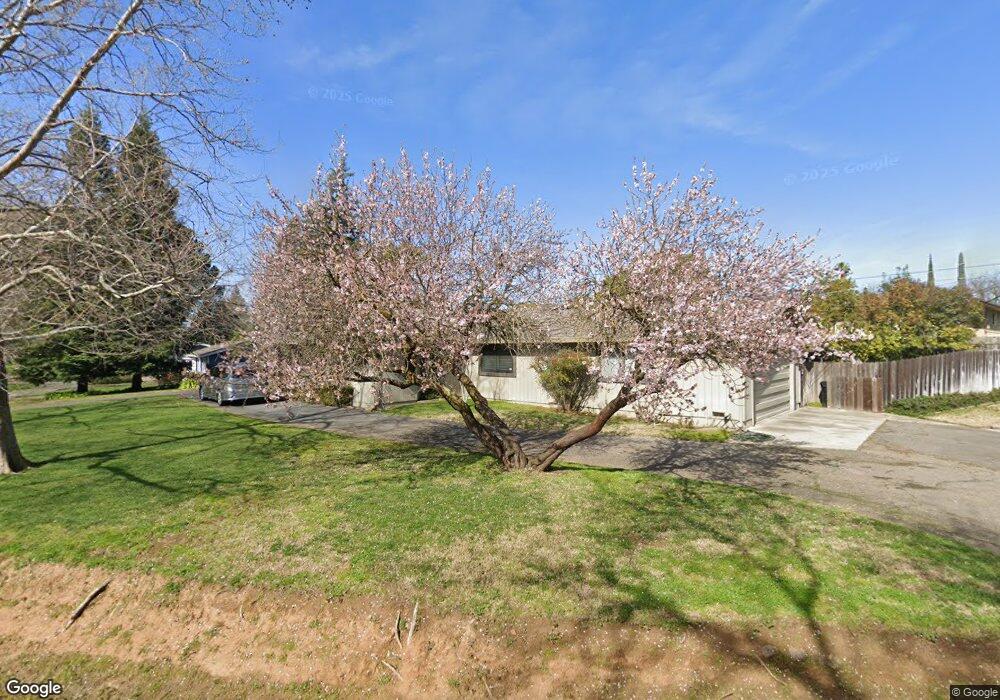
2821 Wrendale Way Sacramento, CA 95821
Greenwood NeighborhoodEstimated Value: $604,000 - $904,000
4
Beds
3
Baths
2,719
Sq Ft
$270/Sq Ft
Est. Value
About This Home
This home is located at 2821 Wrendale Way, Sacramento, CA 95821 and is currently estimated at $735,278, approximately $270 per square foot. 2821 Wrendale Way is a home located in Sacramento County with nearby schools including Starr King K-8, Rio Americano High School, and Visions In Education School.
Ownership History
Date
Name
Owned For
Owner Type
Purchase Details
Closed on
Mar 28, 2013
Sold by
Holsinger Wayne L and Holsinger Jill M
Bought by
Holsinger Wayne L and Holsinger Jill M
Current Estimated Value
Home Financials for this Owner
Home Financials are based on the most recent Mortgage that was taken out on this home.
Original Mortgage
$160,000
Interest Rate
3.54%
Mortgage Type
New Conventional
Purchase Details
Closed on
Sep 11, 2008
Sold by
Holsinger Wayne L and Holsinger Jill M
Bought by
Holsinger Wayne L and Holsinger Jill M
Create a Home Valuation Report for This Property
The Home Valuation Report is an in-depth analysis detailing your home's value as well as a comparison with similar homes in the area
Home Values in the Area
Average Home Value in this Area
Purchase History
| Date | Buyer | Sale Price | Title Company |
|---|---|---|---|
| Holsinger Wayne L | -- | First American Title Company | |
| Holsinger Wayne L | -- | First American Title Company | |
| Holsinger Wayne L | -- | None Available |
Source: Public Records
Mortgage History
| Date | Status | Borrower | Loan Amount |
|---|---|---|---|
| Closed | Holsinger Wayne L | $160,000 |
Source: Public Records
Tax History Compared to Growth
Tax History
| Year | Tax Paid | Tax Assessment Tax Assessment Total Assessment is a certain percentage of the fair market value that is determined by local assessors to be the total taxable value of land and additions on the property. | Land | Improvement |
|---|---|---|---|---|
| 2025 | $2,921 | $249,753 | $40,741 | $209,012 |
| 2024 | $2,921 | $244,857 | $39,943 | $204,914 |
| 2023 | $2,839 | $240,057 | $39,160 | $200,897 |
| 2022 | $2,821 | $235,351 | $38,393 | $196,958 |
| 2021 | $2,781 | $230,738 | $37,641 | $193,097 |
| 2020 | $2,729 | $228,374 | $37,256 | $191,118 |
| 2019 | $2,673 | $223,897 | $36,526 | $187,371 |
| 2018 | $2,637 | $219,508 | $35,810 | $183,698 |
| 2017 | $2,614 | $215,205 | $35,108 | $180,097 |
| 2016 | $2,442 | $210,986 | $34,420 | $176,566 |
| 2015 | $2,399 | $207,817 | $33,903 | $173,914 |
| 2014 | $2,347 | $203,747 | $33,239 | $170,508 |
Source: Public Records
Map
Nearby Homes
- 2953 Leta Ln
- 3113 Bertis Dr
- 4905 Douvan Ct
- 4516 McDonald Dr
- 4905 Heatherdale Ln
- 0 El Camino Ave Unit 225117105
- 4205 Lyle St
- 4213 Boone Ln
- 2610 Watson St
- 2373 Mission Ave
- 2453 Via Camino Ave
- 2800 Villa Vista Way
- 2809 Avalon Dr
- 2420 Via Camino Ave
- 4532 Foster Way
- 4601 Foster Way
- 2919 Easy Way
- 4609 Nottingham Cir
- 4912 Melvin Dr
- 3205 Mayer Way
- 4601 N Park Dr
- 2820 Wrendale Way
- 4620 Marconi Ave
- 4600 Marconi Ave
- 2806 Wrendale Way
- 2830 Wrendale Way
- 4549 N Park Dr
- 4600 N Park Dr
- 2825 Mission Ave
- 4560 Marconi Ave
- 2850 Wrendale Way
- 2801 Wrendale Way
- 4594 N Park Dr
- 2801 Mission Ave
- 2748 Wrendale Way
- 4629 Marconi Ave
- 4543 N Park Dr
- 2737 Wrendale Way
- 4542 N Park Dr
- 4529 Marconi Ave