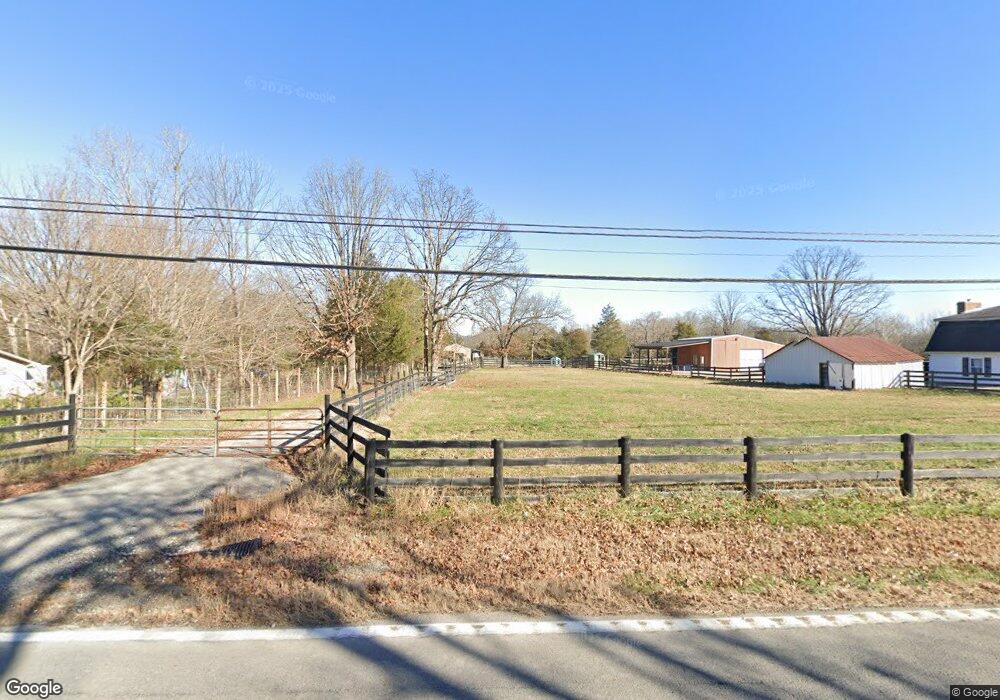
2824 Highway 44 W Shepherdsville, KY 40165
Estimated Value: $638,000 - $645,382
5
Beds
2
Baths
2,871
Sq Ft
$224/Sq Ft
Est. Value
About This Home
This home is located at 2824 Highway 44 W, Shepherdsville, KY 40165 and is currently estimated at $641,691, approximately $223 per square foot. 2824 Highway 44 W is a home located in Bullitt County with nearby schools including Shepherdsville Elementary School, Bullitt Lick Middle School, and Bullitt Central High School.
Ownership History
Date
Name
Owned For
Owner Type
Purchase Details
Closed on
Feb 7, 2024
Sold by
Mehfoud Edward Collins and Mehfoud Kathryn
Bought by
Torre Alexis
Current Estimated Value
Home Financials for this Owner
Home Financials are based on the most recent Mortgage that was taken out on this home.
Original Mortgage
$589,000
Outstanding Balance
$578,591
Interest Rate
6.61%
Mortgage Type
New Conventional
Estimated Equity
$63,100
Purchase Details
Closed on
Jun 4, 2021
Sold by
Taylor Nally Matthew
Bought by
Mehfoud Edward Collins and Slaughter-Mehfoud Kathryn
Home Financials for this Owner
Home Financials are based on the most recent Mortgage that was taken out on this home.
Original Mortgage
$413,250
Interest Rate
2.9%
Mortgage Type
New Conventional
Purchase Details
Closed on
Jan 20, 2021
Sold by
Mae Nally Shawna
Bought by
Nally Matthew Taylor
Create a Home Valuation Report for This Property
The Home Valuation Report is an in-depth analysis detailing your home's value as well as a comparison with similar homes in the area
Home Values in the Area
Average Home Value in this Area
Purchase History
| Date | Buyer | Sale Price | Title Company |
|---|---|---|---|
| Torre Alexis | $620,000 | None Listed On Document | |
| Mehfoud Edward Collins | $435,000 | Hebel & Hornung Psc | |
| Nally Matthew Taylor | -- | Man Law Office Pllc | |
| Nally Matthew Taylor | -- | -- |
Source: Public Records
Mortgage History
| Date | Status | Borrower | Loan Amount |
|---|---|---|---|
| Open | Torre Alexis | $589,000 | |
| Previous Owner | Mehfoud Edward Collins | $413,250 |
Source: Public Records
Tax History Compared to Growth
Tax History
| Year | Tax Paid | Tax Assessment Tax Assessment Total Assessment is a certain percentage of the fair market value that is determined by local assessors to be the total taxable value of land and additions on the property. | Land | Improvement |
|---|---|---|---|---|
| 2024 | $5,030 | $435,000 | $435,000 | $0 |
| 2023 | $4,995 | $435,000 | $435,000 | $0 |
| 2022 | $5,047 | $435,000 | $435,000 | $0 |
| 2021 | $2,139 | $182,253 | $0 | $0 |
| 2020 | $2,094 | $182,253 | $0 | $0 |
| 2019 | $2,058 | $182,253 | $0 | $0 |
| 2018 | $2,099 | $182,253 | $0 | $0 |
| 2017 | $2,068 | $182,253 | $0 | $0 |
| 2016 | $2,032 | $182,253 | $0 | $0 |
| 2015 | -- | $0 | $0 | $0 |
Source: Public Records
Map
Nearby Homes
- 569 Pitts Point Rd
- 515 Castleman Branch Rd
- 219 Madison Rae Blvd
- 0 Raymond Rd Unit 1698136
- 424 River Oaks Dr
- 183 River Trace
- 171 River Oaks Dr
- 265 Solomons Rd
- 200 Shady Glen Cir
- 0 W Hwy 44 Tract A2 Unit 1689233
- 502 Shady Glen Cir
- 733 Tecumseh Dr
- 889 Highway 44 W
- 685 Tecumseh Dr
- 218 Howlett Dr
- 923 Tecumseh Dr
- 980 Tecumseh Dr
- 401 Drake Dr
- 322 Mud Hen Dr
- 466 Mud Hen Dr
- 2824 Highway 44 W
- 2760 Highway 44 W
- 2560 Highway 44 W
- 2516 Highway 44 W
- 2536 Highway 44 W
- 2498 Highway 44 W
- 2589 Raymond Rd
- 2737 Raymond Rd
- 2717 Raymond Rd
- 2181 Raymond Rd
- 2374 Highway 44 W
- 2486 Kentucky 44
- 2486 Highway 44 W
- 2884 Highway 44 W
- 2914 Highway 44 W
- 2875 Raymond Rd
- 2960 Highway 44 W
- 2932 Highway 44 W
- 2629 Highway 44 W
- 2960 Kentucky 44