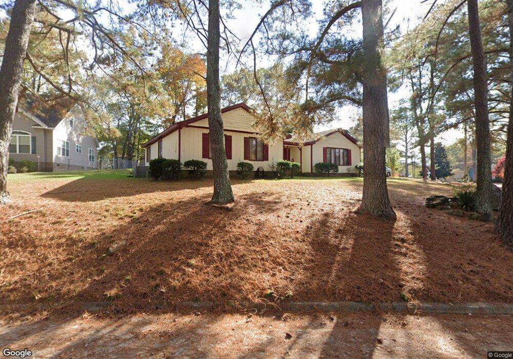
2825 Jason Dr Rocky Mount, NC 27803
Estimated Value: $224,299 - $245,000
3
Beds
2
Baths
2,237
Sq Ft
$106/Sq Ft
Est. Value
About This Home
This home is located at 2825 Jason Dr, Rocky Mount, NC 27803 and is currently estimated at $236,325, approximately $105 per square foot. 2825 Jason Dr is a home located in Nash County with nearby schools including Williford Elementary School, Winstead Avenue Elementary School, and G.R. Edwards Middle School.
Ownership History
Date
Name
Owned For
Owner Type
Purchase Details
Closed on
Nov 9, 2010
Sold by
Mancari Anthony C and Mancari Barbara
Bought by
Britt Bobby Ray and Britt Tonya Outlaw
Current Estimated Value
Home Financials for this Owner
Home Financials are based on the most recent Mortgage that was taken out on this home.
Original Mortgage
$121,343
Outstanding Balance
$79,665
Interest Rate
4.25%
Mortgage Type
FHA
Estimated Equity
$156,660
Purchase Details
Closed on
Aug 1, 2006
Sold by
Pridgen Melbourne H and Pridgen Diana T
Bought by
Mancari Anthony C and Mancari Barbara
Home Financials for this Owner
Home Financials are based on the most recent Mortgage that was taken out on this home.
Original Mortgage
$140,488
Interest Rate
6.68%
Mortgage Type
VA
Create a Home Valuation Report for This Property
The Home Valuation Report is an in-depth analysis detailing your home's value as well as a comparison with similar homes in the area
Home Values in the Area
Average Home Value in this Area
Purchase History
| Date | Buyer | Sale Price | Title Company |
|---|---|---|---|
| Britt Bobby Ray | $125,000 | None Available | |
| Mancari Anthony C | $136,000 | None Available |
Source: Public Records
Mortgage History
| Date | Status | Borrower | Loan Amount |
|---|---|---|---|
| Open | Britt Bobby Ray | $121,343 | |
| Previous Owner | Mancari Anthony C | $140,488 |
Source: Public Records
Tax History Compared to Growth
Tax History
| Year | Tax Paid | Tax Assessment Tax Assessment Total Assessment is a certain percentage of the fair market value that is determined by local assessors to be the total taxable value of land and additions on the property. | Land | Improvement |
|---|---|---|---|---|
| 2025 | $1,189 | $188,790 | $27,800 | $160,990 |
| 2024 | $1,189 | $111,830 | $25,020 | $86,810 |
| 2023 | $749 | $111,830 | $0 | $0 |
| 2022 | $776 | $111,830 | $25,020 | $86,810 |
| 2021 | $751 | $111,830 | $25,020 | $86,810 |
| 2020 | $751 | $111,830 | $25,020 | $86,810 |
| 2019 | $751 | $111,830 | $25,020 | $86,810 |
| 2018 | $751 | $111,830 | $0 | $0 |
| 2017 | $751 | $111,830 | $0 | $0 |
| 2015 | $911 | $135,606 | $0 | $0 |
| 2014 | $797 | $135,606 | $0 | $0 |
Source: Public Records
Map
Nearby Homes
- 2720 Buff Rd
- 11 Joyner Park Dr
- 15 Joyner Park Dr
- 13 Joyner Park Dr
- 17 Joyner Park Dr
- 3009 Wellington Dr
- 512 Drexel Rd
- 2912 Ridgecrest Dr
- 1126 Weathervane Hill Dr
- 711 Weathervane Way
- 3108 Ridgecrest Dr
- 1012 Turnstone Dr
- 2813 Amherst Rd
- 1921 Bethlehem Rd
- 600 Nichole Ln
- 106 Jennings Ct
- 000 Sandburg
- 616 Chad St
- 000 Beechwood Dr
- 3232 Amherst Rd