28280 Mamroe Landing Rd Sturgis, MI 49091
Estimated Value: $159,000 - $266,000
--
Bed
--
Bath
1,566
Sq Ft
$127/Sq Ft
Est. Value
About This Home
This home is located at 28280 Mamroe Landing Rd, Sturgis, MI 49091 and is currently estimated at $199,415, approximately $127 per square foot. 28280 Mamroe Landing Rd is a home located in St. Joseph County with nearby schools including Sturgis High School and St John's Lutheran School.
Ownership History
Date
Name
Owned For
Owner Type
Purchase Details
Closed on
Nov 9, 2018
Sold by
Dillen Jerid
Bought by
Thelma M Dillen Trust
Current Estimated Value
Purchase Details
Closed on
Sep 3, 2013
Sold by
Dillen Harold
Bought by
Dillen Harold
Purchase Details
Closed on
Sep 5, 1996
Sold by
Lahmeyer Carmen E
Bought by
Dillen Sharilyn K
Purchase Details
Closed on
Dec 20, 1995
Sold by
Lahmeyer Carmen E and Lahmeyer Bruce C
Bought by
Lahmeyer Carmen E and Killen Sharilyn
Purchase Details
Closed on
Apr 9, 1985
Create a Home Valuation Report for This Property
The Home Valuation Report is an in-depth analysis detailing your home's value as well as a comparison with similar homes in the area
Home Values in the Area
Average Home Value in this Area
Purchase History
| Date | Buyer | Sale Price | Title Company |
|---|---|---|---|
| Thelma M Dillen Trust | $40,000 | None Available | |
| Dillen Harold | -- | Vt | |
| Dillen Sharilyn K | -- | -- | |
| Lahmeyer Carmen E | -- | -- | |
| -- | -- | -- |
Source: Public Records
Tax History Compared to Growth
Tax History
| Year | Tax Paid | Tax Assessment Tax Assessment Total Assessment is a certain percentage of the fair market value that is determined by local assessors to be the total taxable value of land and additions on the property. | Land | Improvement |
|---|---|---|---|---|
| 2025 | $1,122 | $56,000 | $26,500 | $29,500 |
| 2024 | $247 | $46,200 | $26,500 | $19,700 |
| 2023 | $236 | $37,300 | $18,700 | $18,600 |
| 2022 | $0 | $35,200 | $18,700 | $16,500 |
| 2021 | $993 | $34,300 | $18,700 | $15,600 |
| 2020 | $982 | $31,100 | $17,800 | $13,300 |
| 2019 | $964 | $42,600 | $17,300 | $25,300 |
| 2018 | $1,122 | $41,200 | $17,300 | $23,900 |
| 2017 | $1,158 | $41,400 | $41,400 | $0 |
| 2016 | -- | $43,400 | $43,400 | $0 |
| 2015 | -- | $41,400 | $0 | $0 |
| 2014 | -- | $43,100 | $43,100 | $0 |
| 2012 | -- | $48,900 | $48,900 | $0 |
Source: Public Records
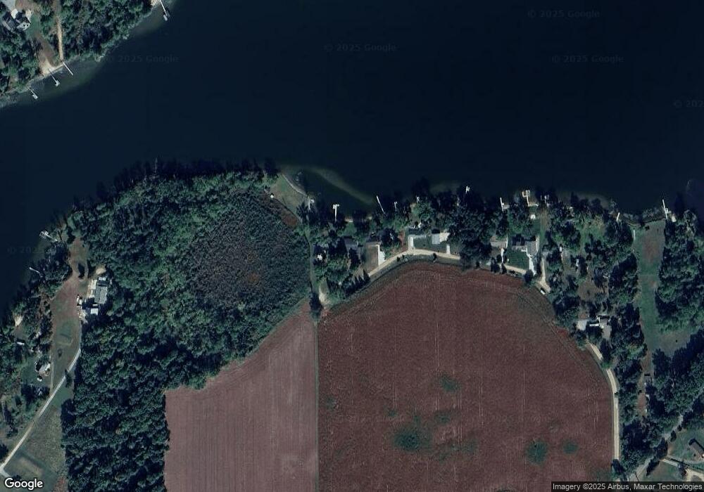
Map
Nearby Homes
- 28195 Blackberry Ln
- V/L White Pine Dr
- 27810 Maystead Rd
- 0 V L M66- 102+ - Unit 24045986
- 66223 Grey Lake Rd
- 28123 Timberly Dr
- 27304 Oak Dr
- 66109 Hideaway Ln
- 1100 Sherwood Forrest Trail
- V/L Banker St
- 708 N Centerville Rd
- 814 N Lakeview Ave
- 612 N Prospect St
- 610 N Prospect St
- 609 Sturgis St
- 607 George St
- 502 E Jerolene St
- 805 N Nottawa St
- 418 Center Ave
- 404 Susan Ave
- 28270 Mamroe Landing Rd
- 28292 Mamroe Landing Rd
- 28324 Mamroe Landing Rd
- 28340 Mamroe Landing Rd
- 28368 Mamroe Landing Rd
- 28382 Mamroe Landing Rd
- Lot 4 Mamroe Landing Rd
- 28416 Mamroe Landing Rd
- 64844 White Pine Dr
- 28265 Blackberry Ln
- 28221 Blackberry Ln
- 64886 White Pine Dr
- 28153 Blackberry Ln
- 28171 Blackberry Ln
- 28551 Maystead Rd
- 27961 Maystead Rd
- 27961 Maystead Rd
- 27961 Maystead Rd
- 27961 Maystead Rd
- 27961 Maystead Rd