28368 Mamroe Landing Rd Sturgis, MI 49091
Estimated Value: $245,532 - $311,000
--
Bed
--
Bath
1,784
Sq Ft
$157/Sq Ft
Est. Value
About This Home
This home is located at 28368 Mamroe Landing Rd, Sturgis, MI 49091 and is currently estimated at $280,883, approximately $157 per square foot. 28368 Mamroe Landing Rd is a home located in St. Joseph County with nearby schools including Sturgis High School, Lake Area Christian School, and St John's Lutheran School.
Ownership History
Date
Name
Owned For
Owner Type
Purchase Details
Closed on
Aug 30, 2000
Sold by
Grigsby Chadwick
Bought by
Boss James E and Boss Ruth A
Current Estimated Value
Purchase Details
Closed on
Aug 11, 1999
Sold by
Krontz Jack D and Krontz Judith A
Bought by
Grigsby Chadwick and Jordan Alexandra
Purchase Details
Closed on
Sep 3, 1993
Sold by
Rodriguez George A and Rodriguez Patrica A
Bought by
Krontz Jack D and Krontz Judith A
Create a Home Valuation Report for This Property
The Home Valuation Report is an in-depth analysis detailing your home's value as well as a comparison with similar homes in the area
Home Values in the Area
Average Home Value in this Area
Purchase History
| Date | Buyer | Sale Price | Title Company |
|---|---|---|---|
| Boss James E | $125,000 | -- | |
| Grigsby Chadwick | $105,000 | -- | |
| Krontz Jack D | $57,000 | -- |
Source: Public Records
Tax History Compared to Growth
Tax History
| Year | Tax Paid | Tax Assessment Tax Assessment Total Assessment is a certain percentage of the fair market value that is determined by local assessors to be the total taxable value of land and additions on the property. | Land | Improvement |
|---|---|---|---|---|
| 2025 | $3,085 | $118,200 | $15,000 | $103,200 |
| 2024 | $680 | $105,900 | $15,000 | $90,900 |
| 2023 | $648 | $96,600 | $10,600 | $86,000 |
| 2022 | $0 | $86,900 | $10,600 | $76,300 |
| 2021 | $2,730 | $76,300 | $10,600 | $65,700 |
| 2020 | $2,699 | $71,600 | $10,100 | $61,500 |
| 2019 | $2,648 | $60,400 | $9,800 | $50,600 |
| 2018 | $2,427 | $59,500 | $9,800 | $49,700 |
| 2017 | $2,416 | $54,400 | $54,400 | $0 |
| 2016 | -- | $52,100 | $52,100 | $0 |
| 2015 | -- | $56,200 | $0 | $0 |
| 2014 | -- | $62,600 | $62,600 | $0 |
| 2012 | -- | $58,000 | $58,000 | $0 |
Source: Public Records
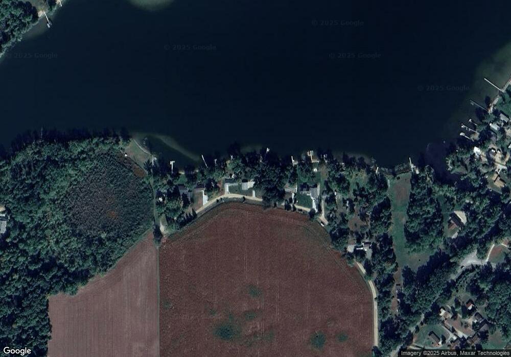
Map
Nearby Homes
- 28195 Blackberry Ln
- V/L White Pine Dr
- 27810 Maystead Rd
- 0 V L M66- 102+ - Unit 24045986
- 66223 Grey Lake Rd
- 28123 Timberly Dr
- 27304 Oak Dr
- 66109 Hideaway Ln
- 1100 Sherwood Forrest Trail
- 708 N Centerville Rd
- V/L Banker St
- 814 N Lakeview Ave
- 612 N Prospect St
- 610 N Prospect St
- 609 Sturgis St
- 502 E Jerolene St
- 607 George St
- 805 N Nottawa St
- 418 Center Ave
- 404 Susan Ave
- 28340 Mamroe Landing Rd
- 28382 Mamroe Landing Rd
- 28324 Mamroe Landing Rd
- Lot 4 Mamroe Landing Rd
- 28416 Mamroe Landing Rd
- 28292 Mamroe Landing Rd
- 28280 Mamroe Landing Rd
- 28270 Mamroe Landing Rd
- 28551 Maystead Rd
- 64816 Prairie River Rd
- 64872 Prairie River Rd
- 64808 Prairie River Rd
- 64820 Prairie River Rd
- 28265 Blackberry Ln
- 64860 Prairie River Rd
- 28221 Blackberry Ln
- 64844 White Pine Dr
- 28153 Blackberry Ln
- 27961 Maystead Rd
- 27961 Maystead Rd