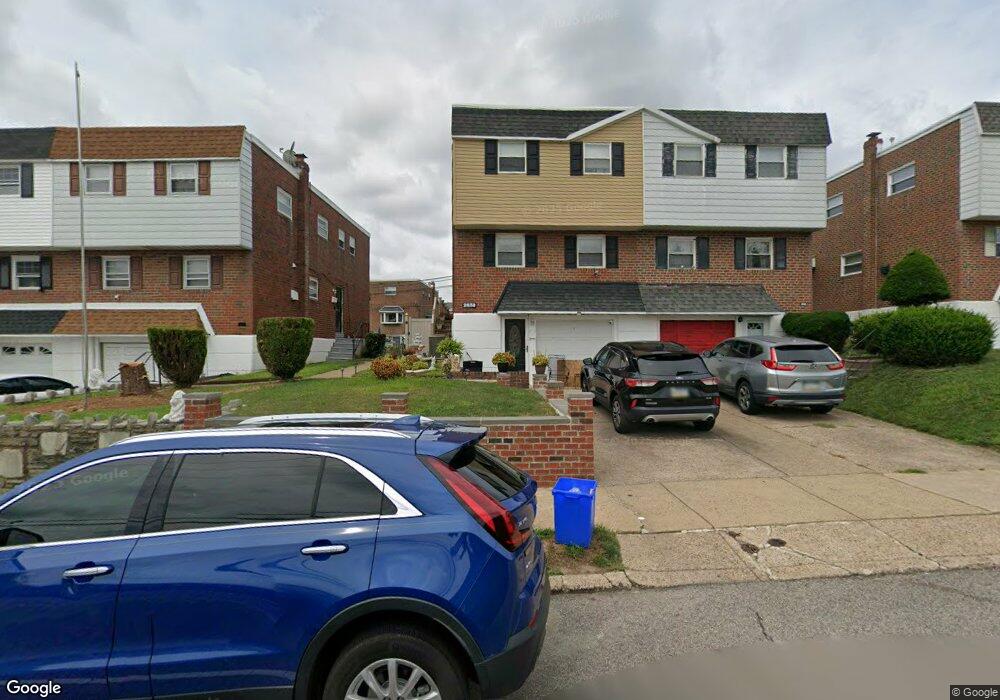
2838 Welsh Rd Philadelphia, PA 19152
Pennypack NeighborhoodEstimated Value: $312,000 - $364,000
--
Bed
--
Bath
1,320
Sq Ft
$257/Sq Ft
Est. Value
About This Home
This home is located at 2838 Welsh Rd, Philadelphia, PA 19152 and is currently estimated at $338,910, approximately $256 per square foot. 2838 Welsh Rd is a home with nearby schools including Lincoln High School, Robert B. Pollock School, and Meehan Austin Middle School.
Ownership History
Date
Name
Owned For
Owner Type
Purchase Details
Closed on
Oct 16, 2024
Sold by
Mitchell Brad
Bought by
Mitchell Brad R and Mitchell Joan M
Current Estimated Value
Purchase Details
Closed on
May 8, 2002
Sold by
Messina Philomena T
Bought by
Mitchell Brad
Home Financials for this Owner
Home Financials are based on the most recent Mortgage that was taken out on this home.
Original Mortgage
$96,000
Interest Rate
7.01%
Create a Home Valuation Report for This Property
The Home Valuation Report is an in-depth analysis detailing your home's value as well as a comparison with similar homes in the area
Home Values in the Area
Average Home Value in this Area
Purchase History
| Date | Buyer | Sale Price | Title Company |
|---|---|---|---|
| Mitchell Brad R | -- | None Listed On Document | |
| Mitchell Brad | $120,000 | -- |
Source: Public Records
Mortgage History
| Date | Status | Borrower | Loan Amount |
|---|---|---|---|
| Previous Owner | Mitchell Brad | $96,000 |
Source: Public Records
Tax History Compared to Growth
Tax History
| Year | Tax Paid | Tax Assessment Tax Assessment Total Assessment is a certain percentage of the fair market value that is determined by local assessors to be the total taxable value of land and additions on the property. | Land | Improvement |
|---|---|---|---|---|
| 2025 | $3,315 | $297,600 | $59,520 | $238,080 |
| 2024 | $3,315 | $297,600 | $59,520 | $238,080 |
| 2023 | $3,315 | $236,800 | $47,360 | $189,440 |
| 2022 | $2,685 | $191,800 | $47,360 | $144,440 |
| 2021 | $2,847 | $0 | $0 | $0 |
| 2020 | $2,847 | $0 | $0 | $0 |
| 2019 | $2,681 | $0 | $0 | $0 |
| 2018 | $2,462 | $0 | $0 | $0 |
| 2017 | $2,462 | $0 | $0 | $0 |
| 2016 | $2,042 | $0 | $0 | $0 |
| 2015 | $1,955 | $0 | $0 | $0 |
| 2014 | -- | $175,900 | $53,684 | $122,216 |
| 2012 | -- | $24,032 | $3,669 | $20,363 |
Source: Public Records
Map
Nearby Homes
- 2876 Walnut Hill St
- 2817 Walnut Hill St Unit A
- 2759 Axe Factory Rd
- 4R & 6 Old Ashton Rd
- 2713 Clayton St
- 2740 Mower St
- 2831 Chase Rd
- 8718 Hargrave St
- 2831 Sebring Rd
- 2949 Joey Dr
- 2934 Walnut Hill St
- 2738 Maxwell St
- 8803 Manchester St
- 2711 Winchester Ave
- 2742 Welsh Rd
- 8860 Manchester St
- 8200 Colfax St
- 2633 Maxwell St
- 8817 R Danbury St
- 2777 Welsh Rd
- 2836 Welsh Rd
- 2840 Welsh Rd
- 2834 Welsh Rd
- 2842 Welsh Rd
- 2832 Welsh Rd
- 2830 Welsh Rd
- 2844 Welsh Rd
- 2846 Welsh Rd
- 2843 Walnut Hill St
- 2841 Walnut Hill St
- 2828 Welsh Rd
- 2845 Walnut Hill St
- 2839 Walnut Hill St
- 2847 Walnut Hill St
- 2848 Welsh Rd
- 2849 Walnut Hill St
- 2835 Walnut Hill St
- 2833 Walnut Hill St
- 2851 Walnut Hill St
- 2850 Welsh Rd