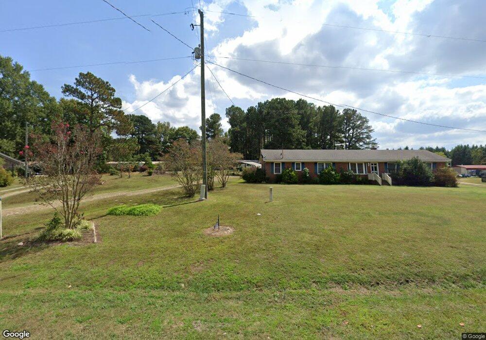
2844 Nc 561 Hwy Louisburg, NC 27549
Estimated Value: $182,000 - $265,000
3
Beds
2
Baths
1,400
Sq Ft
$167/Sq Ft
Est. Value
About This Home
This home is located at 2844 Nc 561 Hwy, Louisburg, NC 27549 and is currently estimated at $233,149, approximately $166 per square foot. 2844 Nc 561 Hwy is a home located in Franklin County with nearby schools including Laurel Mill Elementary School, Terrell Lane Middle School, and Louisburg High School.
Ownership History
Date
Name
Owned For
Owner Type
Purchase Details
Closed on
Dec 29, 2022
Sold by
Holder Vickie B and Holder Terry
Bought by
Holder Christopher Brian
Current Estimated Value
Home Financials for this Owner
Home Financials are based on the most recent Mortgage that was taken out on this home.
Original Mortgage
$152,000
Outstanding Balance
$146,307
Interest Rate
5.9%
Mortgage Type
New Conventional
Estimated Equity
$86,842
Purchase Details
Closed on
Feb 9, 2012
Sold by
Faucette Undine C
Bought by
Holder Vickie B and Burnette Wayne
Create a Home Valuation Report for This Property
The Home Valuation Report is an in-depth analysis detailing your home's value as well as a comparison with similar homes in the area
Home Values in the Area
Average Home Value in this Area
Purchase History
| Date | Buyer | Sale Price | Title Company |
|---|---|---|---|
| Holder Christopher Brian | -- | -- | |
| Holder Vickie B | -- | None Available |
Source: Public Records
Mortgage History
| Date | Status | Borrower | Loan Amount |
|---|---|---|---|
| Open | Holder Christopher Brian | $152,000 |
Source: Public Records
Tax History Compared to Growth
Tax History
| Year | Tax Paid | Tax Assessment Tax Assessment Total Assessment is a certain percentage of the fair market value that is determined by local assessors to be the total taxable value of land and additions on the property. | Land | Improvement |
|---|---|---|---|---|
| 2025 | $1,205 | $193,720 | $32,760 | $160,960 |
| 2024 | $1,205 | $193,720 | $32,760 | $160,960 |
| 2023 | $840 | $86,375 | $14,025 | $72,350 |
| 2022 | $830 | $86,375 | $14,025 | $72,350 |
| 2021 | $372 | $86,375 | $14,025 | $72,350 |
| 2020 | $374 | $86,375 | $14,025 | $72,350 |
| 2019 | $374 | $86,375 | $14,025 | $72,350 |
| 2018 | $828 | $86,375 | $14,025 | $72,350 |
| 2017 | $676 | $62,670 | $12,750 | $49,920 |
| 2016 | $697 | $62,670 | $12,750 | $49,920 |
| 2015 | $697 | $62,670 | $12,750 | $49,920 |
| 2014 | $639 | $62,670 | $12,750 | $49,920 |
Source: Public Records
Map
Nearby Homes
- 2329 N Carolina 561
- 09 Tillery Dr
- 592 Perdues Rd
- 11 Tillery Dr
- 08 Tillery Dr
- 06 Tillery Dr
- 376 T K Allen Rd
- 348 Raymond Tharrington Rd
- 317 Brewer Rd
- 620 Raymond Tharrington Rd
- 0 Shortleaf Dr Unit 10119597
- 4.29 Acres Leonard Rd
- 9.56 Acres Leonard Rd
- 0 Wood Rd
- 45 Leisure Ln
- 55 Leisure Ln
- 70 Leisure Ln
- 15 Gina Lee Terrace
- Cypress Springs Dr
- 0 Cypress Creek Dr
- 2830 Nc 561 Hwy
- 2850 Nc 561 Hwy
- 2814 Nc 561 Hwy
- 2845 Nc 561 Hwy
- 2845 Nc 561 Hwy
- 2817 Nc 561 Hwy
- 2802 Nc 561 Hwy
- 2860 Nc 561 Hwy
- 2884 Nc 561 Hwy
- 2884 N Carolina 561
- 2744 Nc 561 Hwy
- 110 Hight Rd
- 144 Hight Rd
- 62 Graham Burnette Ln
- 62 Graham Burnette Ln
- 0 Hight Rd Unit 1938359
- 0 Hight Rd Unit 1938365
- 0 Hight Rd Unit 1959109
- 0 Hight Rd Unit 1945748
- 0 Hight Rd Unit 1956537