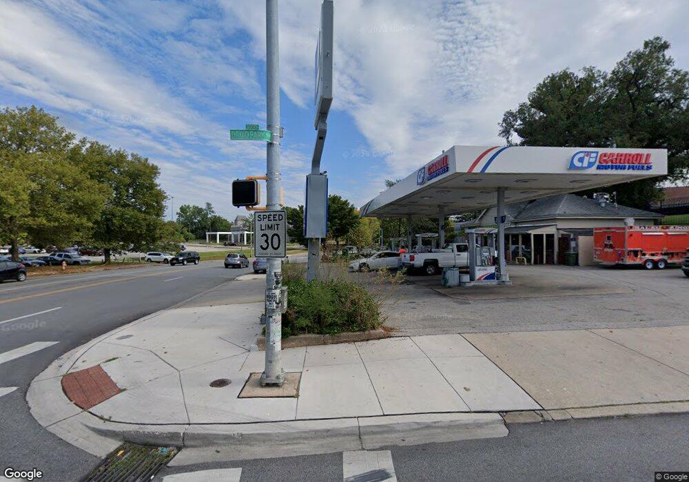
2850 Liberty Heights Ave Baltimore, MD 21215
Liberty Square NeighborhoodEstimated Value: $1,738,907
--
Bed
--
Bath
1,593
Sq Ft
$1,092/Sq Ft
Est. Value
About This Home
This home is located at 2850 Liberty Heights Ave, Baltimore, MD 21215 and is currently estimated at $1,738,907, approximately $1,091 per square foot. 2850 Liberty Heights Ave is a home located in Baltimore City with nearby schools including Gwynns Falls Elementary, Booker T. Washington Middle School, and Frederick Douglass High School.
Ownership History
Date
Name
Owned For
Owner Type
Purchase Details
Closed on
Mar 27, 2006
Sold by
Amoco Oil Company
Bought by
Dtss Llc
Current Estimated Value
Home Financials for this Owner
Home Financials are based on the most recent Mortgage that was taken out on this home.
Original Mortgage
$394,250
Outstanding Balance
$226,300
Interest Rate
6.34%
Estimated Equity
$1,512,607
Create a Home Valuation Report for This Property
The Home Valuation Report is an in-depth analysis detailing your home's value as well as a comparison with similar homes in the area
Home Values in the Area
Average Home Value in this Area
Purchase History
| Date | Buyer | Sale Price | Title Company |
|---|---|---|---|
| Dtss Llc | $768,436 | -- |
Source: Public Records
Mortgage History
| Date | Status | Borrower | Loan Amount |
|---|---|---|---|
| Open | Dtss Llc | $394,250 |
Source: Public Records
Tax History Compared to Growth
Tax History
| Year | Tax Paid | Tax Assessment Tax Assessment Total Assessment is a certain percentage of the fair market value that is determined by local assessors to be the total taxable value of land and additions on the property. | Land | Improvement |
|---|---|---|---|---|
| 2025 | $19,408 | $835,900 | $506,300 | $329,600 |
| 2024 | $19,408 | $826,300 | $0 | $0 |
| 2023 | $19,274 | $816,700 | $0 | $0 |
| 2022 | $19,048 | $807,100 | $506,300 | $300,800 |
| 2021 | $19,048 | $807,100 | $506,300 | $300,800 |
| 2020 | $19,048 | $807,100 | $506,300 | $300,800 |
| 2019 | $19,236 | $819,000 | $506,300 | $312,700 |
| 2018 | $19,092 | $808,967 | $0 | $0 |
| 2017 | $18,855 | $798,933 | $0 | $0 |
| 2016 | $16,877 | $788,900 | $0 | $0 |
| 2015 | $16,877 | $763,433 | $0 | $0 |
| 2014 | $16,877 | $737,967 | $0 | $0 |
Source: Public Records
Map
Nearby Homes
- 3412 Wabash Ave
- 3502 Dennlyn Rd
- 2519 Liberty Heights Ave
- 2306 Wichita Ave
- 2320 Anoka Ave
- 3104 Tioga Pkwy
- 3536 Overview Rd
- 2800 Suffolk Ave
- 3501 Lynchester Rd
- 3014 Tioga Pkwy
- 2808 Norfolk Ave
- 3429 Reisterstown Rd
- 3516 Reisterstown Rd
- 3306 N Hilton St Unit 202
- 2902 Rockrose Ave
- 2915 Violet Ave
- 3012 Hanlon Ave
- 3032 Hanlon Ave
- 3208 Yosemite Ave
- 2906 Violet Ave
- 3001 Druid Park Dr
- 3000 Liberty Heights Ave
- 2900 Liberty Heights Ave
- 2901 Liberty Heights Ave
- 3004 Liberty Heights Ave
- 3010 Liberty Heights Ave
- 3006 Druid Park Dr
- 3401 Wabash Ave
- 3403 Wabash Ave
- 3405 Wabash Ave
- 3407 Wabash Ave
- 3409 Wabash Ave
- 3411 Wabash Ave
- 3413 Wabash Ave
- 3415 Wabash Ave
- 3417 Wabash Ave
- 3419 Wabash Ave
- 3421 Wabash Ave
- 3423 Wabash Ave
- 3002 Druid Park Dr