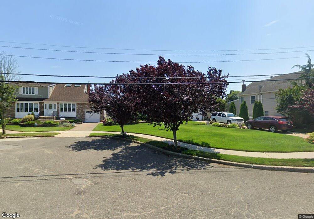
2855 Alfred Ct Oceanside, NY 11572
Estimated Value: $776,569 - $1,210,000
--
Bed
3
Baths
1,276
Sq Ft
$778/Sq Ft
Est. Value
About This Home
This home is located at 2855 Alfred Ct, Oceanside, NY 11572 and is currently estimated at $993,285, approximately $778 per square foot. 2855 Alfred Ct is a home located in Nassau County with nearby schools including Oaks Elementary School - School 3, Oceanside Middle School, and Oceanside High School.
Ownership History
Date
Name
Owned For
Owner Type
Purchase Details
Closed on
Mar 12, 2008
Sold by
Schmid Dennis
Bought by
Vella Thomas
Current Estimated Value
Purchase Details
Closed on
Feb 28, 1995
Sold by
Lyons Russell and Lyons Jane
Bought by
Schmid Dennis and Schmid Debbie
Home Financials for this Owner
Home Financials are based on the most recent Mortgage that was taken out on this home.
Original Mortgage
$202,000
Interest Rate
8.96%
Create a Home Valuation Report for This Property
The Home Valuation Report is an in-depth analysis detailing your home's value as well as a comparison with similar homes in the area
Home Values in the Area
Average Home Value in this Area
Purchase History
| Date | Buyer | Sale Price | Title Company |
|---|---|---|---|
| Vella Thomas | $665,000 | -- | |
| Schmid Dennis | $240,000 | -- |
Source: Public Records
Mortgage History
| Date | Status | Borrower | Loan Amount |
|---|---|---|---|
| Previous Owner | Schmid Dennis | $202,000 |
Source: Public Records
Tax History Compared to Growth
Tax History
| Year | Tax Paid | Tax Assessment Tax Assessment Total Assessment is a certain percentage of the fair market value that is determined by local assessors to be the total taxable value of land and additions on the property. | Land | Improvement |
|---|---|---|---|---|
| 2025 | $13,862 | $558 | $252 | $306 |
| 2024 | $3,826 | $563 | $254 | $309 |
| 2023 | $9,999 | $563 | $254 | $309 |
| 2022 | $9,999 | $563 | $254 | $309 |
| 2021 | $11,758 | $579 | $261 | $318 |
| 2020 | $8,160 | $570 | $569 | $1 |
| 2019 | $7,472 | $611 | $610 | $1 |
| 2018 | $7,583 | $651 | $0 | $0 |
| 2017 | $4,860 | $692 | $691 | $1 |
| 2016 | $7,711 | $732 | $731 | $1 |
| 2015 | $3,043 | $773 | $633 | $140 |
| 2014 | $3,043 | $773 | $633 | $140 |
| 2013 | $2,979 | $814 | $667 | $147 |
Source: Public Records
Map
Nearby Homes
- 25 Sunnybrook Dr E
- 2900 Yale Place
- 2941 Moreland Ave
- 2917 Yale Place
- 2810 1st Place
- 31 Arthur St
- 2929 Yale Place
- 653 Arthur St
- 647 Lincoln St
- 613 Smith Place
- 646 Lincoln St
- 719 Lincoln St
- 2708 Belcher St
- 3004 Harbor St
- 515 Chelsea Rd
- 689 Arlington Ave
- 710 Fishermans Rd
- 484 Chelsea Rd
- 3487 Anchor Place
- 3066 Ann St
- 2849 Alfred Ct
- 2871 Alfred Ct
- 2845 Alfred Ct
- 2860 Alfred Ct
- 2854 Alfred Ct
- 2846 Alfred Ct
- 2866 Alfred Ct
- 2850 Alfred Ct
- 2883 Alfred Ct
- 2883 Alfred Ct
- 2887 Alfred Ct
- 2872 Alfred Ct
- 2878 Alfred Ct
- 17 Sunnybrook Dr E
- 2884 Alfred Ct
- 11 Sunnybrook Dr E
- 27 Sunnybrook Dr E
- 9 Sunnybrook Dr E
- 3265 Brower Ave
- 2885 Sunnybrook Dr E