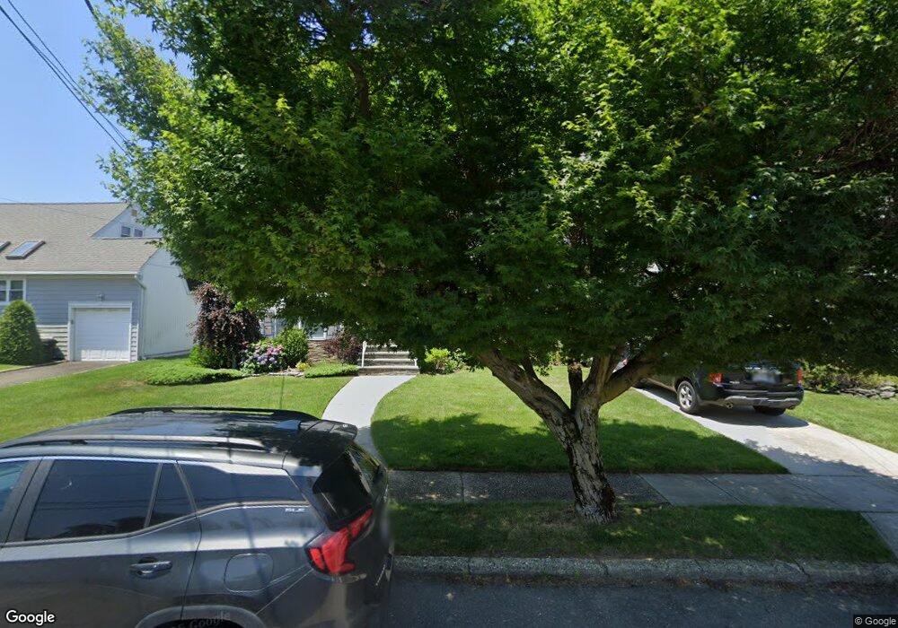
2860 Alfred Ct Oceanside, NY 11572
Estimated Value: $779,000 - $807,868
3
Beds
2
Baths
1,463
Sq Ft
$542/Sq Ft
Est. Value
About This Home
This home is located at 2860 Alfred Ct, Oceanside, NY 11572 and is currently estimated at $793,434, approximately $542 per square foot. 2860 Alfred Ct is a home located in Nassau County with nearby schools including Oaks Elementary School - School 3, Oceanside Middle School, and Oceanside High School.
Ownership History
Date
Name
Owned For
Owner Type
Purchase Details
Closed on
Apr 18, 2016
Sold by
Colonna Thomas and Colonna Laura
Bought by
Penikas Darius J and Mccourt Megan K
Current Estimated Value
Home Financials for this Owner
Home Financials are based on the most recent Mortgage that was taken out on this home.
Original Mortgage
$403,200
Outstanding Balance
$320,842
Interest Rate
3.73%
Mortgage Type
New Conventional
Estimated Equity
$472,592
Purchase Details
Closed on
Sep 30, 2015
Sold by
Yellen Francine
Bought by
Colonna Thomas and Colonna Laura
Create a Home Valuation Report for This Property
The Home Valuation Report is an in-depth analysis detailing your home's value as well as a comparison with similar homes in the area
Home Values in the Area
Average Home Value in this Area
Purchase History
| Date | Buyer | Sale Price | Title Company |
|---|---|---|---|
| Penikas Darius J | $504,000 | None Available | |
| Colonna Thomas | $368,000 | Attorney |
Source: Public Records
Mortgage History
| Date | Status | Borrower | Loan Amount |
|---|---|---|---|
| Open | Penikas Darius J | $403,200 |
Source: Public Records
Tax History Compared to Growth
Tax History
| Year | Tax Paid | Tax Assessment Tax Assessment Total Assessment is a certain percentage of the fair market value that is determined by local assessors to be the total taxable value of land and additions on the property. | Land | Improvement |
|---|---|---|---|---|
| 2025 | $13,531 | $490 | $198 | $292 |
| 2024 | $3,887 | $494 | $199 | $295 |
| 2023 | $12,659 | $513 | $207 | $306 |
| 2022 | $12,659 | $511 | $206 | $305 |
| 2021 | $16,666 | $507 | $205 | $302 |
| 2020 | $12,076 | $645 | $502 | $143 |
| 2019 | $10,967 | $645 | $502 | $143 |
| 2018 | $10,386 | $645 | $0 | $0 |
| 2017 | $4,928 | $645 | $502 | $143 |
| 2016 | $7,714 | $645 | $453 | $192 |
| 2015 | $2,806 | $681 | $426 | $255 |
| 2014 | $2,806 | $681 | $426 | $255 |
| 2013 | $2,737 | $715 | $447 | $268 |
Source: Public Records
Map
Nearby Homes
- 25 Sunnybrook Dr E
- 2941 Moreland Ave
- 2900 Yale Place
- 31 Arthur St
- 653 Arthur St
- 2917 Yale Place
- 2929 Yale Place
- 613 Smith Place
- 647 Lincoln St
- 646 Lincoln St
- 2810 1st Place
- 719 Lincoln St
- 3004 Harbor St
- 710 Fishermans Rd
- 3487 Anchor Place
- 3066 Ann St
- 515 Chelsea Rd
- 2708 Belcher St
- 3354 Knight St
- 484 Chelsea Rd
- 2854 Alfred Ct
- 2866 Alfred Ct
- 2850 Alfred Ct
- 17 Sunnybrook Dr E
- 2872 Alfred Ct
- 2855 Alfred Ct
- 27 Sunnybrook Dr E
- 2846 Alfred Ct
- 2871 Alfred Ct
- 2849 Alfred Ct
- 2878 Alfred Ct
- 2845 Alfred Ct
- 11 Sunnybrook Dr E
- 9 Sunnybrook Dr E
- 565 Sunnybrook Dr
- 2883 Alfred Ct
- 2883 Alfred Ct
- 2884 Alfred Ct
- 49 Rebecca Ln
- 18 Sunnybrook Dr E