2862 State Route 17k Middletown, NY 10941
Estimated Value: $513,000 - $592,765
4
Beds
3
Baths
2,288
Sq Ft
$244/Sq Ft
Est. Value
About This Home
This home is located at 2862 State Route 17k, Middletown, NY 10941 and is currently estimated at $557,255, approximately $243 per square foot. 2862 State Route 17k is a home with nearby schools including Pine Bush Elementary School, Crispell Middle School, and Pine Bush Senior High School.
Ownership History
Date
Name
Owned For
Owner Type
Purchase Details
Closed on
Feb 1, 2001
Sold by
Aronson James
Bought by
Rodriguez Patrick and Rodriguez Monserrate
Current Estimated Value
Home Financials for this Owner
Home Financials are based on the most recent Mortgage that was taken out on this home.
Original Mortgage
$155,826
Outstanding Balance
$60,414
Interest Rate
7.13%
Mortgage Type
Purchase Money Mortgage
Estimated Equity
$496,841
Create a Home Valuation Report for This Property
The Home Valuation Report is an in-depth analysis detailing your home's value as well as a comparison with similar homes in the area
Home Values in the Area
Average Home Value in this Area
Purchase History
| Date | Buyer | Sale Price | Title Company |
|---|---|---|---|
| Rodriguez Patrick | $38,000 | -- |
Source: Public Records
Mortgage History
| Date | Status | Borrower | Loan Amount |
|---|---|---|---|
| Open | Rodriguez Patrick | $155,826 |
Source: Public Records
Tax History Compared to Growth
Tax History
| Year | Tax Paid | Tax Assessment Tax Assessment Total Assessment is a certain percentage of the fair market value that is determined by local assessors to be the total taxable value of land and additions on the property. | Land | Improvement |
|---|---|---|---|---|
| 2024 | $10,454 | $116,300 | $21,900 | $94,400 |
| 2023 | $10,454 | $114,200 | $21,900 | $92,300 |
| 2022 | $10,137 | $114,200 | $21,900 | $92,300 |
| 2021 | $9,987 | $114,200 | $21,900 | $92,300 |
| 2020 | $9,541 | $114,200 | $21,900 | $92,300 |
| 2019 | $9,272 | $114,200 | $21,900 | $92,300 |
| 2018 | $9,272 | $114,200 | $21,900 | $92,300 |
| 2017 | $9,144 | $114,200 | $21,900 | $92,300 |
| 2016 | $9,226 | $114,200 | $21,900 | $92,300 |
| 2015 | -- | $114,200 | $21,900 | $92,300 |
| 2014 | -- | $114,200 | $21,900 | $92,300 |
Source: Public Records
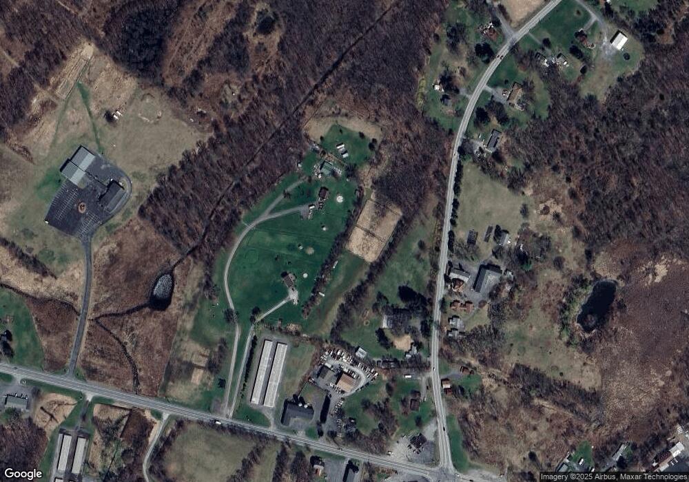
Map
Nearby Homes
- 24 Woodside Ct
- 26 Roberson Ave
- 34 Feiertag Rd
- 26 Joshua Dr
- 150 Long Ln
- 254 Long Ln
- 321 Crans Mill Rd
- 335 Burlingham Rd
- 390 Hufcut Rd
- 450 New York 17k
- 2424 State Route 17k
- 1901 Route 302
- 64 Seaman Rd
- 295 Lybolt Rd
- 2416 State Route 17k
- 264 Lybolt Rd
- 75 Susan Ln
- 20 Seaman Rd
- 6 Tice Ln
- 441 County Route 48
- 2856 State Route 17k
- 2866 State Route 17k
- 1350 State Route 302
- 1356 State Route 302
- 1317 New York 302
- 1308 State Route 302
- 1416 New York 302
- 1401 State Route 302
- 2846 State Route 17k
- 2888 New York 17k
- 2888 State Route 17k
- 1307 State Route 302
- 1300 State Route 302
- 1418 State Route 302
- 1418 New York 302
- 660 Burlingham Rd
- 2839 State Route 17k
- 655 Lybolt Rd
- 655 Lybolt Rd Unit 2