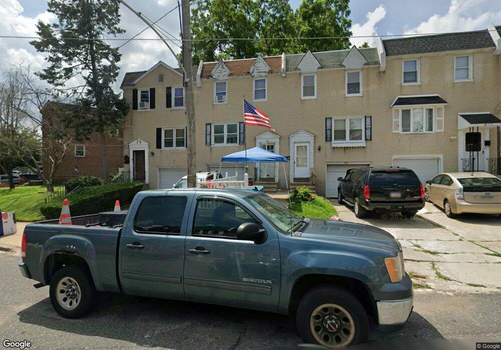
2873 Angus Rd Philadelphia, PA 19114
Torresdale NeighborhoodEstimated Value: $266,000 - $322,000
3
Beds
1
Bath
1,296
Sq Ft
$230/Sq Ft
Est. Value
About This Home
This home is located at 2873 Angus Rd, Philadelphia, PA 19114 and is currently estimated at $297,565, approximately $229 per square foot. 2873 Angus Rd is a home located in Philadelphia County with nearby schools including Lincoln High School, Robert B. Pollock School, and Meehan Austin Middle School.
Ownership History
Date
Name
Owned For
Owner Type
Purchase Details
Closed on
Jul 19, 2001
Sold by
Demarco Blair
Bought by
Nally Thomas
Current Estimated Value
Home Financials for this Owner
Home Financials are based on the most recent Mortgage that was taken out on this home.
Original Mortgage
$70,000
Outstanding Balance
$26,976
Interest Rate
7.14%
Estimated Equity
$270,589
Purchase Details
Closed on
Apr 20, 2001
Sold by
Beneficial Svgs Bank
Bought by
Demarco Blair
Purchase Details
Closed on
Aug 28, 2000
Sold by
Walsh Daniel
Bought by
Beneficial Svgs Bank
Create a Home Valuation Report for This Property
The Home Valuation Report is an in-depth analysis detailing your home's value as well as a comparison with similar homes in the area
Home Values in the Area
Average Home Value in this Area
Purchase History
| Date | Buyer | Sale Price | Title Company |
|---|---|---|---|
| Nally Thomas | $87,500 | -- | |
| Demarco Blair | $51,895 | -- | |
| Beneficial Svgs Bank | $12,500 | -- |
Source: Public Records
Mortgage History
| Date | Status | Borrower | Loan Amount |
|---|---|---|---|
| Open | Nally Thomas | $70,000 |
Source: Public Records
Tax History Compared to Growth
Tax History
| Year | Tax Paid | Tax Assessment Tax Assessment Total Assessment is a certain percentage of the fair market value that is determined by local assessors to be the total taxable value of land and additions on the property. | Land | Improvement |
|---|---|---|---|---|
| 2025 | $3,024 | $272,300 | $54,460 | $217,840 |
| 2024 | $3,024 | $272,300 | $54,460 | $217,840 |
| 2023 | $3,024 | $216,000 | $43,200 | $172,800 |
| 2022 | $1,818 | $171,000 | $43,200 | $127,800 |
| 2021 | $2,448 | $0 | $0 | $0 |
| 2020 | $2,448 | $0 | $0 | $0 |
| 2019 | $2,305 | $0 | $0 | $0 |
| 2018 | $1,344 | $0 | $0 | $0 |
| 2017 | $1,764 | $0 | $0 | $0 |
| 2016 | $1,344 | $0 | $0 | $0 |
| 2015 | $1,286 | $0 | $0 | $0 |
| 2014 | -- | $126,000 | $57,870 | $68,130 |
| 2012 | -- | $19,840 | $3,900 | $15,940 |
Source: Public Records
Map
Nearby Homes
- 2843 Woodbridge Rd
- 9428 Woodbridge Rd
- 2710 Riverhouse Rd
- 2833 Saxton Rd
- 9311 Andover Rd
- 2959 Tremont St
- 3215 Brookdale Rd
- 9328 Academy Rd
- 2738 Maxwell St
- 2831 Sebring Rd
- 9214 Andover Rd
- 3108 Fairfield St
- 2831 Chase Rd
- 9202 Treaty Rd
- 9612 Convent Ave
- 2777 Welsh Rd
- 3414 Aubrey Ave
- 2742 Welsh Rd
- 9235 Outlook Ave
- 3427 Aubrey Ave
- 2875 Angus Rd
- 2871 Angus Rd
- 2877 Angus Rd
- 2879 Angus Rd
- 2867 Angus Rd
- 2865 Angus Rd
- 2863 Angus Rd
- 2861 Angus Rd
- 2859 Angus Rd
- 2838 Woodbridge Rd
- 2844 Woodbridge Rd
- 2836 Woodbridge Rd
- 2842 Woodbridge Rd
- 2840 Woodbridge Rd
- 2834 Woodbridge Rd
- 2857 Angus Rd
- 2832 Woodbridge Rd
- 2830 Woodbridge Rd
- 2880 Angus Rd
- 2855 Angus Rd